Ullock Pike, Long Side, Carl Side & Skiddaw

Ullock Pike
2230 feet
Long Side
2405 feet
Carl Side
2420 feet
Skiddaw
3053 feet

Date                    18/09/2010

Walk done by:  Susan, Jed, Paul, Troy, Ruby, Sue, Paul Emma, Jamie, Sara, Carol & Karen

Weather:            Mostly cloudy , rain shower, mist and strong winds on Skiddaw summit

Distance             6.0 miles. 2700 ft of ascent

Started at:          Lay by on the Orthwaite road


An early start for this tough walk as parking at our intended spot is difficult. I was driving, and picked Susan up and then Paul. Then it was on to meet two more cars at M65 J3. We were on the Motorway by 7.25. Before 9am we had parked on the Bell Close car park in Keswick for a break and had some toasties from the extortionately priced cafe before heading off to the lay-by on the Orthwaite road. After manoeuvreing around a silly old woman in a 4x4 who would not reverse 20 ft., we finally parked up and started the walk at 9.40

It was reasonably fine with some sunny spells as we we reached Watches, a natural rock deposit. at the foot of the ridge to Ullock Pike. Mist was hovering above Skiddaw. The weather was changing all the time and a 5 minute shower on the upper slopes of Ullock Pike forced us to get the waterproof's out. By the time we had reached the top it had stopped. Some of the party had never attempted a walk of this magnitude and had done superbly so far.

After Ullock Pike, Long Side and Carl Side were easy to scale, though Carol did wonder why we did Carl Side when there was a short cut to Skiddaw which omitted the short climb to Carl Side. We had lunch on Carl Side with the vista of Keswick and the NW fells below us.

Then it was time for the final 780 foot climb to the south top of Skiddaw. Not difficult, but a steep ascent, though one or two of the party were unimpressed by it. After taking our time, and some off us having to wait for Susan to apply blister patches to her feet, we finally met up with everyone in a shelter on the south top. The wind was very strong and loud - making it almost impossible to hear anyone. Paul and I took compass bearings as the mist had cut out all views and Skiddaw is difficult to navigate off in thick mist as paths cannot be seen on the slate surface of this massive mountain. And then we set off for the summit.

We didn't linger as there was no view and a strong biting wind did not make it an hospitable place. Very soon we were off the summit, and suddenly the wind ceased, there was silence. At the same time the mist simply evaporated and we had views to Skiddaw House to the east and the coast to the west.

Arriving at the 831m point we took a bearing to lead us in the direction of Cockup, then making a sharp turn to descend the steep slopes of White Horse. After the log steep descent we took a breather at Barkbeth Gill, filling bottles with the crystal clear mountain water. From there it was a small climb over sodden ground to Little Knott then a gradual descent all the way to the cars

A tough 6 mile walk with 4 summits all (above the 2000ft) that we all accomplished with ease, with sore feet or aching legs being the only problems. I enjoyed it and I hope everyone else did. Anyone who climbed this today can climb any summit in the Lakes.

Links to previous walks and to be able to see different weather condtions are here

Photo's by J. McCormick unless otherwise stated

27/4/2002

4/5/2002 17/10/2009


Please press the REFRESH button on your browser if any pictures fail to load

Best viewed at 1024 x 768 resolution (or better)

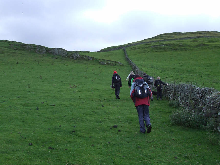
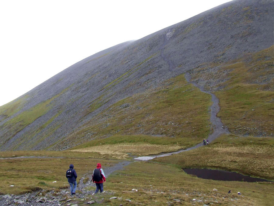
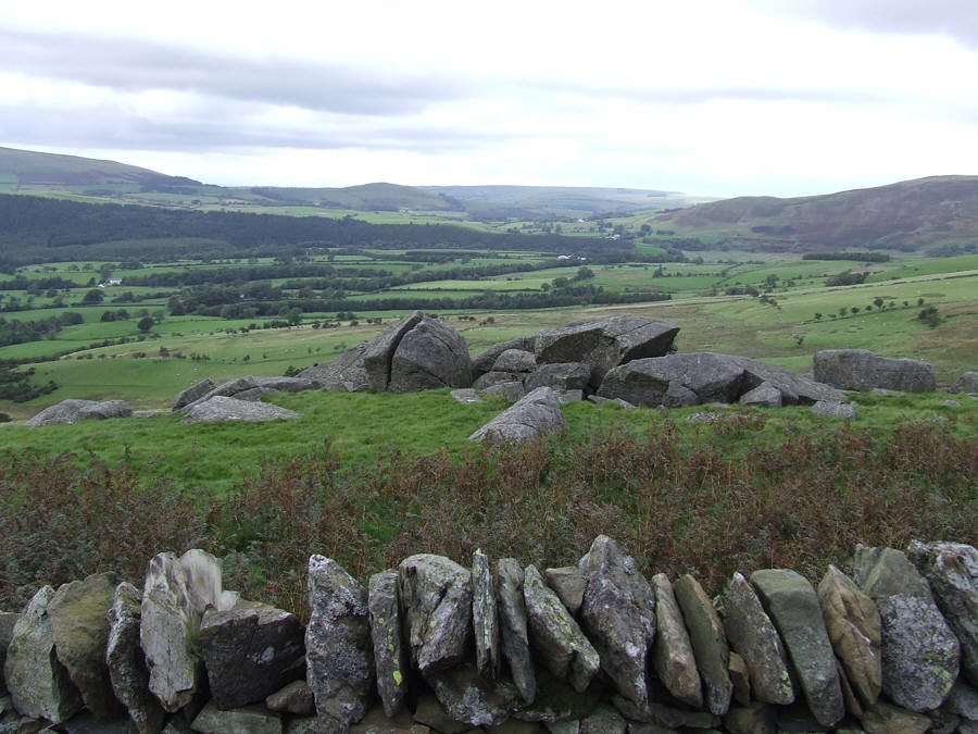
Shortly after leaving the cars this is the start of the ascent to Watches.


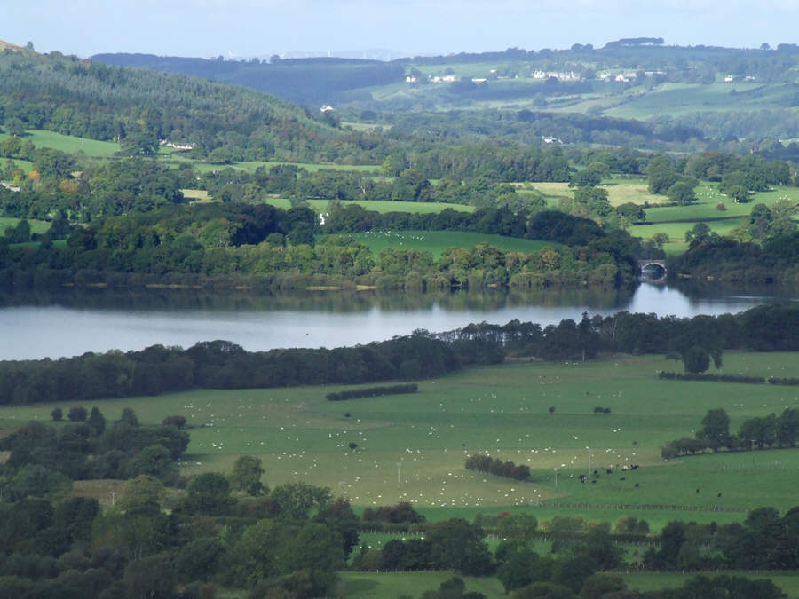
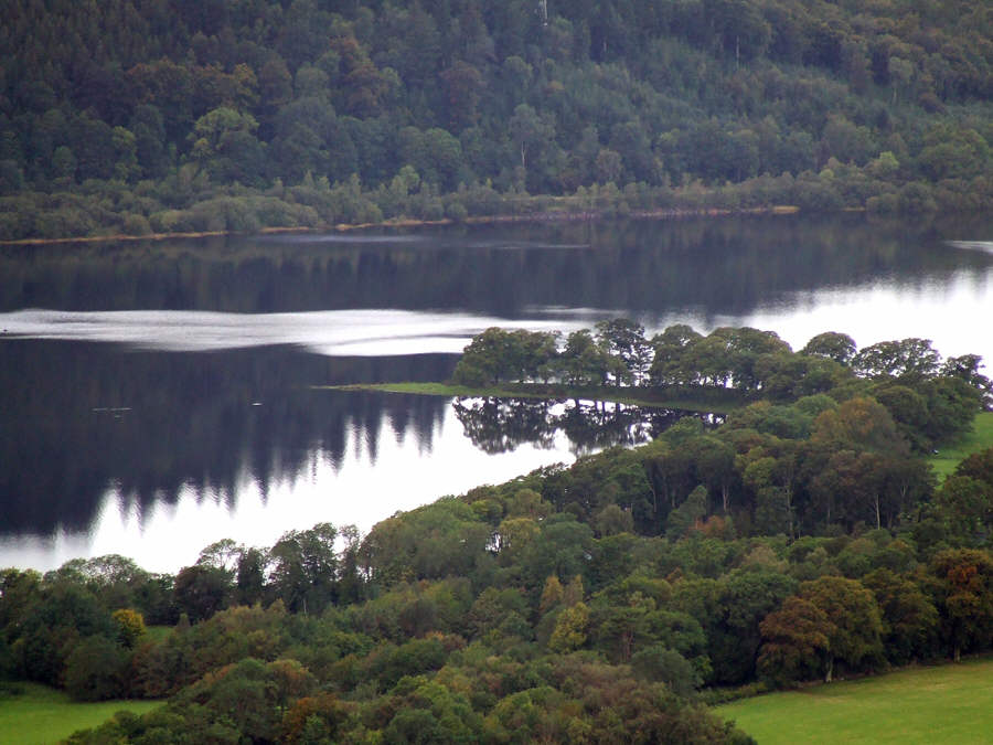
This is the view to the head of Bassenthwaite Lake from the intake wall


After the intake wall we take the green path to Watches


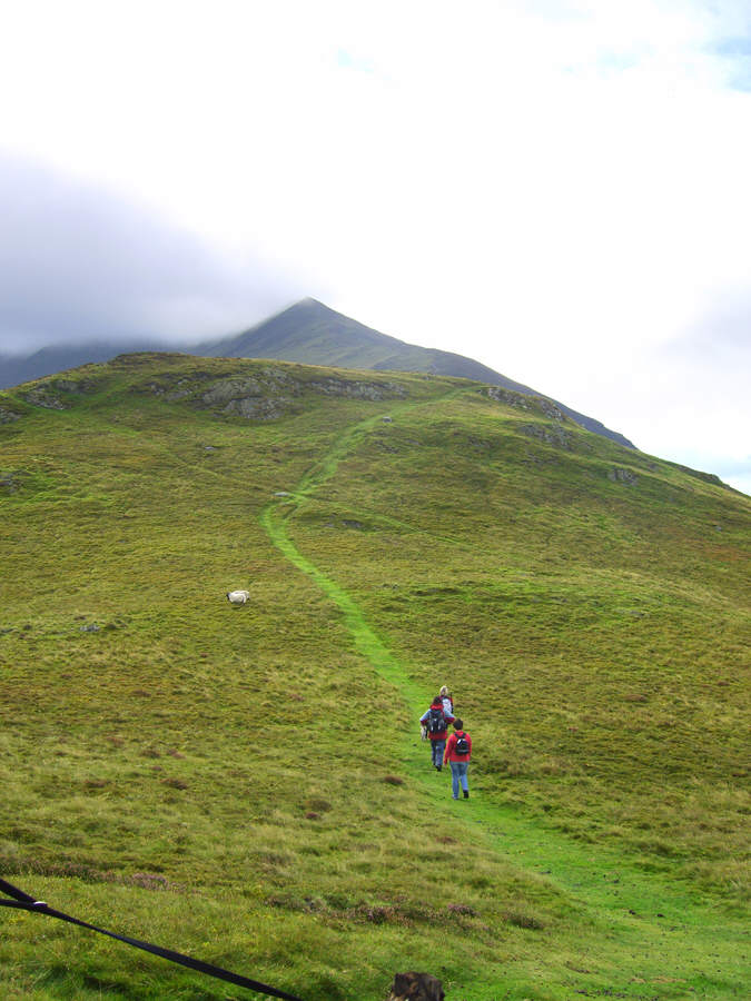
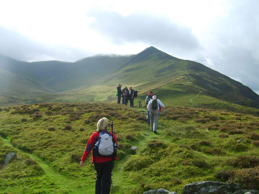
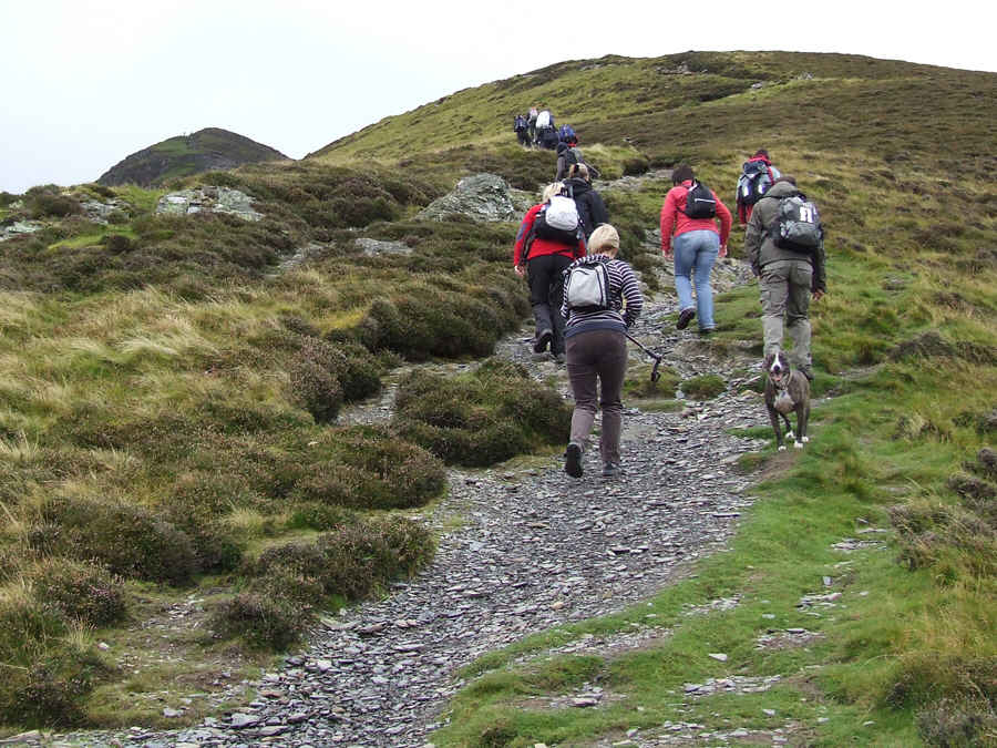
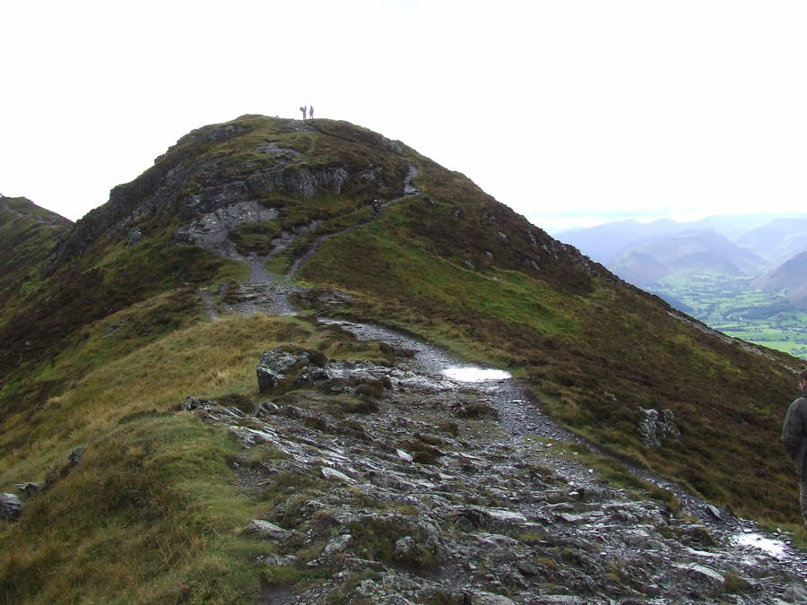
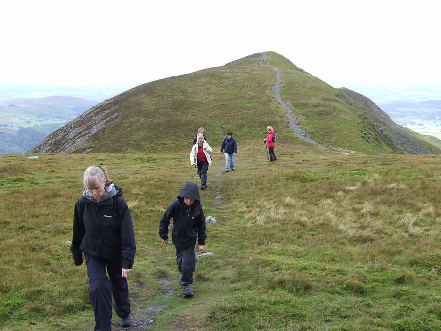
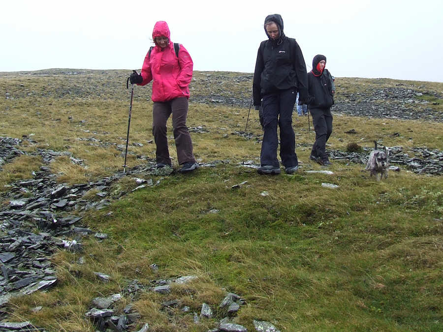
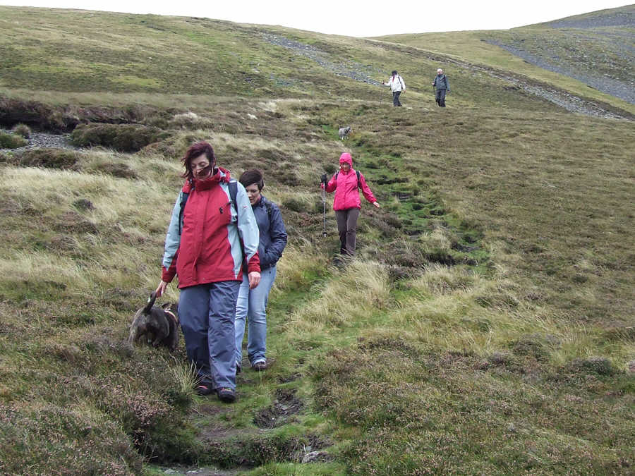
Susan, Karen and Carol on the path to Watches. The false summit of Ullock Pike is in the distance - photo: Sara Tomlinson


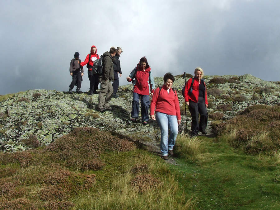
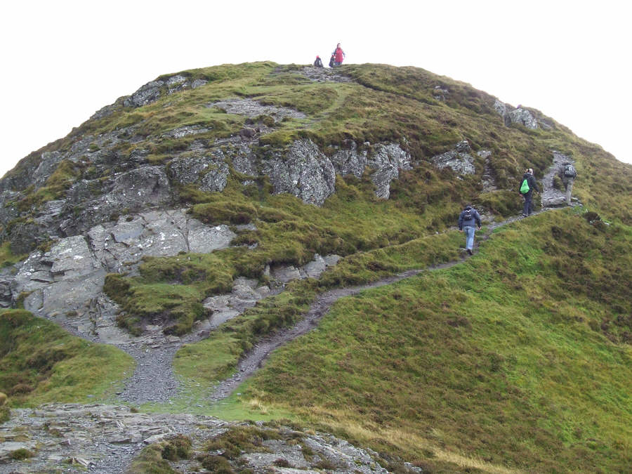
It looks so easy from Watches! photo: Sara Tomlinson


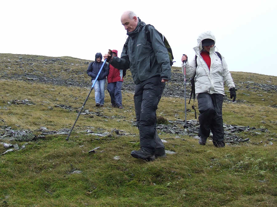
Carol, Susan, Karen, Paul, Sue Emma and Jamie leave Watches for the start of the serious ascent to Ullock Pike


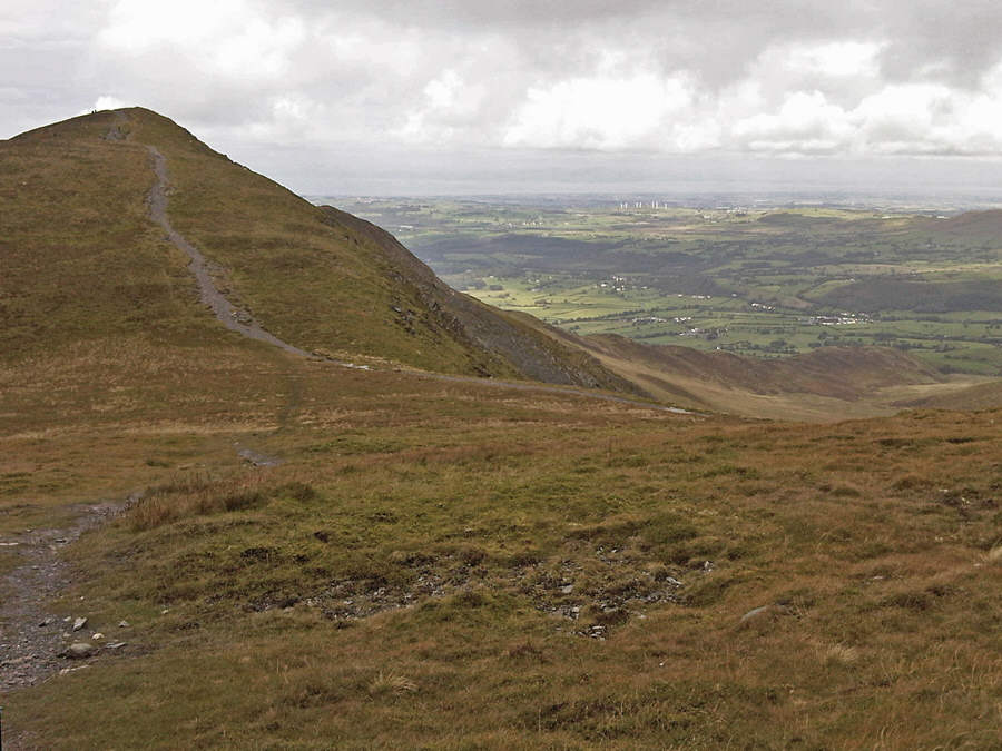
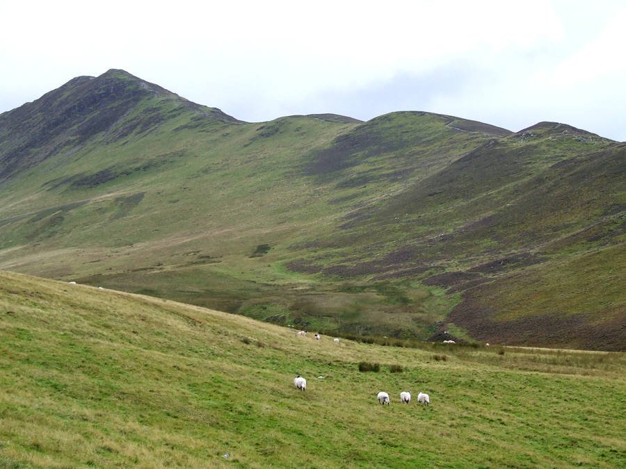
Scar Ness from near Watches


Sale Fell across Bass. Lake photo: Sara Tomlinson


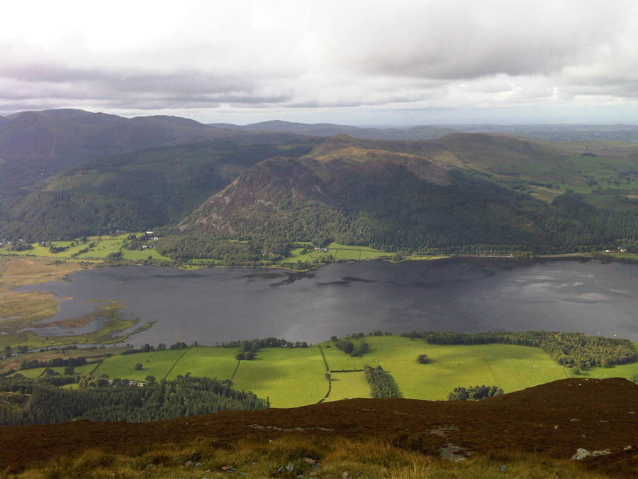
Barf, Lords Seat and Broom Fell photo: Sara Tomlinson
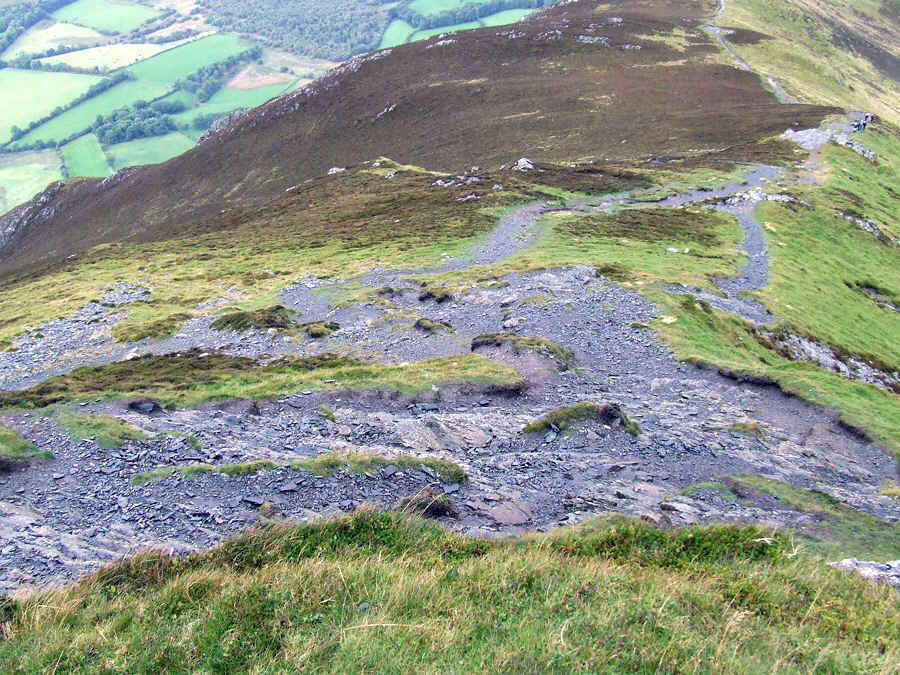
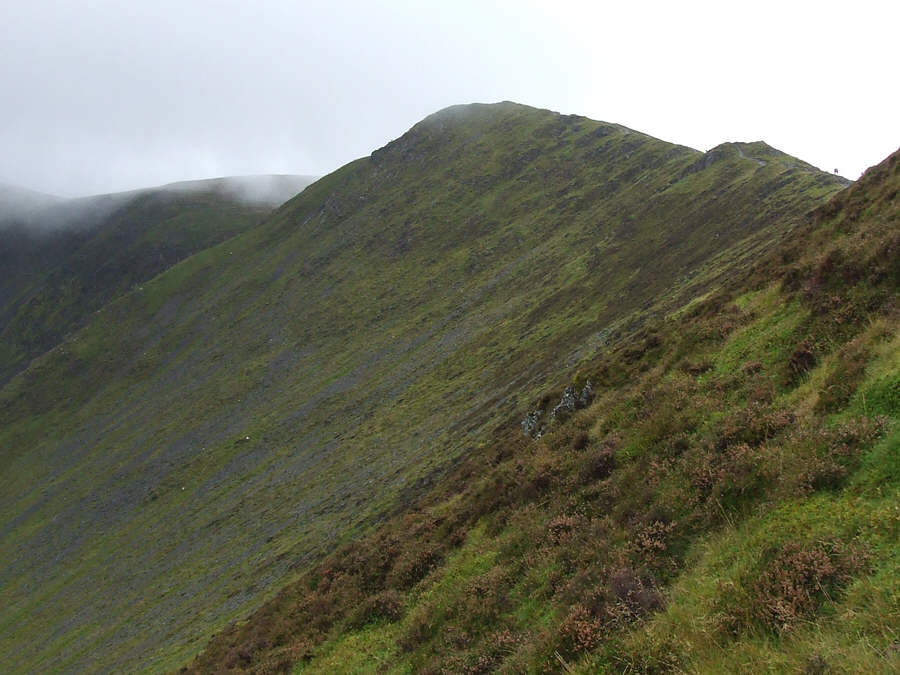
 

Ascending The Edge


Height has been gained and we are now on The Edge. Bass. Lake is far below - Photo: P Thomason


Ruby and Jamie on The Edge - the ascent is steep


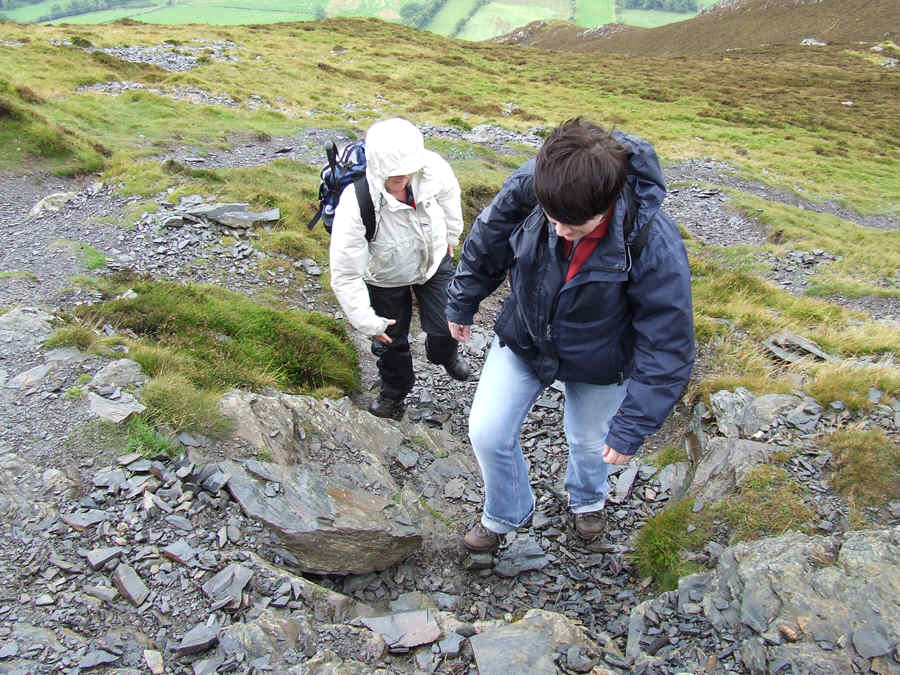
Carol and Susan about to begin a small scramble


A section of the steep path we have climbed. Note the fields way below


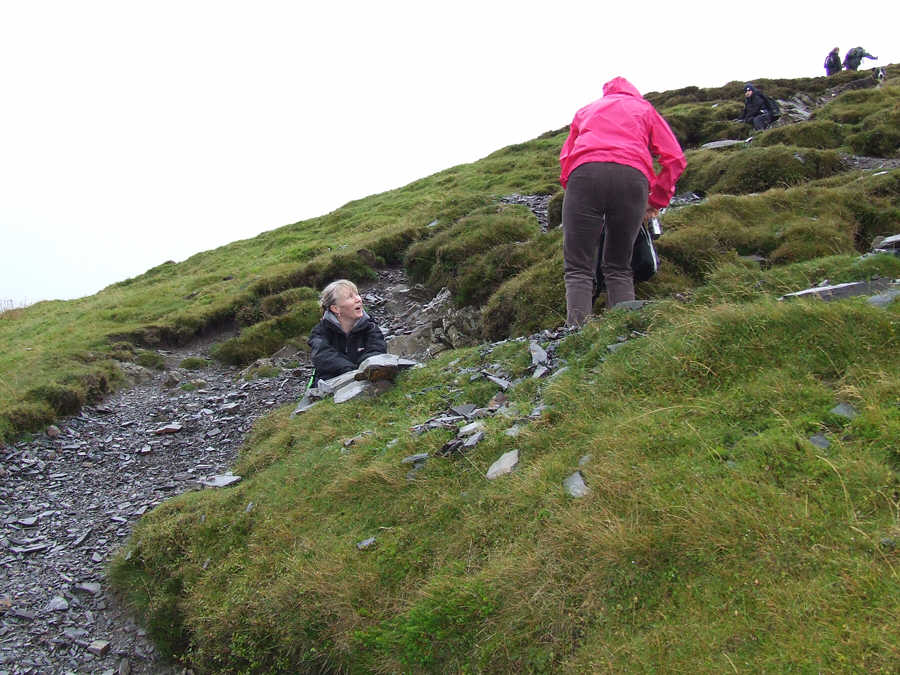
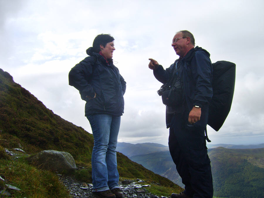
Taking a break - but almost there.


Looking down our route of ascent


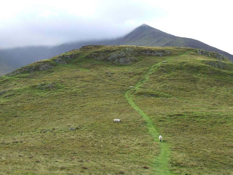
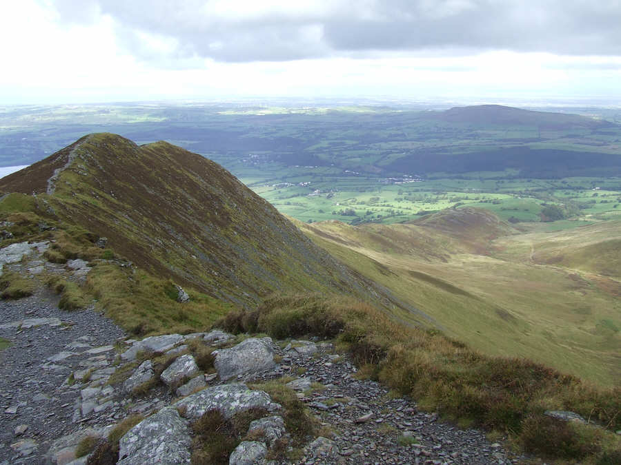
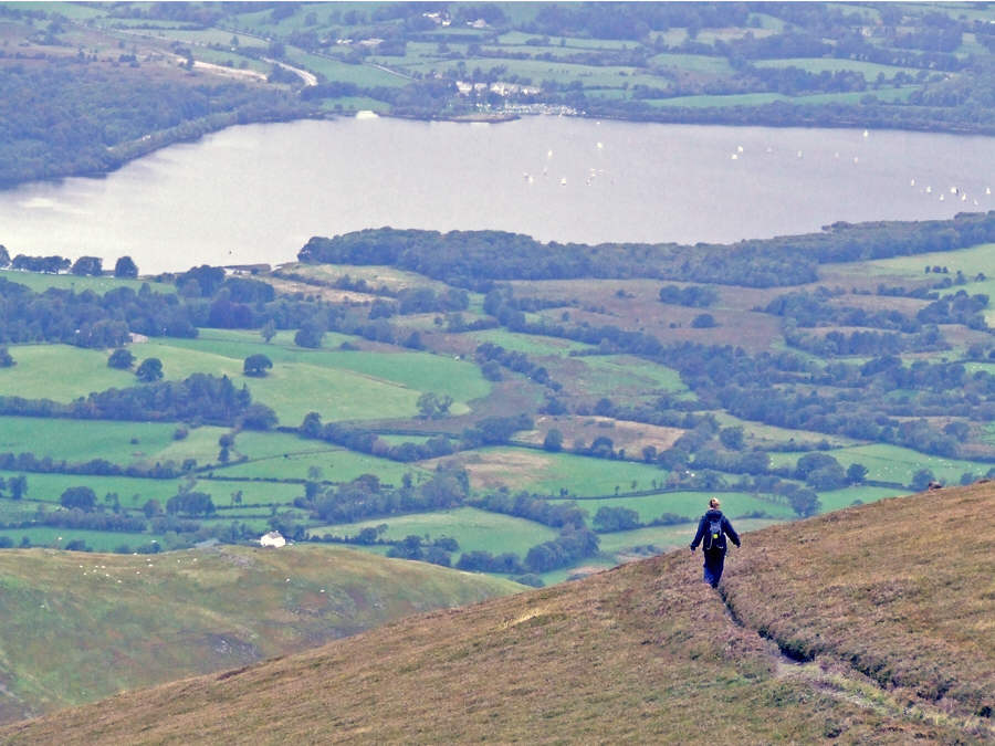
Long Side from near the summit of Ullock Pike. To give a sense of scale, note the lone walker on the ridge (right)


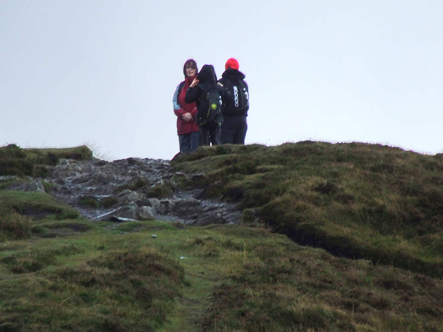
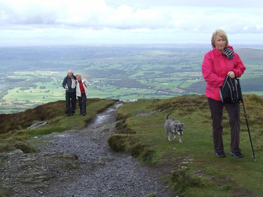
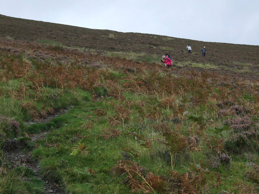
"We are nearly there" photo: Sara Tomlinson


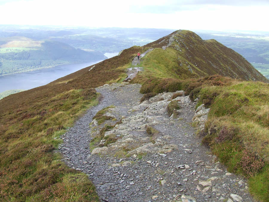
The Edge - photo: P. Thomason


Impromptu artwork


Troy waits for everyone to catch up


Ullock Pike summit


Zooming in on Karen, Jamie and Emma on the summit....


....waiting for everyone else to get there.


Skiddaw shrouded in mist, take from Ullock Pike


Sara, Ruby Paul and Susan reach the top with a spectacular view behind them


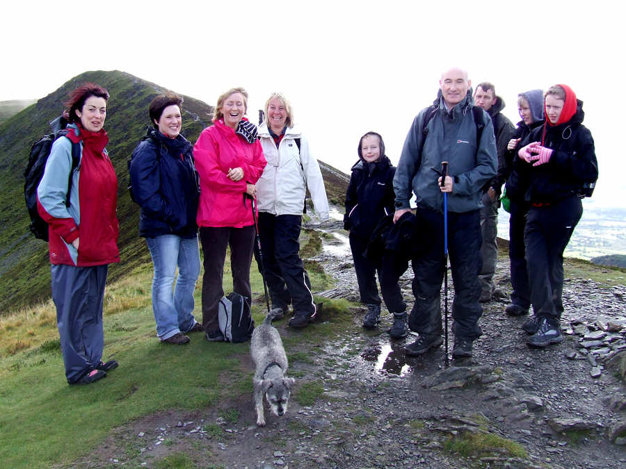
Everyone on the top - except Troy and I


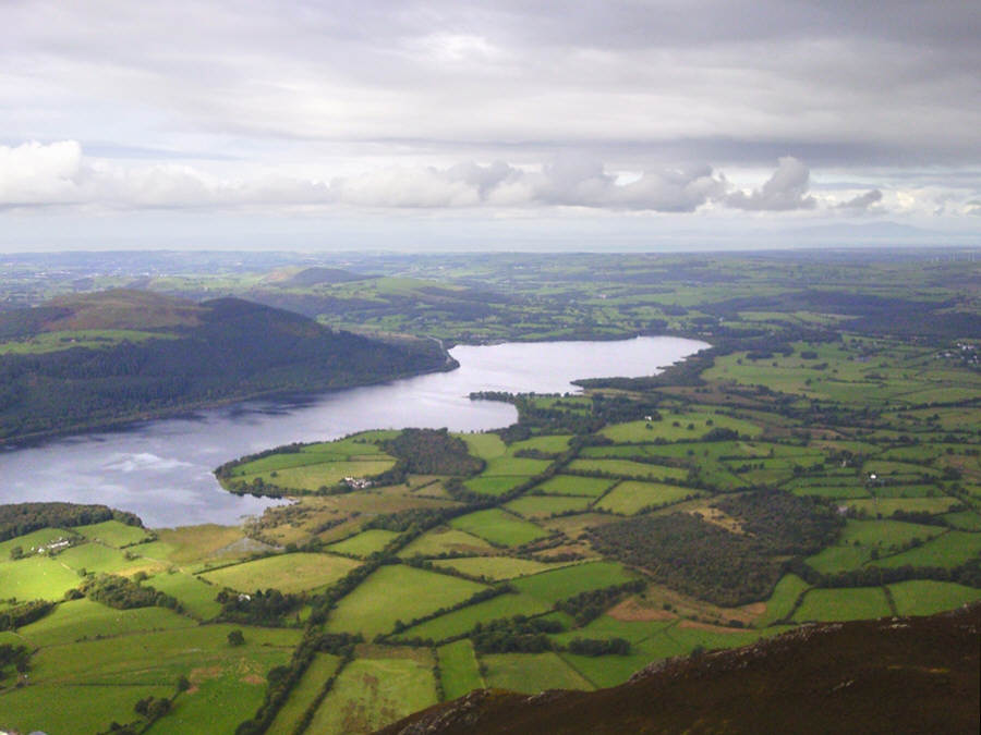
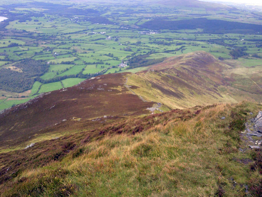
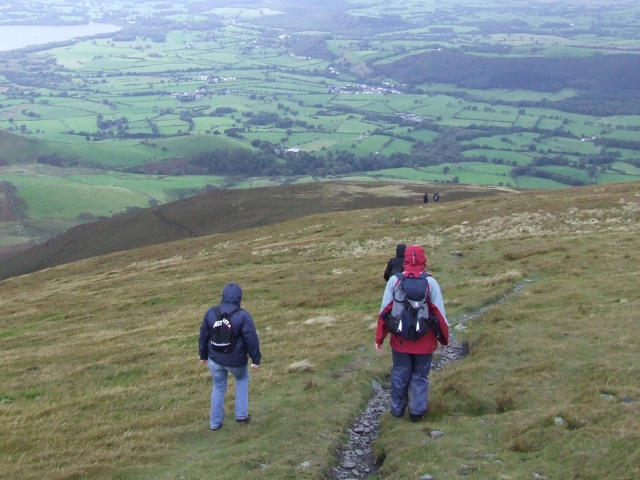
The easy track to Lond Side photo: Sara Tomlinson


...and looking back to Ullock Pike photo: Sara Tomlinson


Looking over to the might of Skiddaw. The path we would take to its summit is clearly visible - photo: P. Thomason
Looking back to Ullock Pike from the slopes of Long Side. Bass Lake if far below


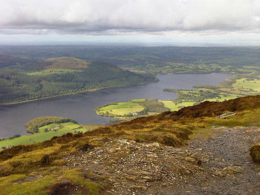
A clear Skiddaw with our path of ascent on the right. Sue would hate this later on!


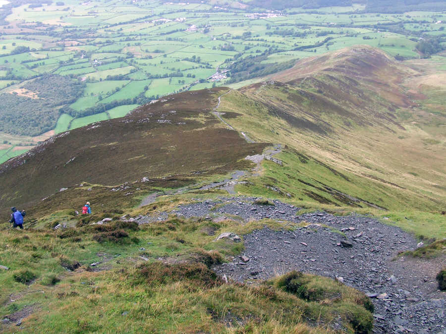
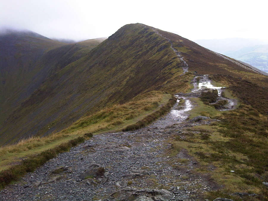
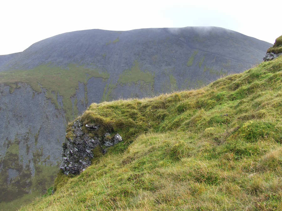
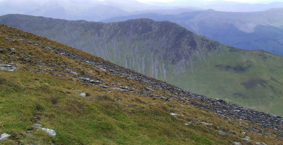
The ridge we had just climbed .


On the ridge


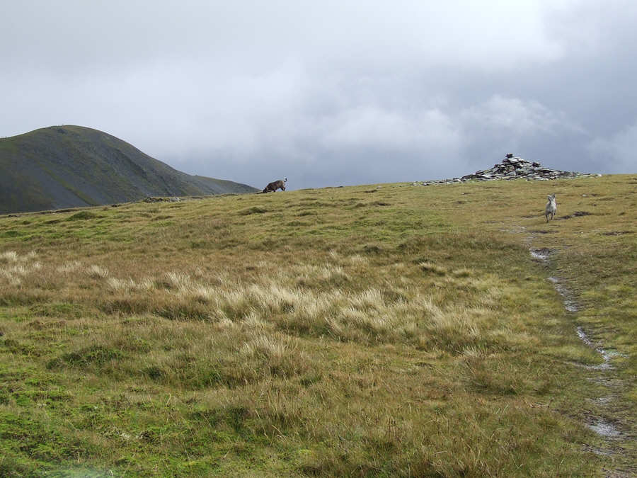
Troy and Ruby reach Carl Side first


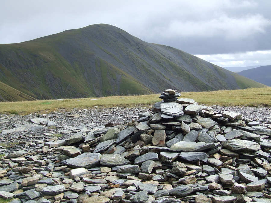
Carl Side summit cairn with Skiddaw Little Man beyond


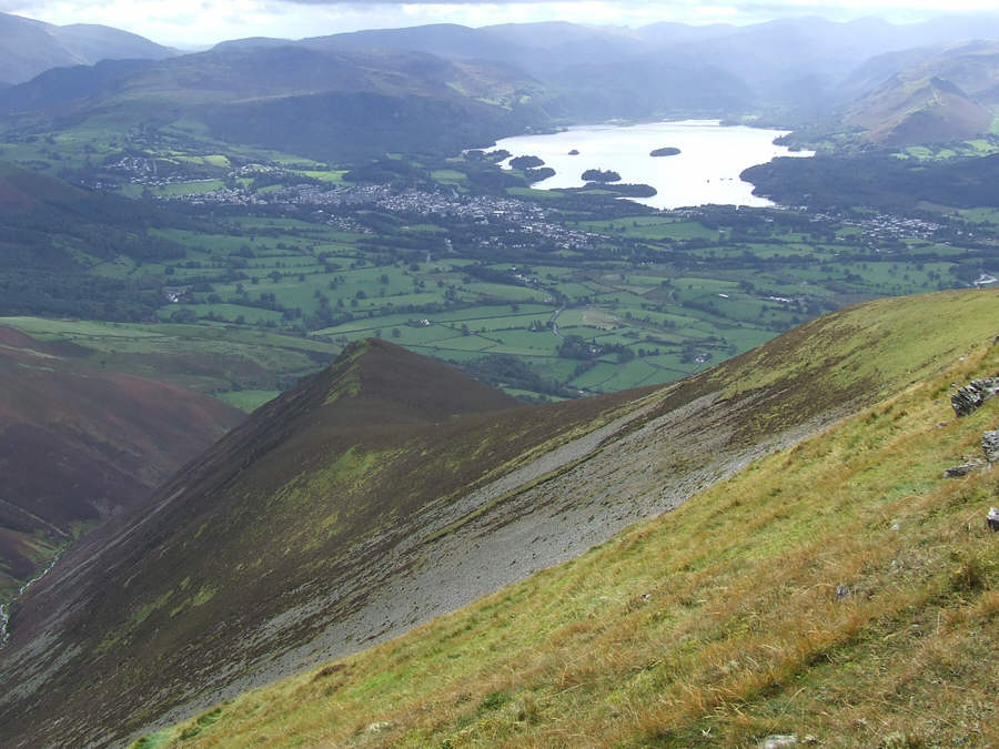
Time for lunch with this vista. Keswick and Derwent Water way below Carl Side's south ridge


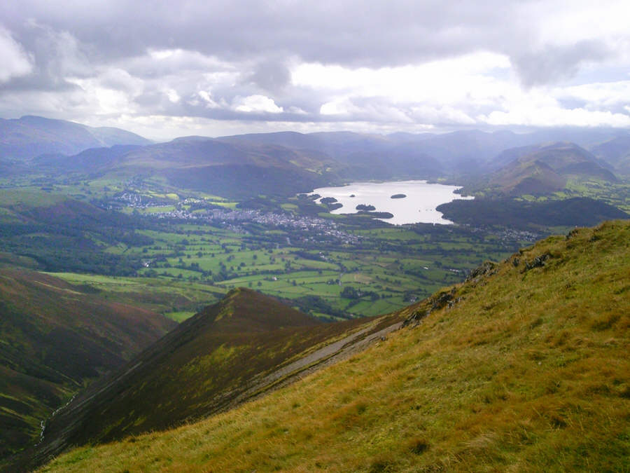
The view from our lunch spot on Carl Side photo: P. Thomason


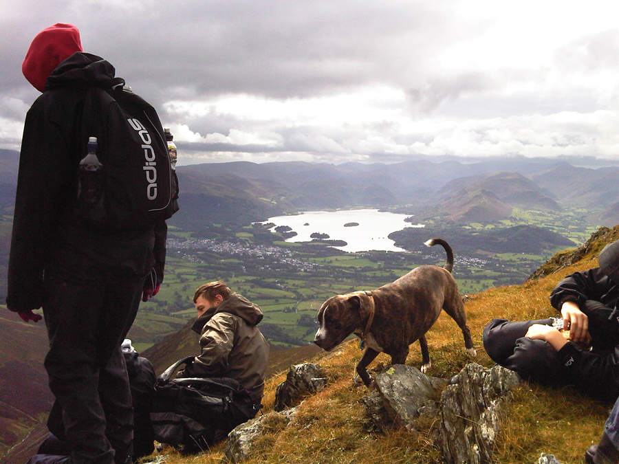
Lunch time and Troy has just been given some well earned food photo: Sara Tomlinson


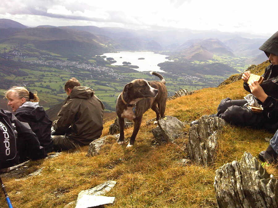
Emma, Sue, Paul and Jamie with Troy hoping he'll be offered something from Jamie photo: Sara Tomlinson


Slades Beck photo: Sara Tomlinson

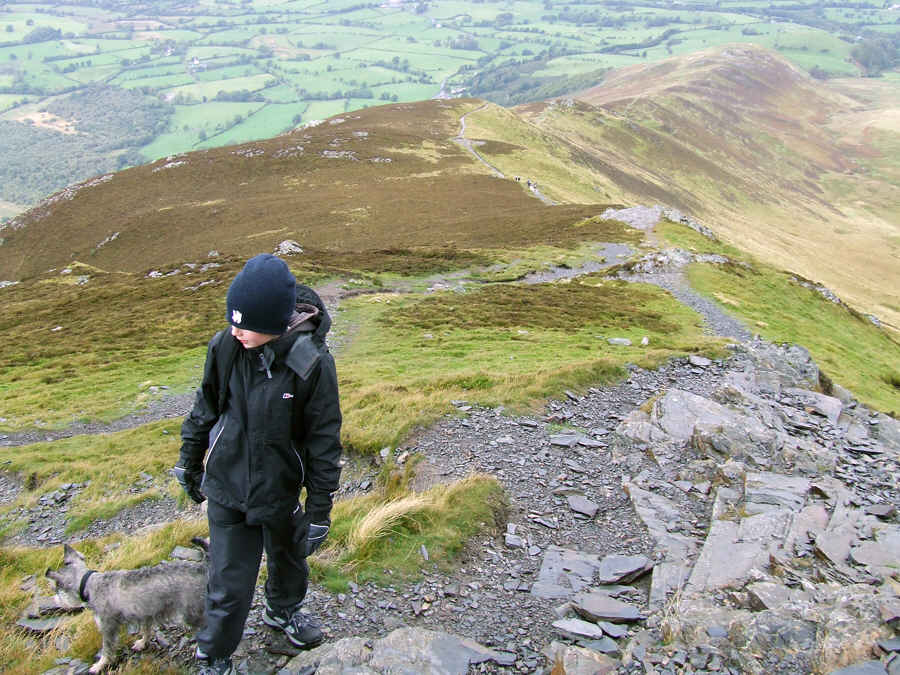
780 feet to go as we pass the tiny Carlside Tarn


The Ullock Pike ridge from the path to Skiddaw


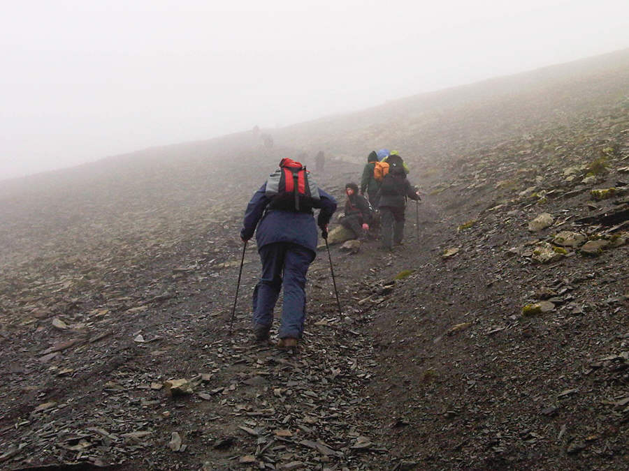
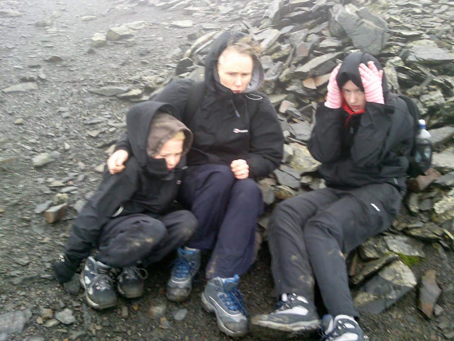
At this point on the path to the summit we met several other people - and the weather closed in photo: Sara Tomlinson


Jed looks up the easy gradient to the summit photo: Sara Tomlinson


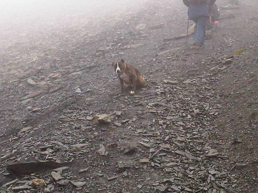
... whilst Troy is pigged off. He hates wind with rain photo: Sara Tomlinson


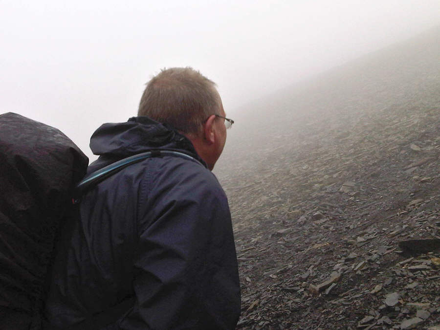
The weather deteriorated near the summit and here Sue is probably explaining to Emma and Jamie that Skiddaw is made from marine deposits, unlike other mountain ranges in the Lake District - photo: P. Thomason


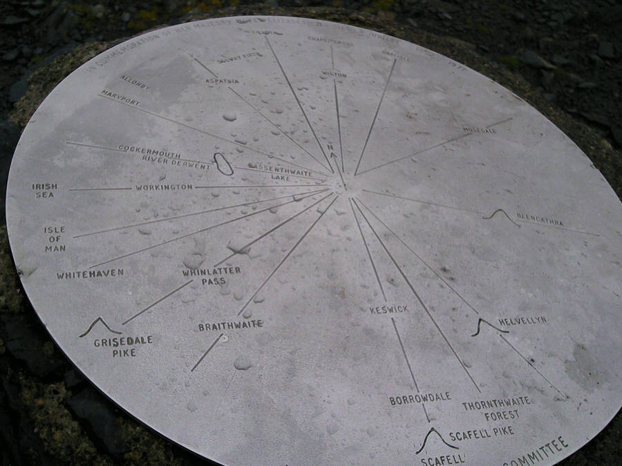
Very near the Trig Point stands this stainless steel information plaque photo: P Thomason


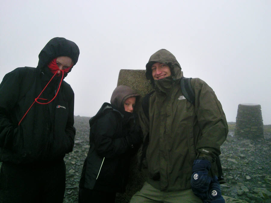
Emma (with a red letter P hanging from her nose), Jamie and Paul at the Trig point 3053 feet above sea level. The informational plaque is behind them photo: Susan Thomason


The wind was attrocious on Skiddaw summit, but it suddenly stopped as we made for Broad End


Here Paul gingerly takes one small step for mankind
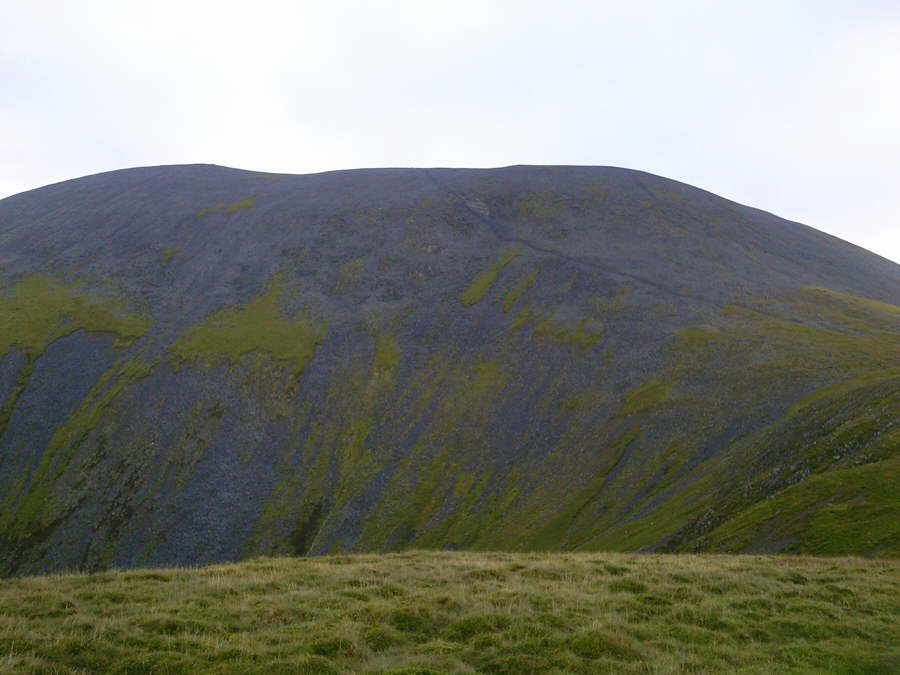
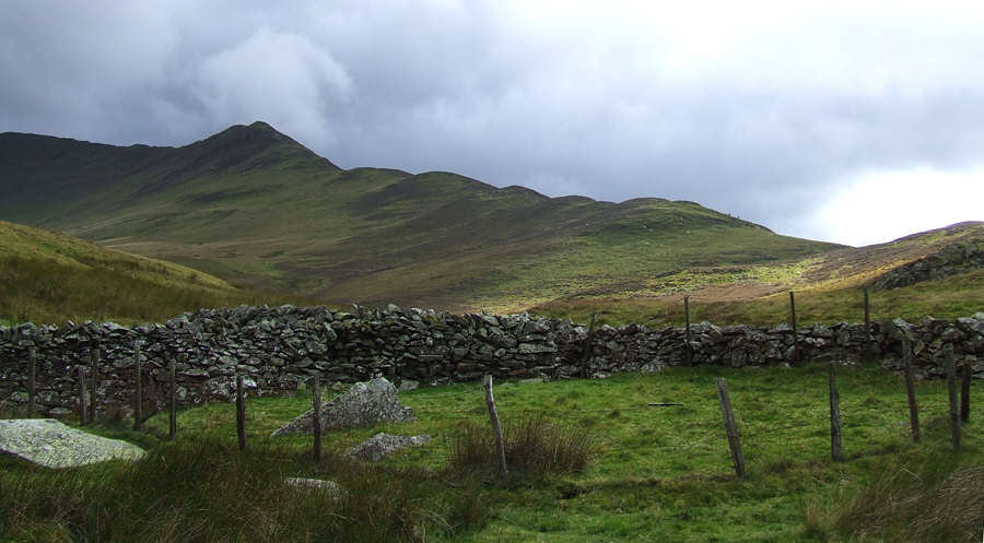
 

Ullock Pike


The descent to White Horse


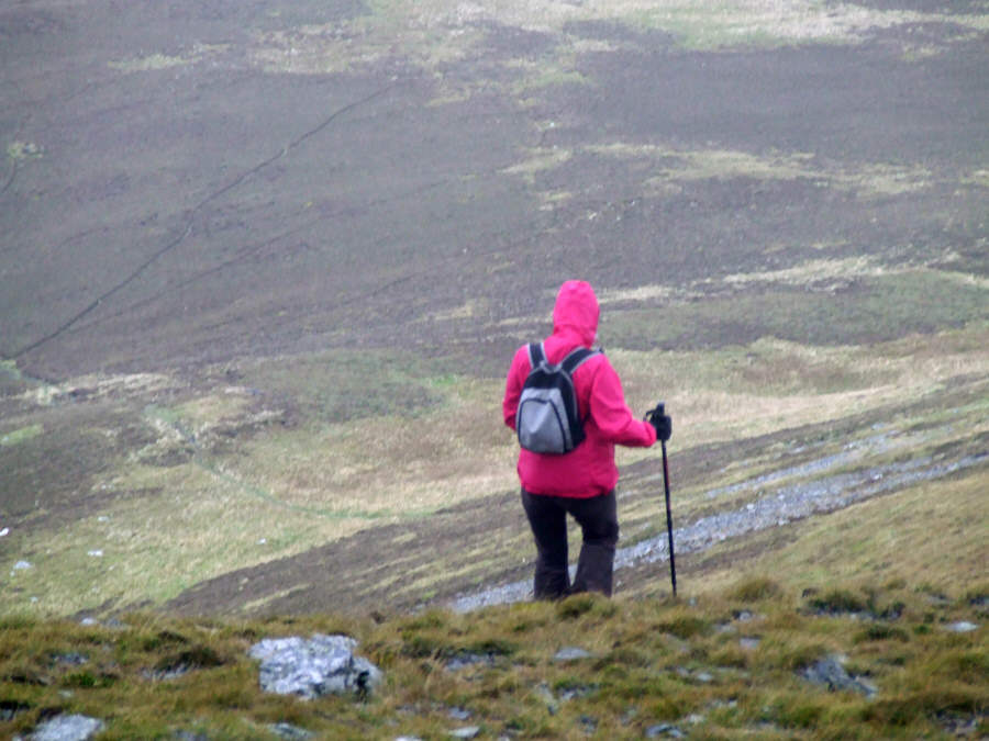
Sara starts the descent


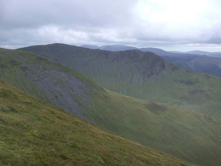
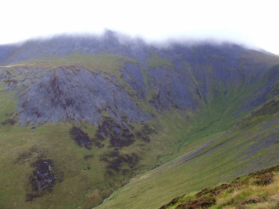
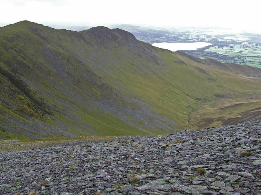
Looking over Randel Crag and Southerndale to Long Side and Ullock Pike


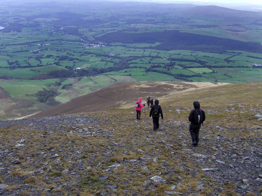
Carol and Karen going down Broad End


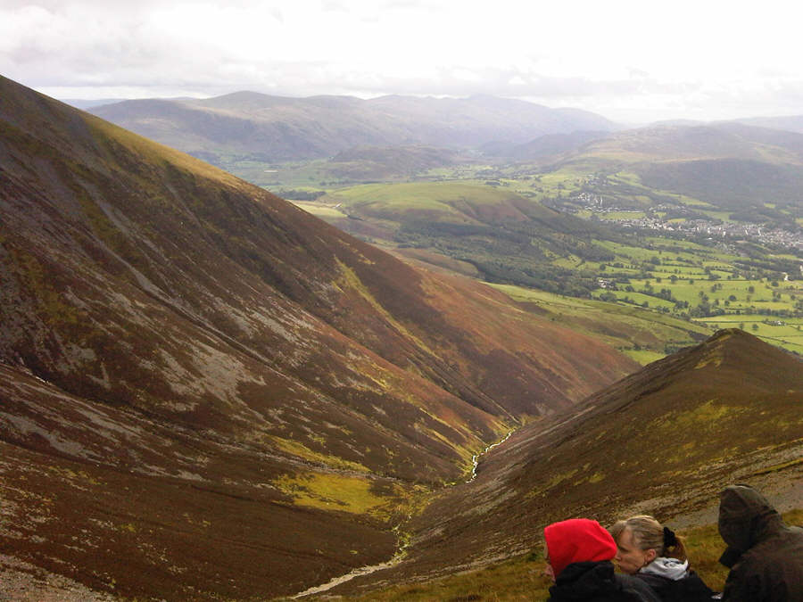
Emma approaches the start of the very steep descent to Barkbeth Gill


...whilst behind are Karen, Carol, Sara, Susan and Paul and the two dogs


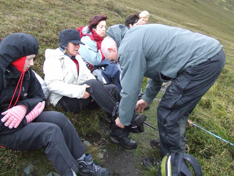
Rest time before the start of the trek to Barkbethdale. Paul takes off Susan's trousers - with her permission I assume!!


It's steep and hard work .


...but soon it's much easier after reaching Little Knott with its glacial stone deposits


Another view from Little Knott of the Ullock Pike ridge


large sheep pennear the ford


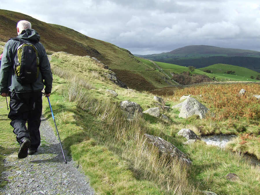
PThe sun finally came out as Paul takes to the path in Southerndale. Now its a simple gradient all the way back to the cars


Site Meter