Red Pike, High Stile and High Crag
Date 09/06/2003
Walk done by: Pam & Jed
Weather: Sunny periods. Breezes on the summits - otherwise warm
Distance 8.5 miles
Please press the REFRESH button on your browser if any pictures fail to load
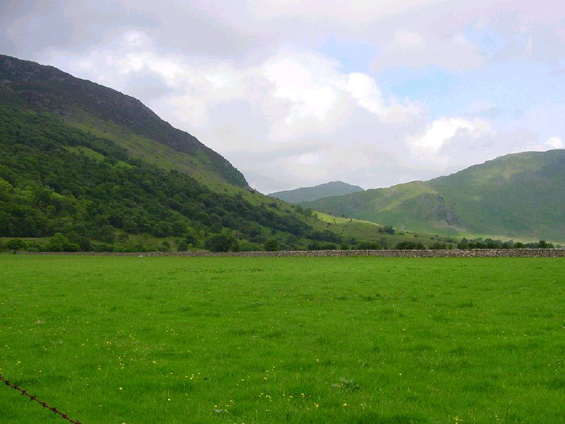
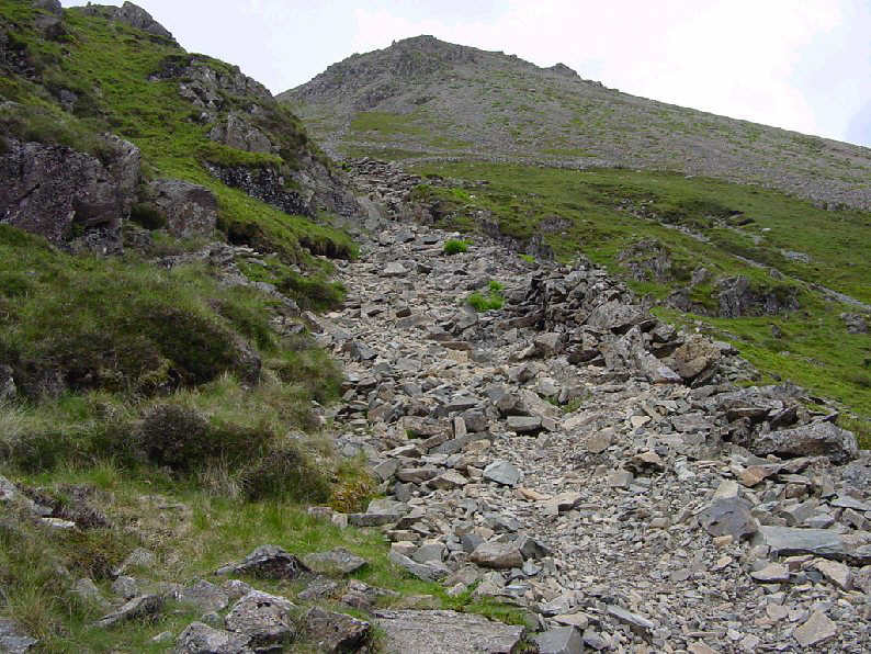
The dtart of the walk looking towards Scales.
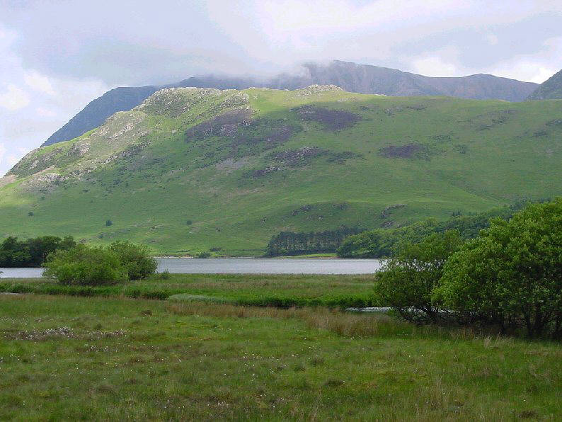
Crummock Water and beyond, Rannerdale Knotts and then Grasmoor in cloud
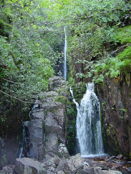
Scale Force
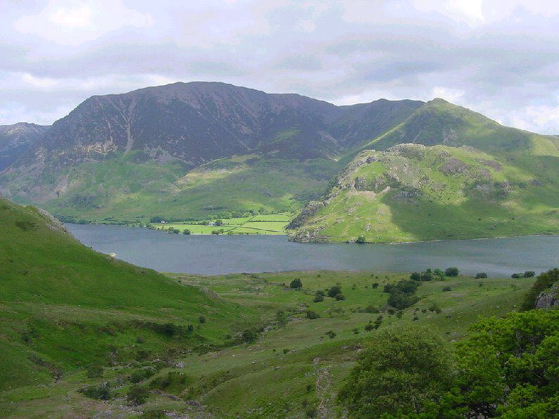
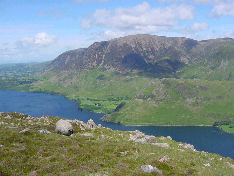
Crummock Water and Grasmoor
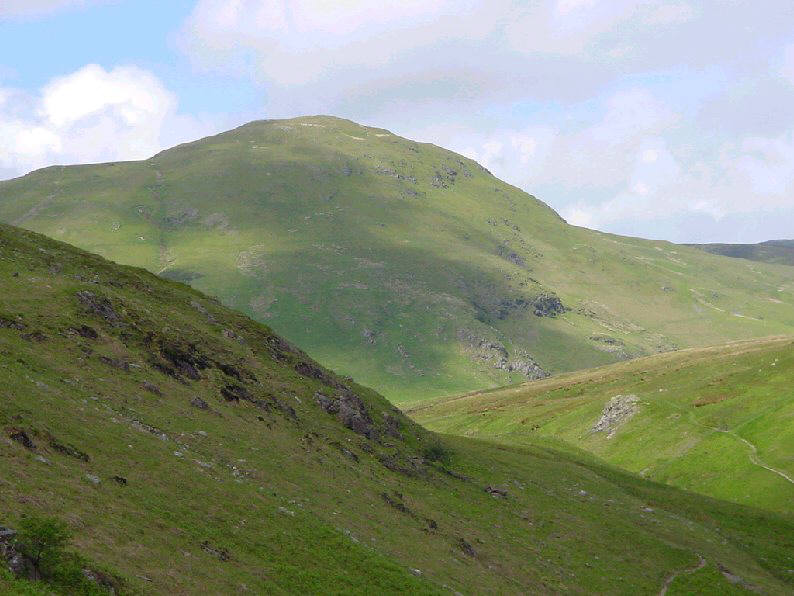
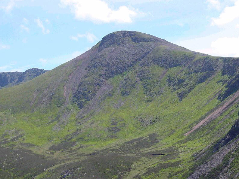
Hen Comb
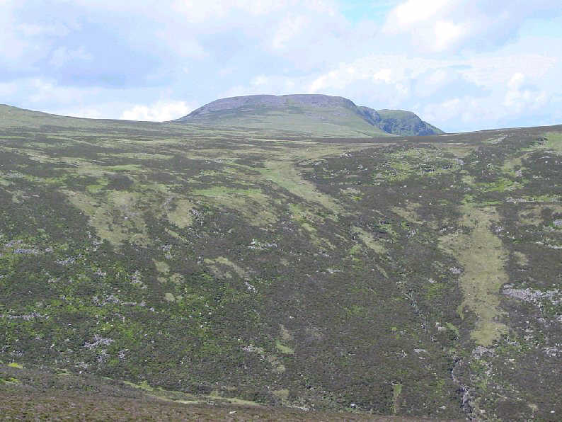
Starling Dodd
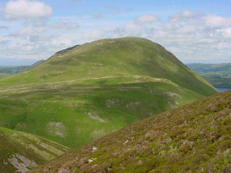
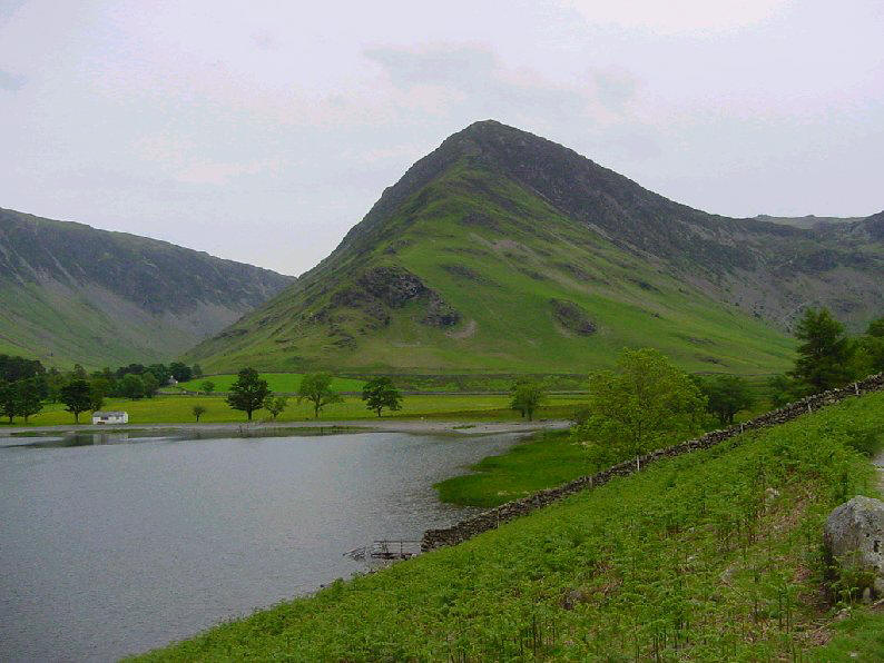
Mellbreak
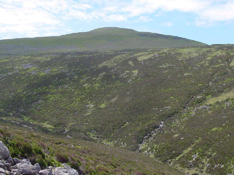
Great Borne
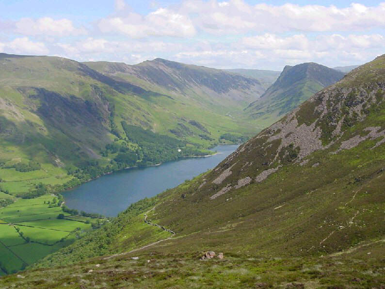
The first view of Buttermere from Lingcomb Edge
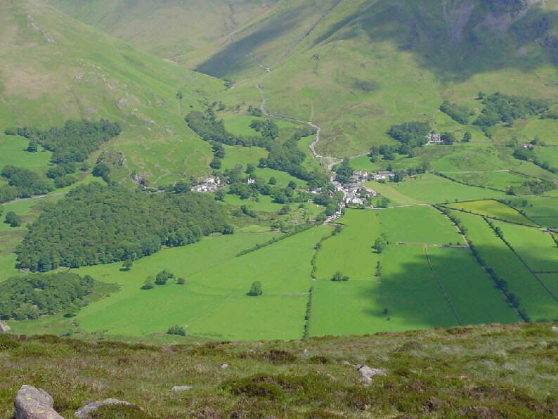
Buttermere Village from Lingcomb Edge
Red Pike towering above Ling Comb
Crummock Water and Grasmoor
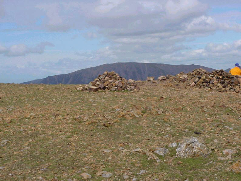
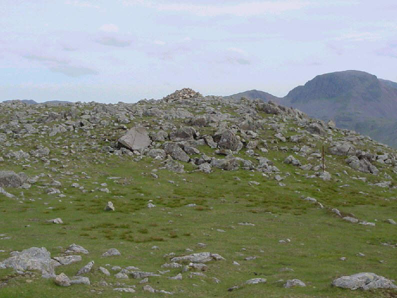
Red Pike summit
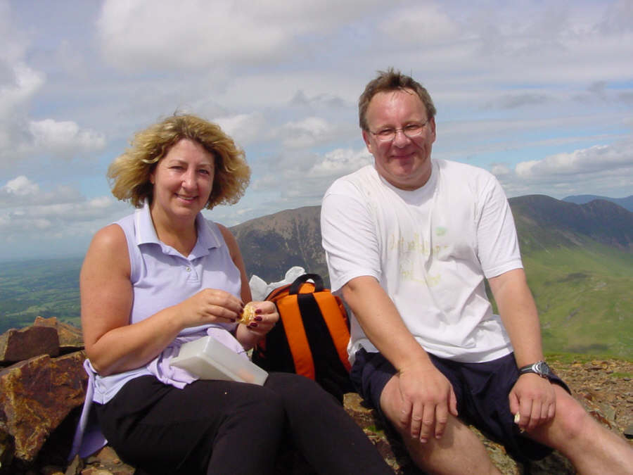
Pam and Jed on Red Pike Summit
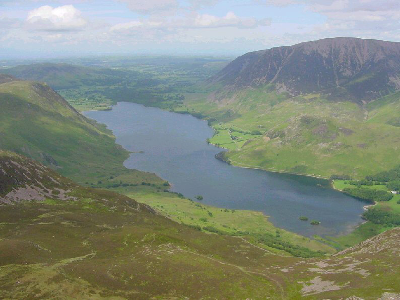
Crummock Water
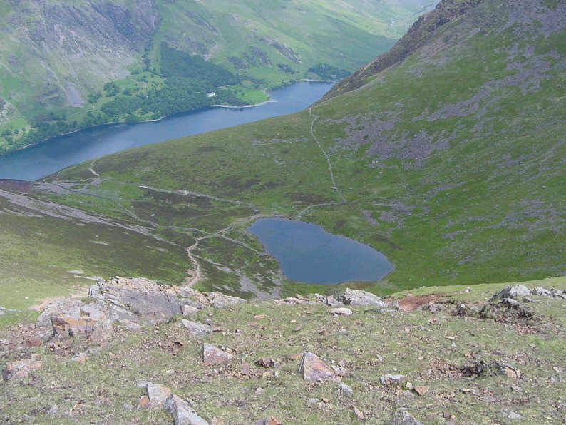
Bleaberry Tarn with Buttermere beyond
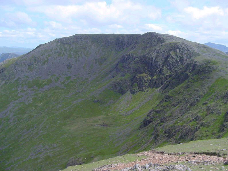
High Stile from Red Pike
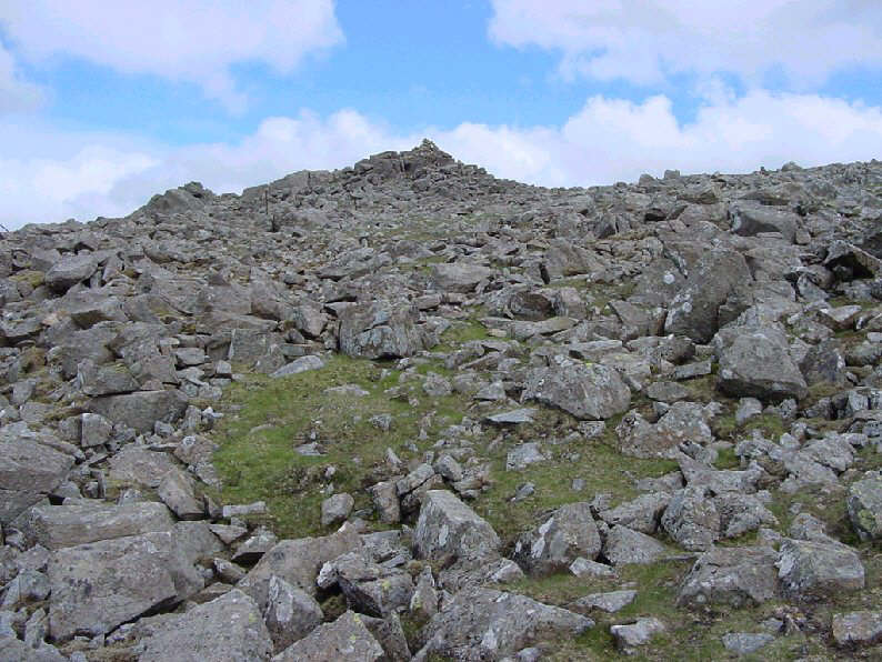
Approaching High Stile summit
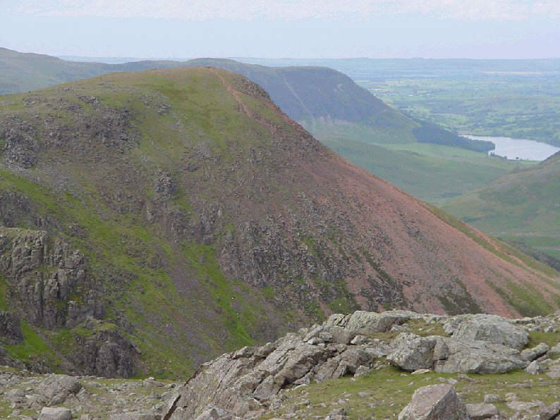
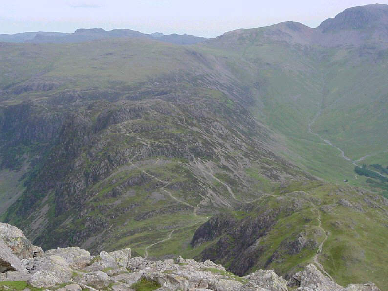
Red Pike from High Stile
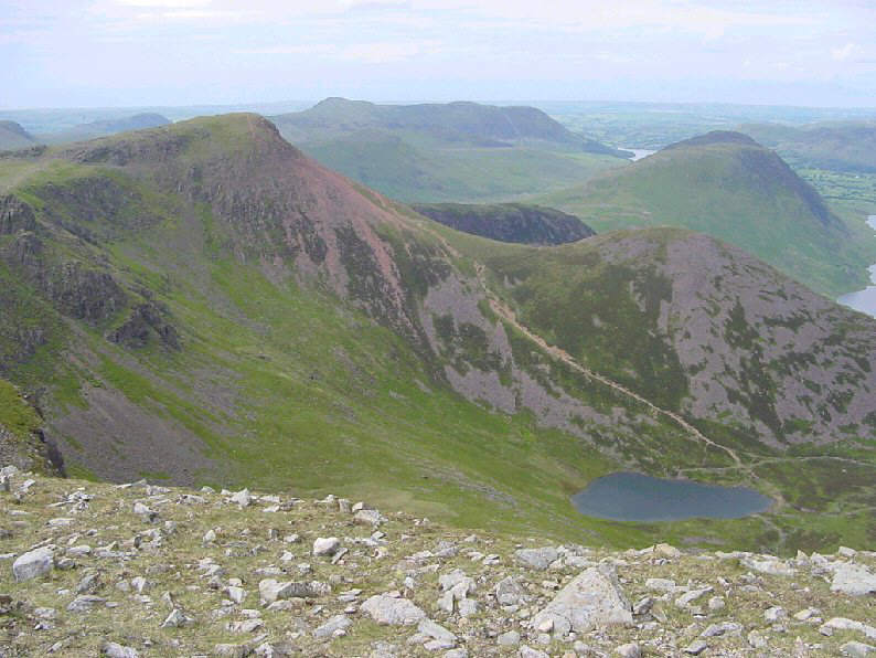
Red Pike with Bleaberry Tarn below

Fleetwith Pike from near High Stile
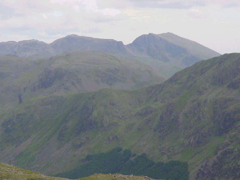
To the south - the Scawfells.
High Crag summit
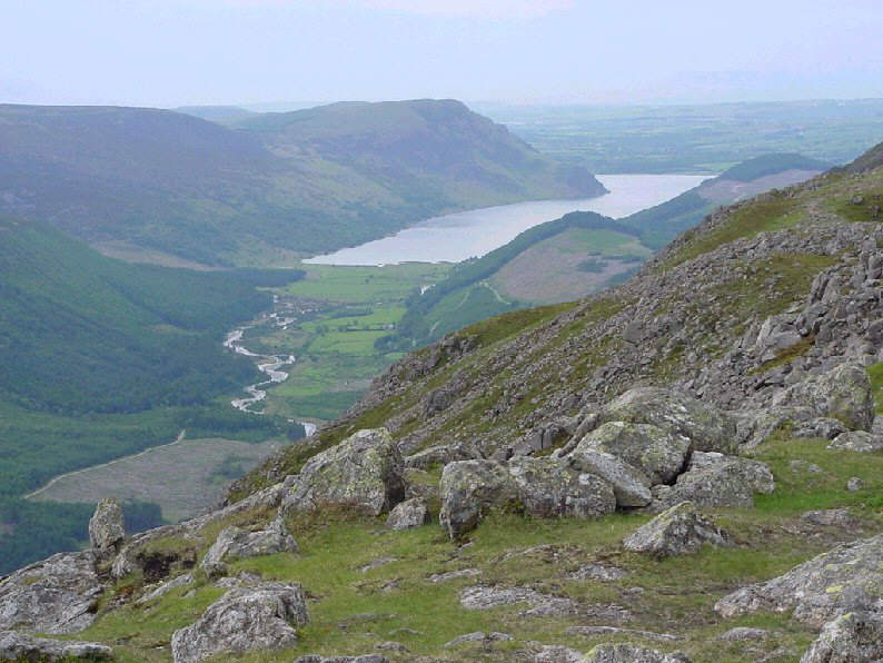
Ennerdale Water from High Crag summit
Looking down on Haystacks
Looking back at the steep descent of Gamlin End
Fleetwith Pike from Buttermere shore path
![]()