High Street, Rampsgill Head, High Raise & Kidsty Pike
Date 30/05/2004
Walks done by: Jed Susan, Pam & Paul.
Weather: Glorious after a cloudy start. Very warm
Distance 8.75 miles.
Started at: Mardale
Please press the REFRESH button on your browser if any pictures fail to load
Best viewed at 1024 x 768 resolution (or better)
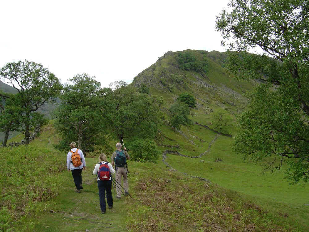
The start of the walk with the steep ascent to Rough Crag ahaead
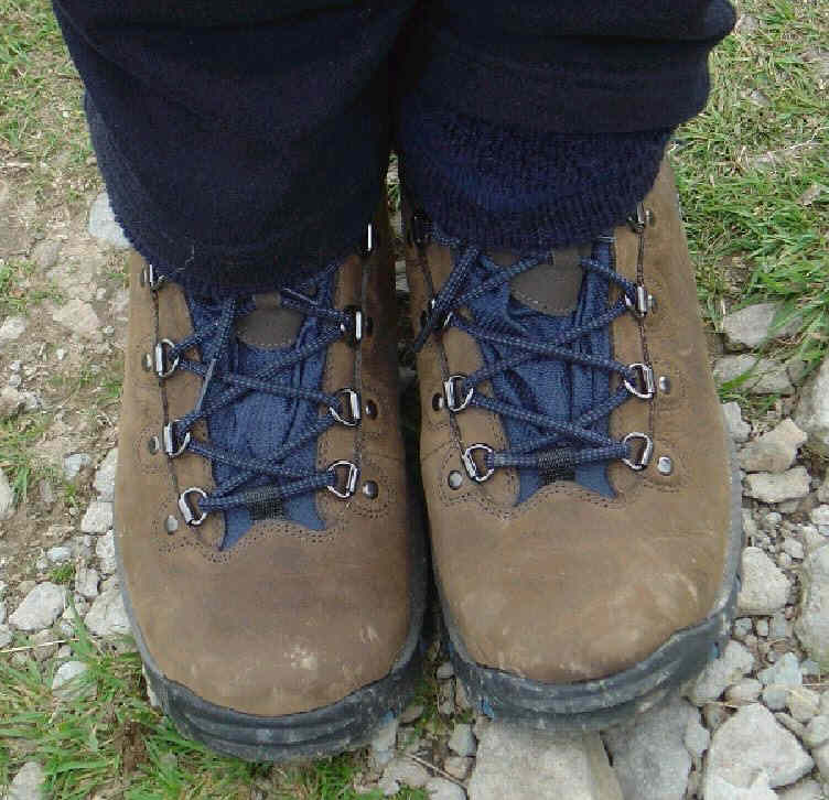
Pams new boots already marked
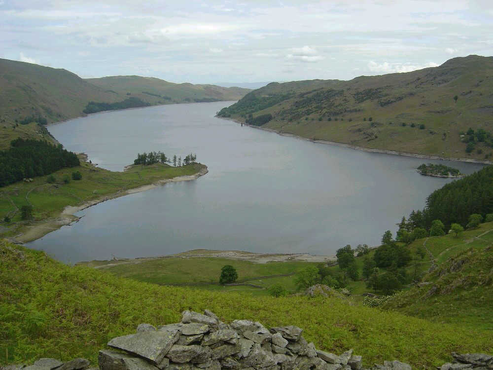
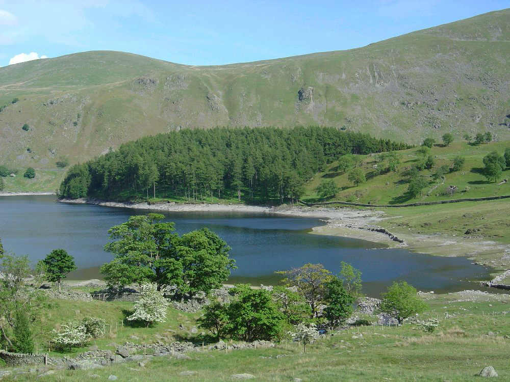
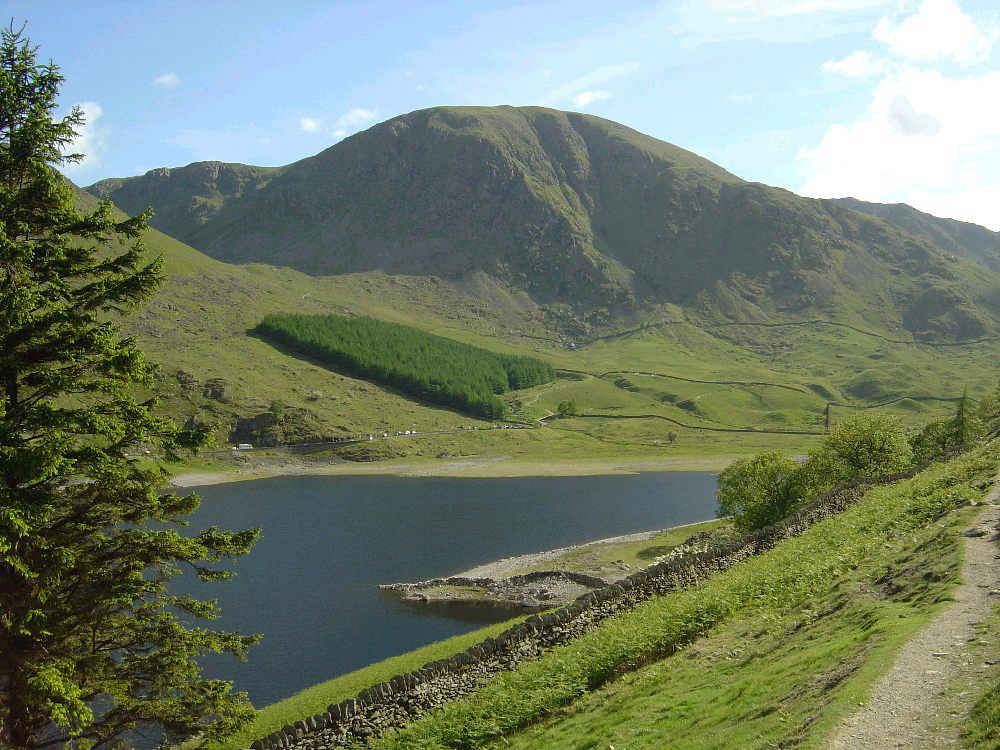
Haweswater from near Swine Crag
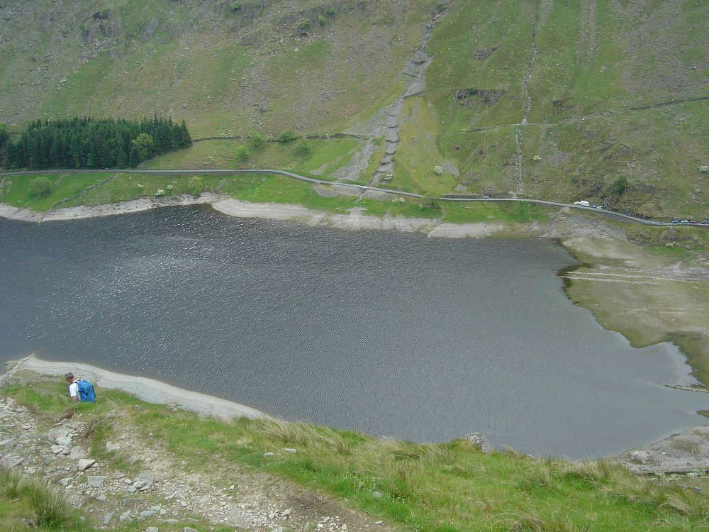
Looking down on Haweswater
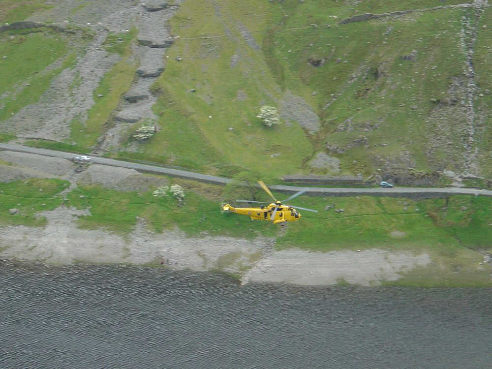
...and then the Air Sea Rescue Helicopter flew below us
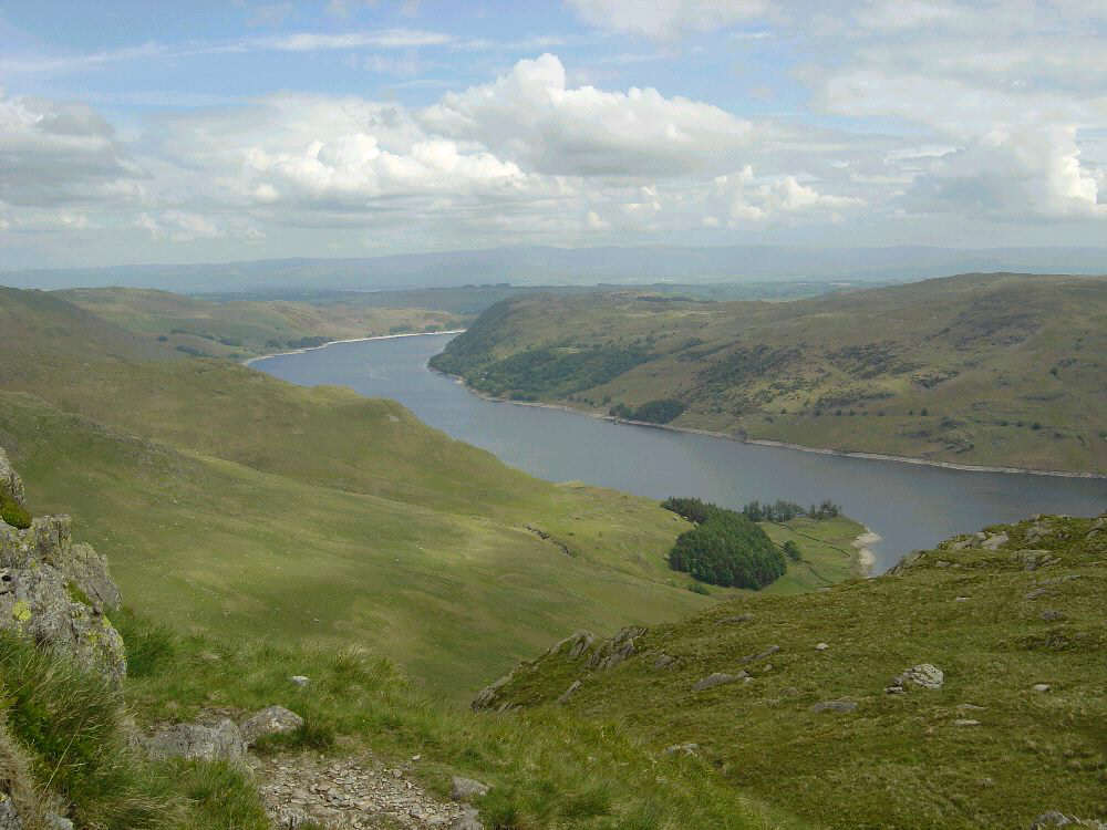
Looking back on Haweswater from near Eagle Crag
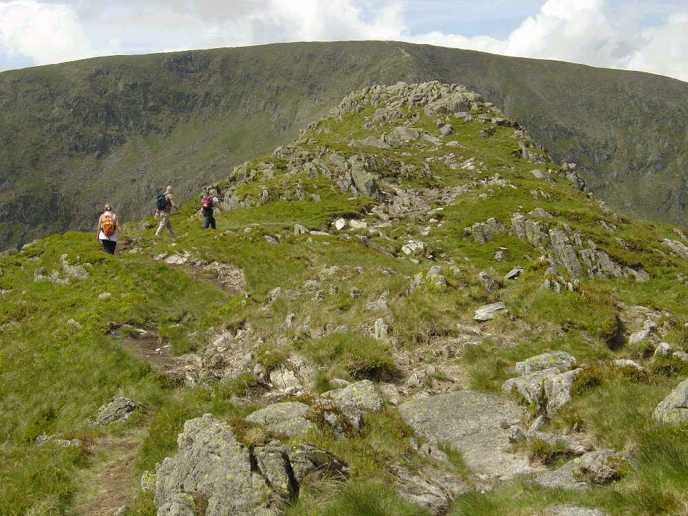
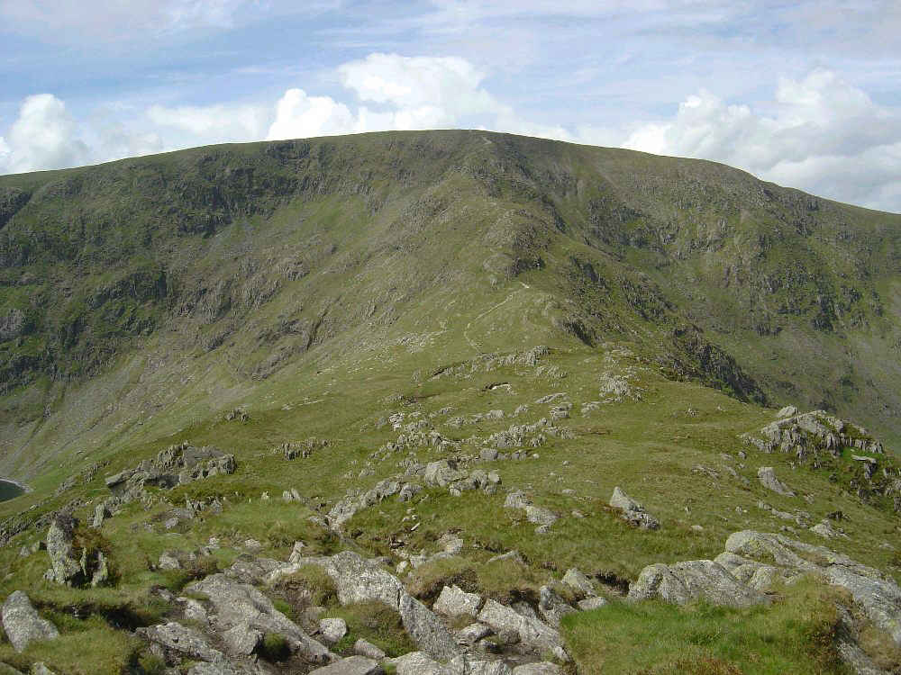
Approaching Rough Crag summit with High Street beyond
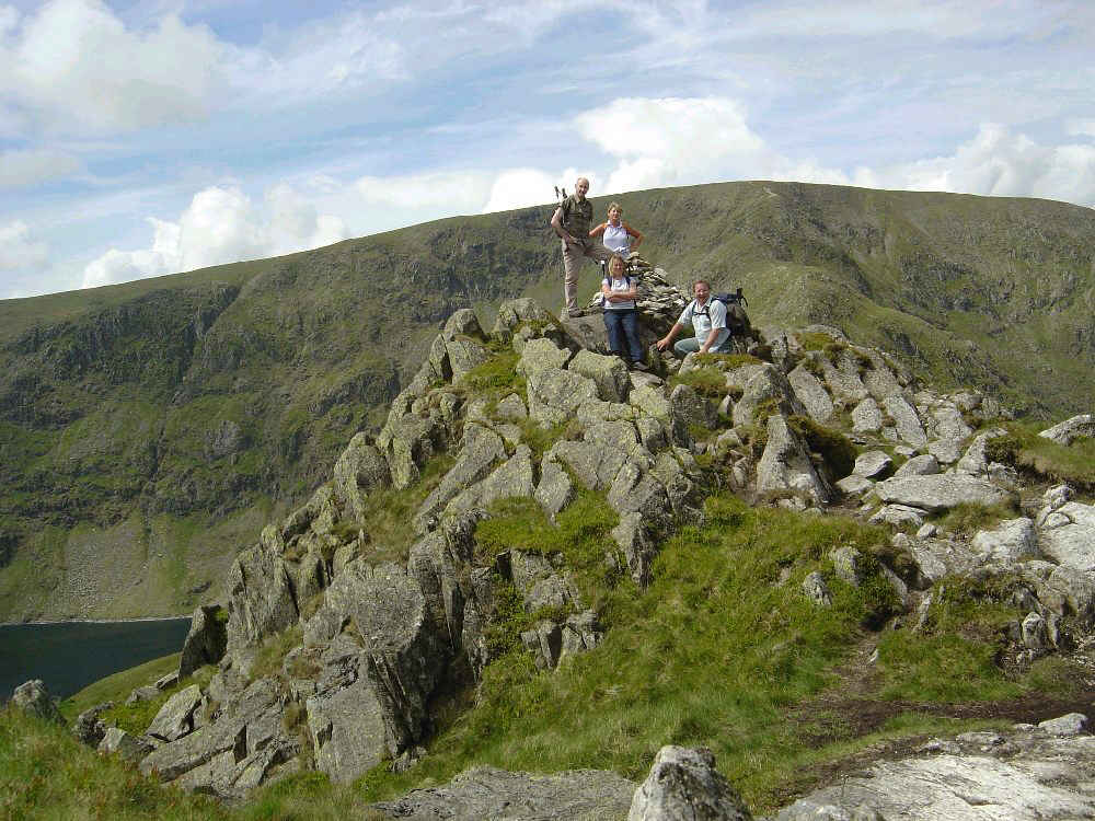
Rough Crag summit. Blea Water to the left.
Looking towards Long Stile from Rough Crag summit
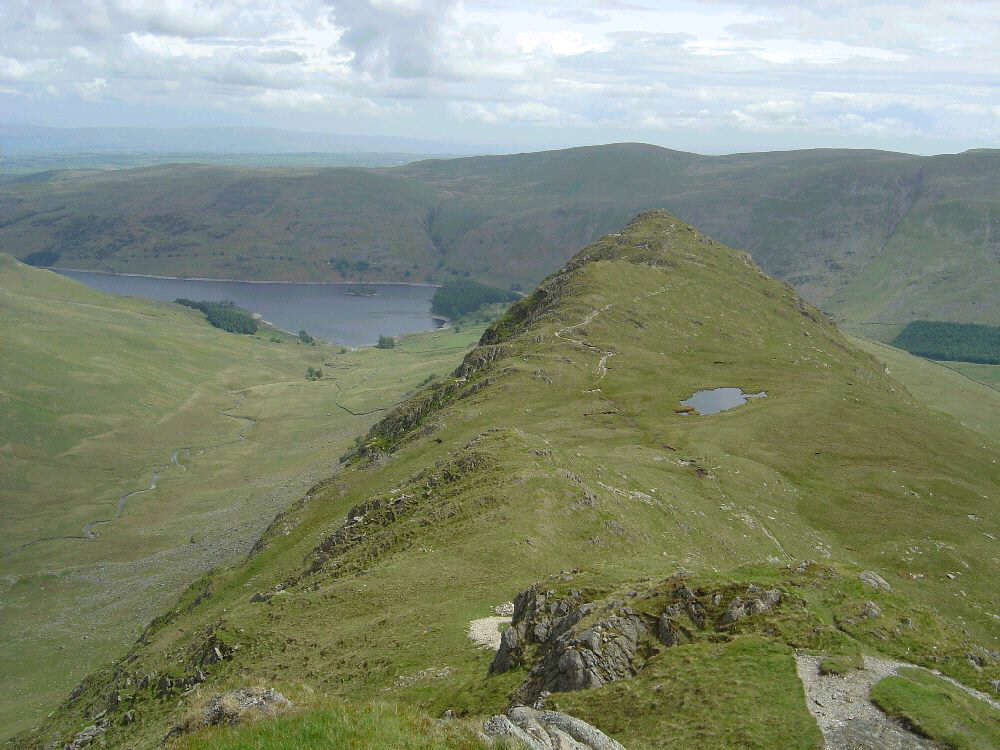
Looking back along the Rough Crag ridge from part way up Long Stile
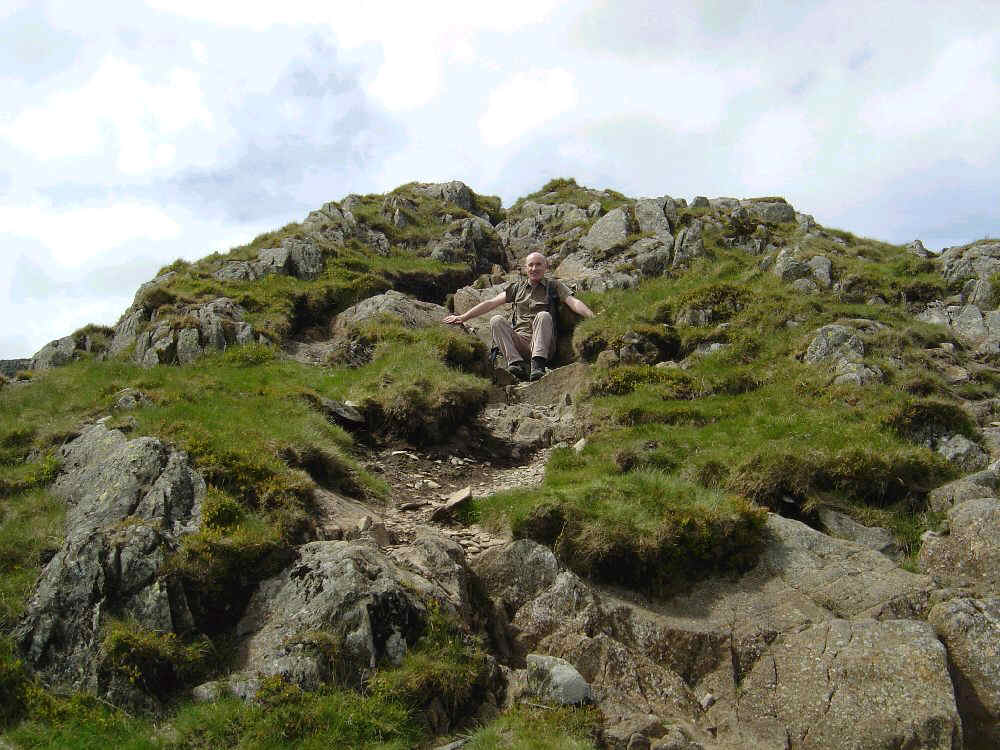
Paul takes a rest on Long Stile
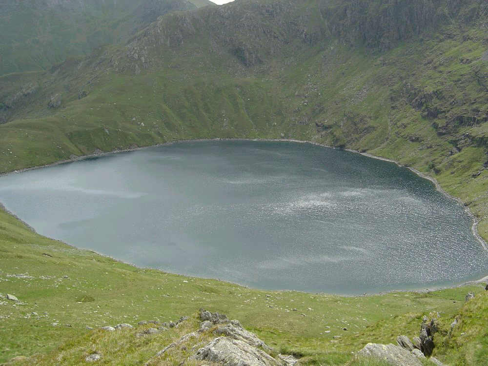
Blea Water from Long Stile
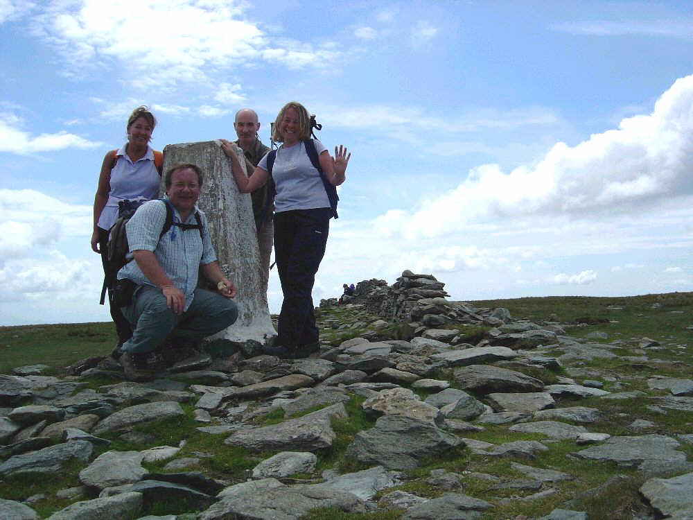
High Street summit
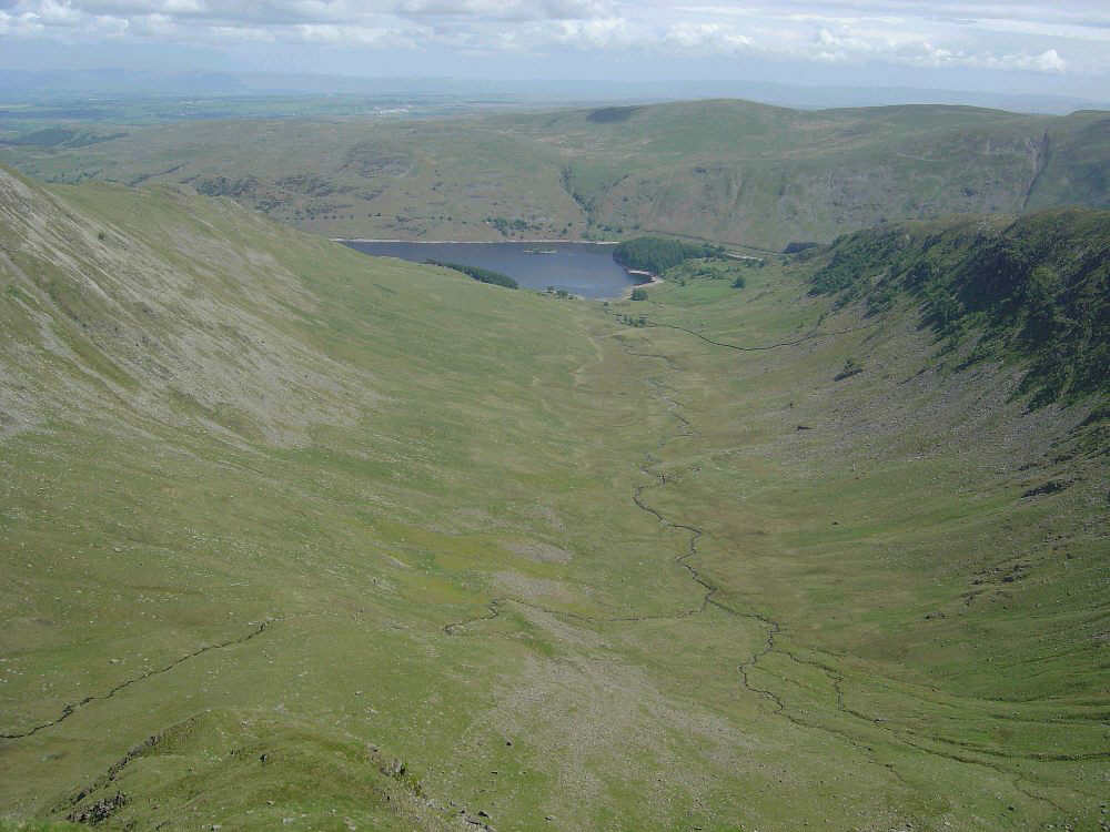
Looking down Riggindale from the top of Short Stile
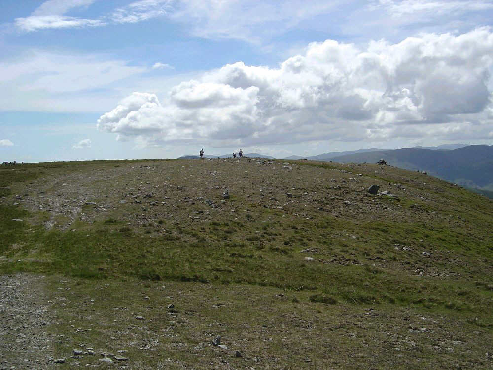
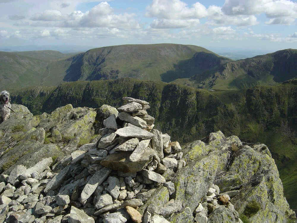
Rampsgill Head summit
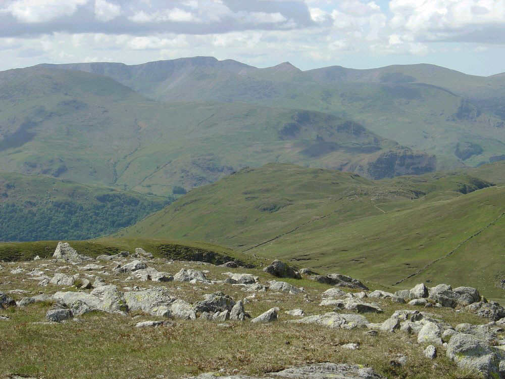
The Helvellyn Range from near Rampsgill Head summit
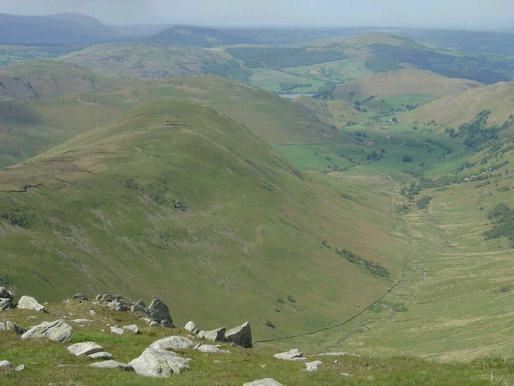
Looking down on The Nab and Ramps Gill
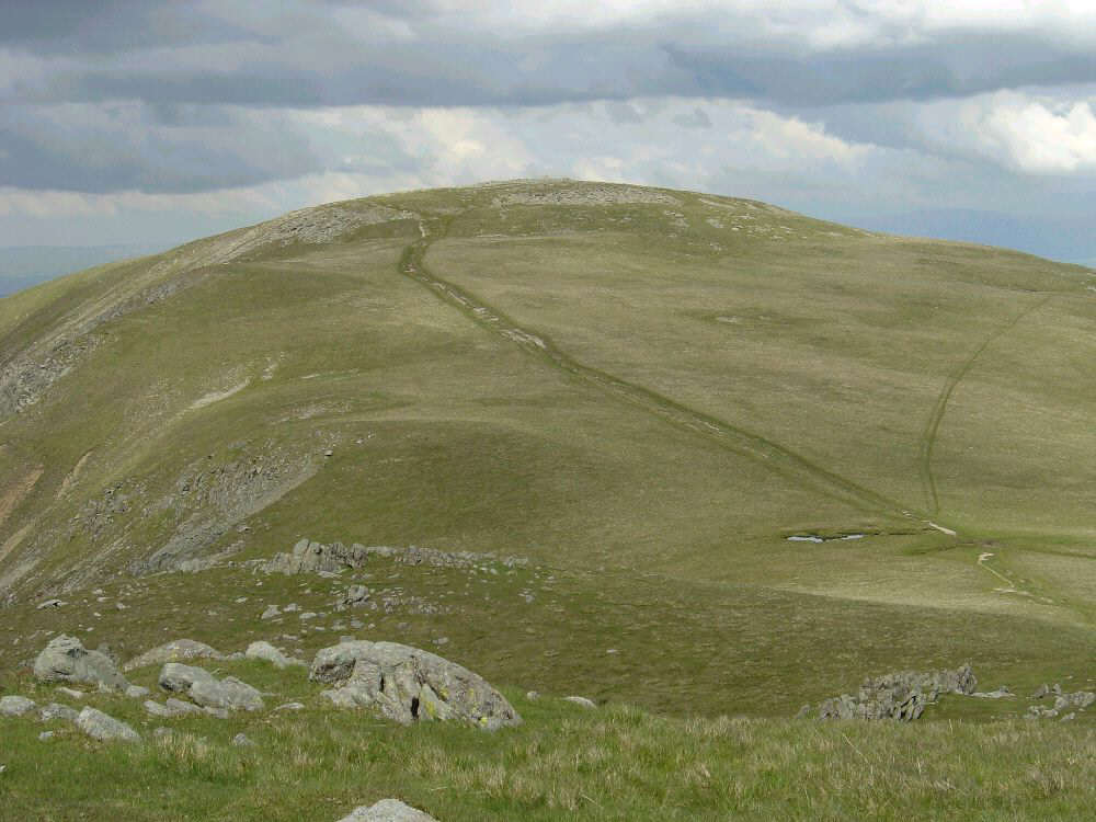
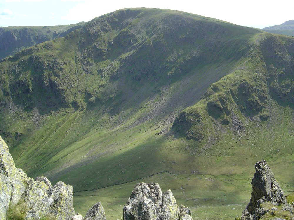
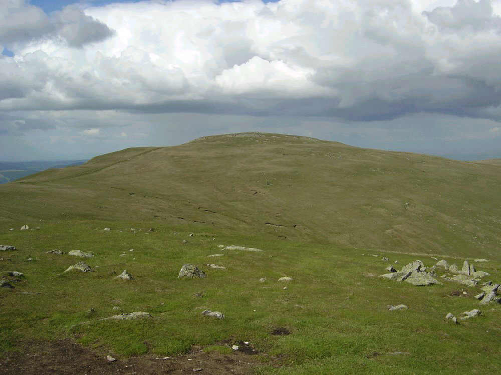
High Raise from the slopes of Ramsgill Head
Looking West from High Raise towards Helvellyn with a group of cyclists in front of the dark green summit of Rest Dodd
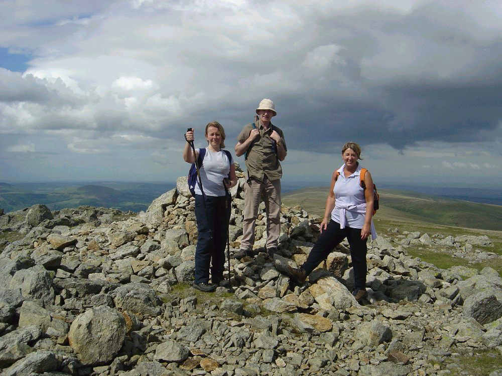
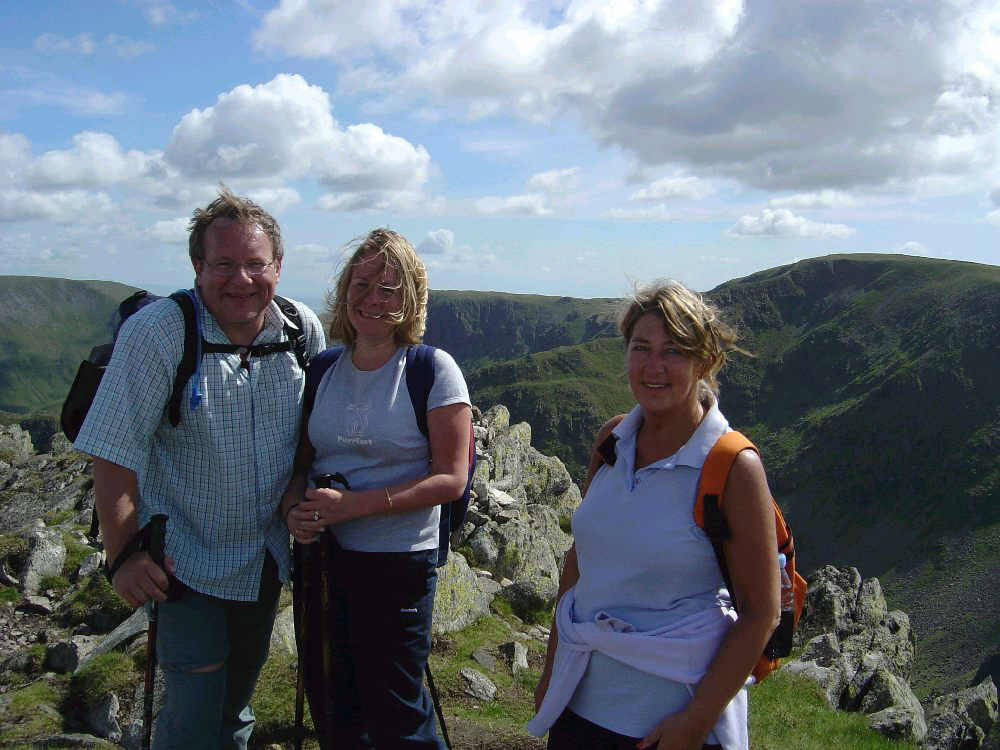
Susan, Paul and pam on High Raise
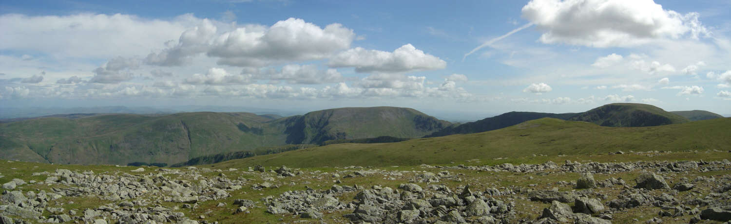
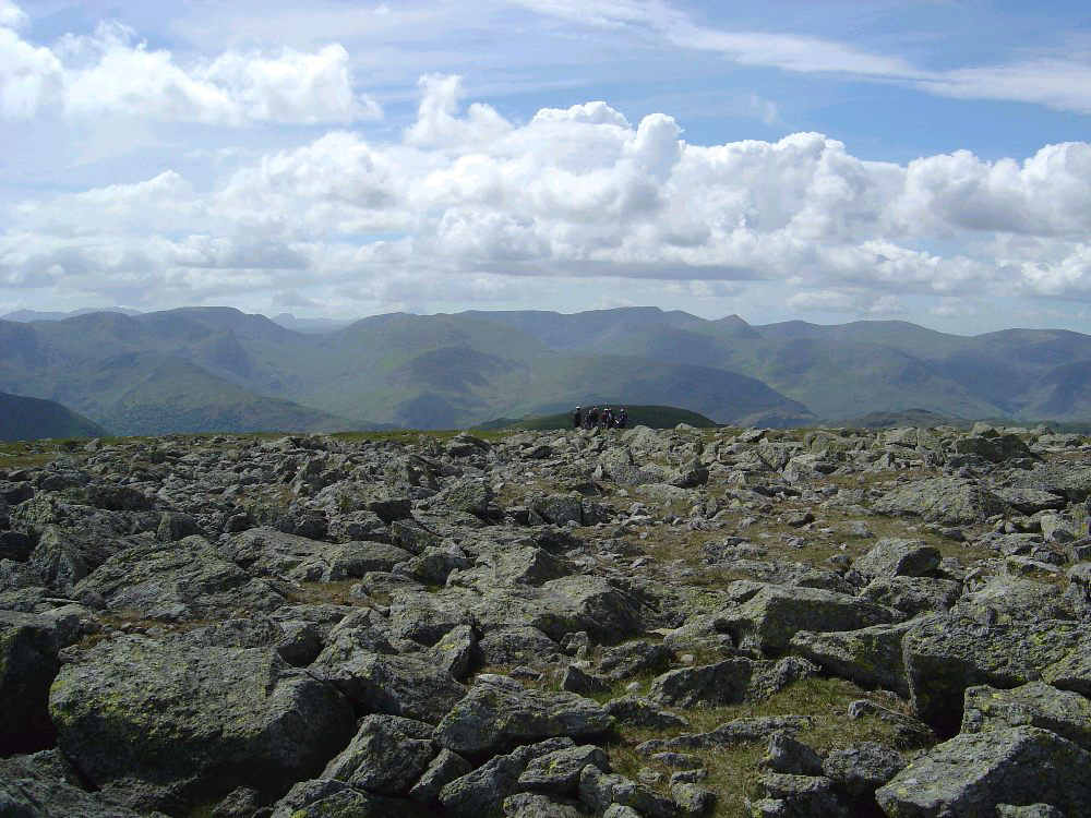
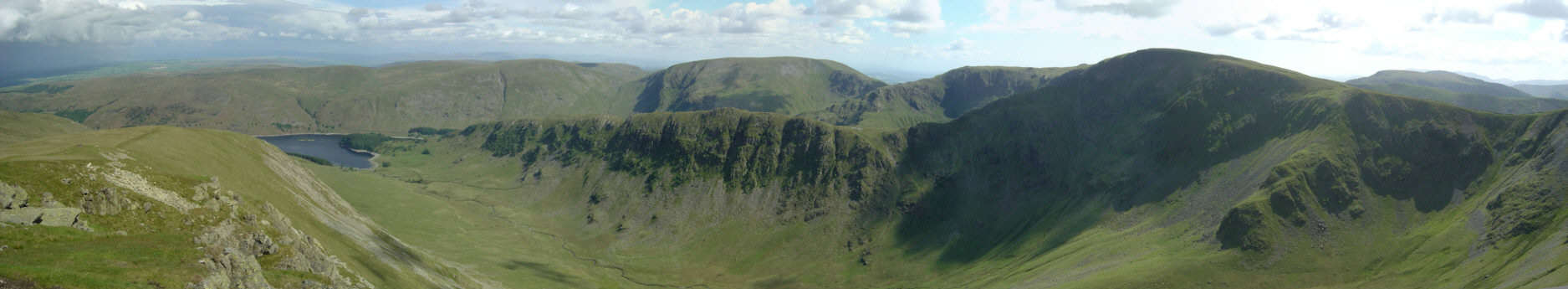
Panoramic shot from High Raise
High Street from Kidsty Pike
Kidsty Pike summit with Gatescarth Pass (l) Harter Fell (c) and Nan Bield Pass (r)
Jed, Susan and Pam on Kidsty Pike summit
180° from Kidsty Pike
Looking back to High Raise from Kidsty Pike
The Rigg from the lower slopes of Kidsty Howes
Harter Fell from near the Rigg
.. and another shot from a little nearer
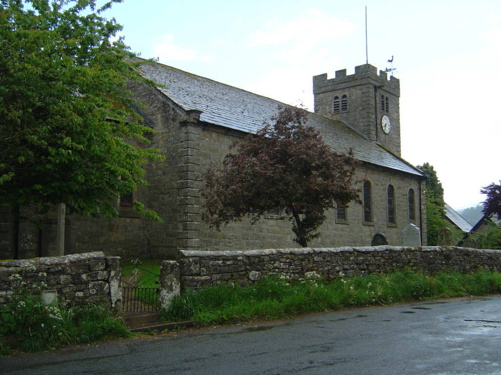
The church at Bampton Grange from the Crown. (Very good food at the Crown -unlike at the Haweswater Hotel were there was none)
![]()