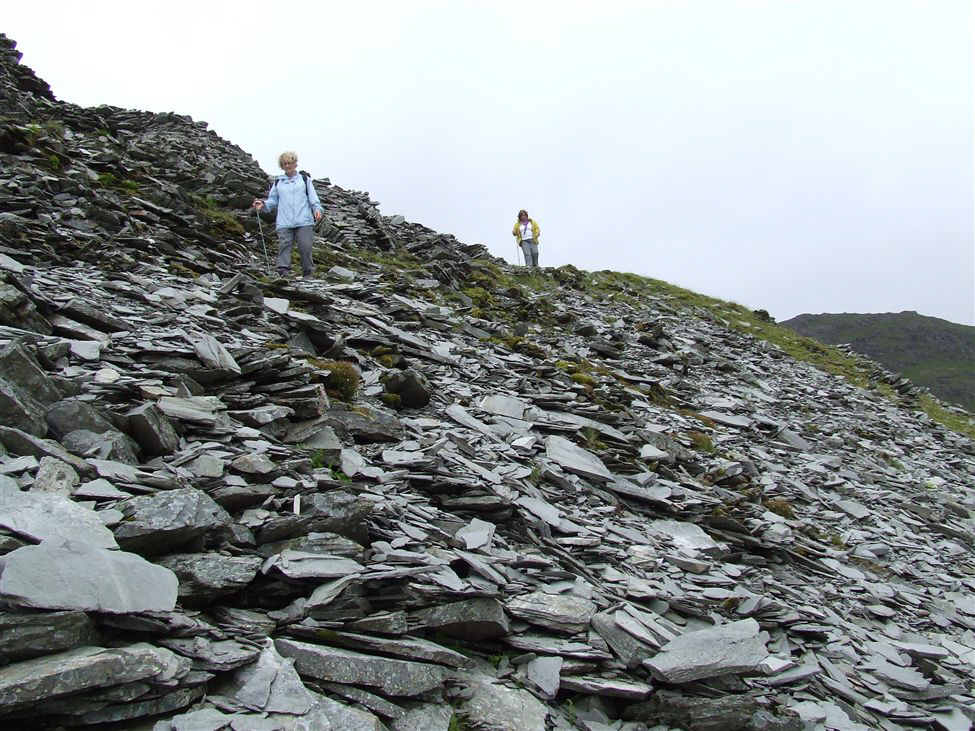
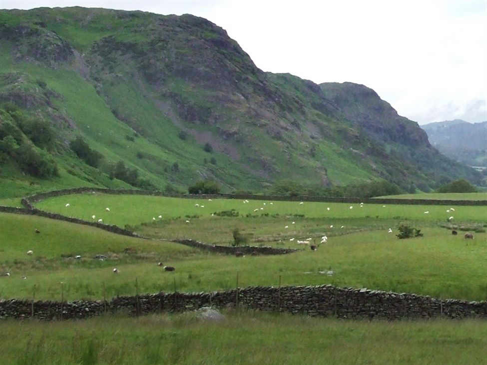
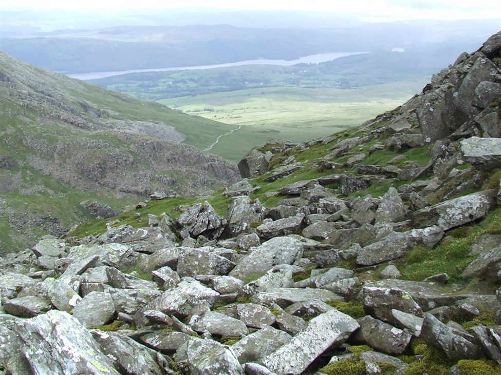
View looking east from the Walna Scar Road minutes after leaving the Sun Hotel
Another view of the Coniston fells from Walna Scar Road
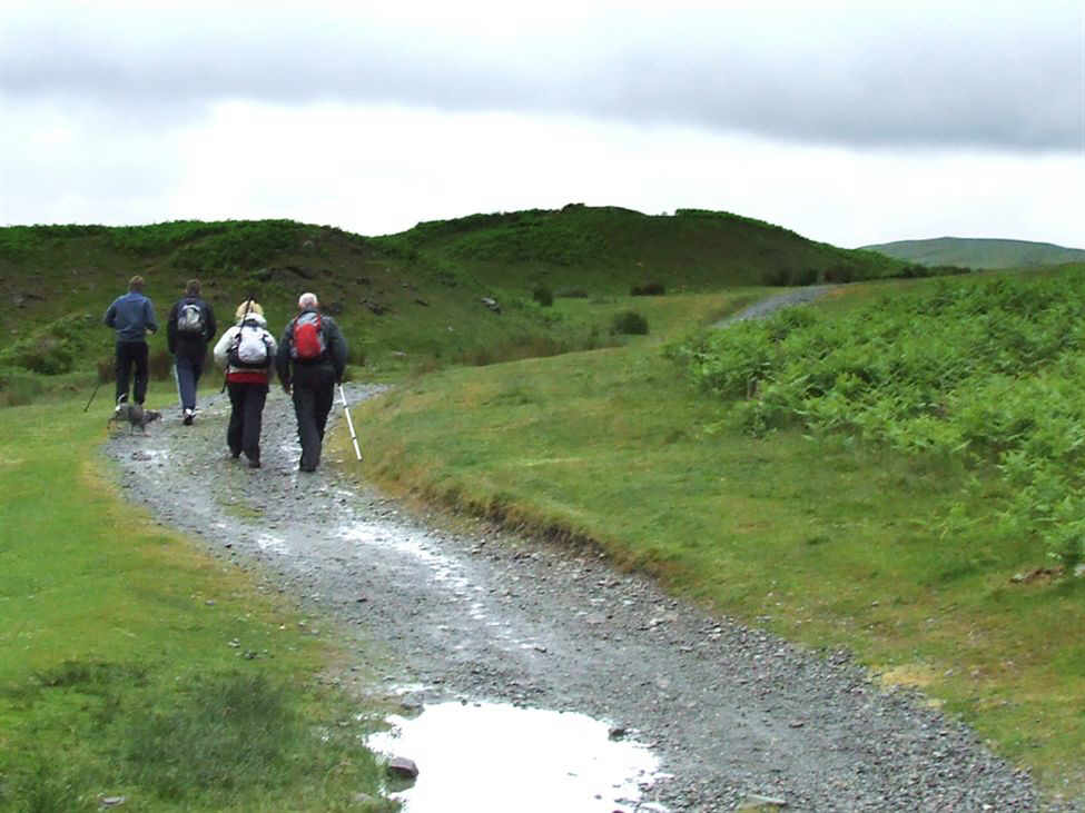
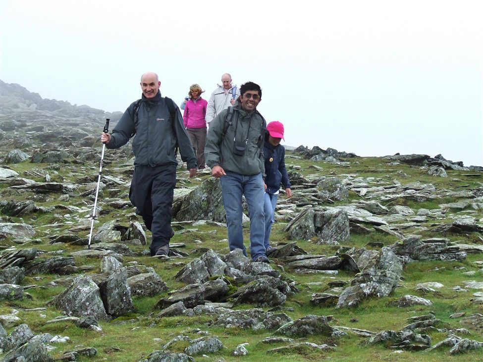
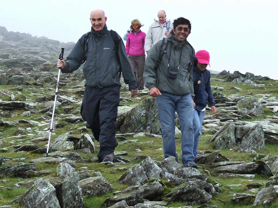
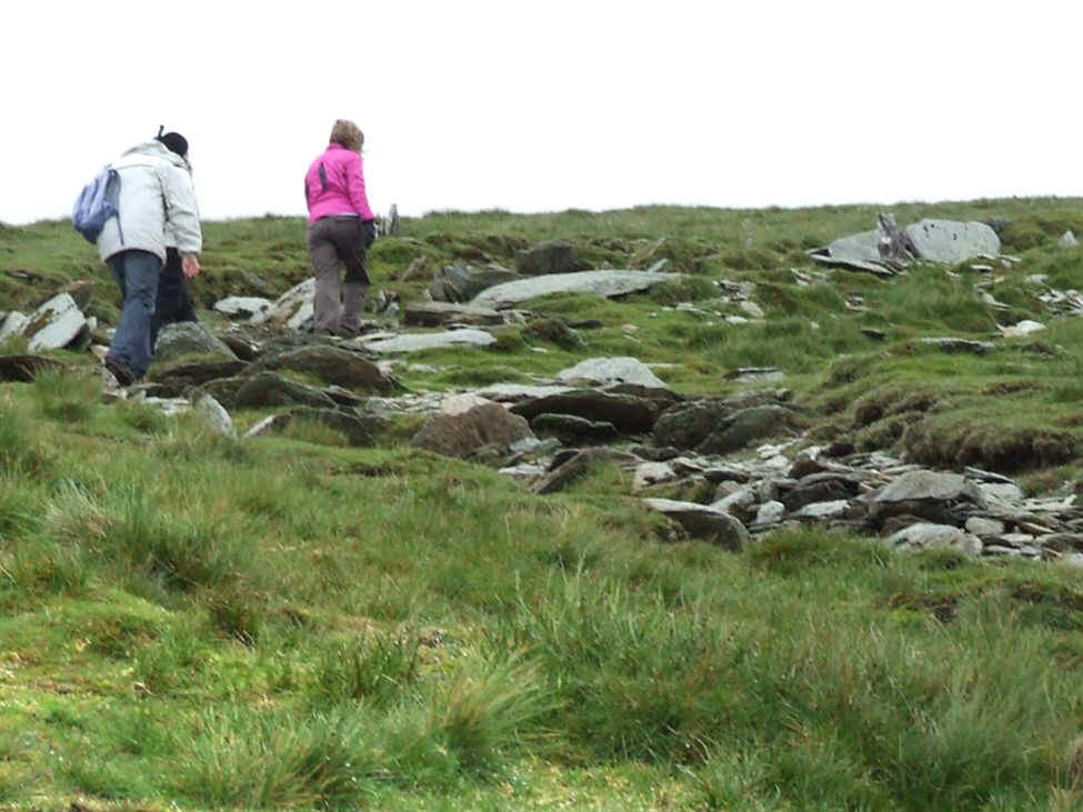
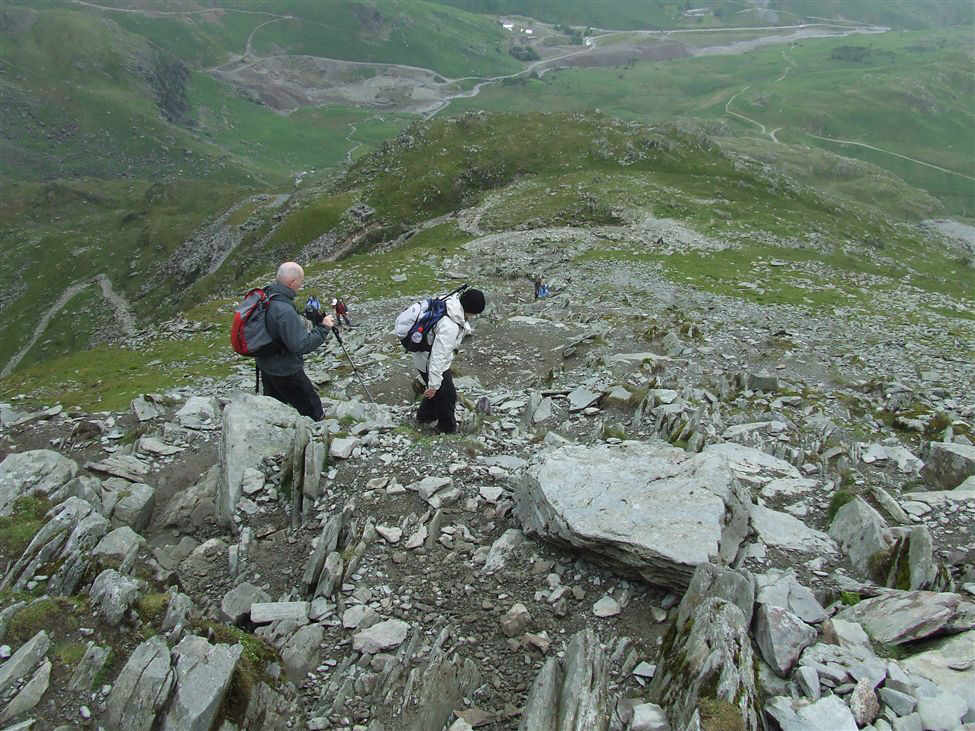
Jack, Sam, Ruby, Meg and Paul on Walna Scar Road
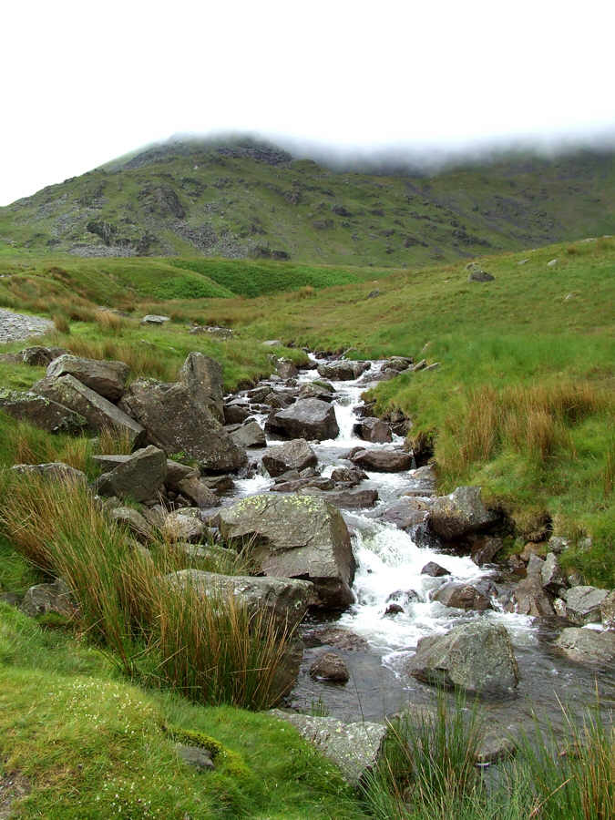
The beck above Cove Bridge
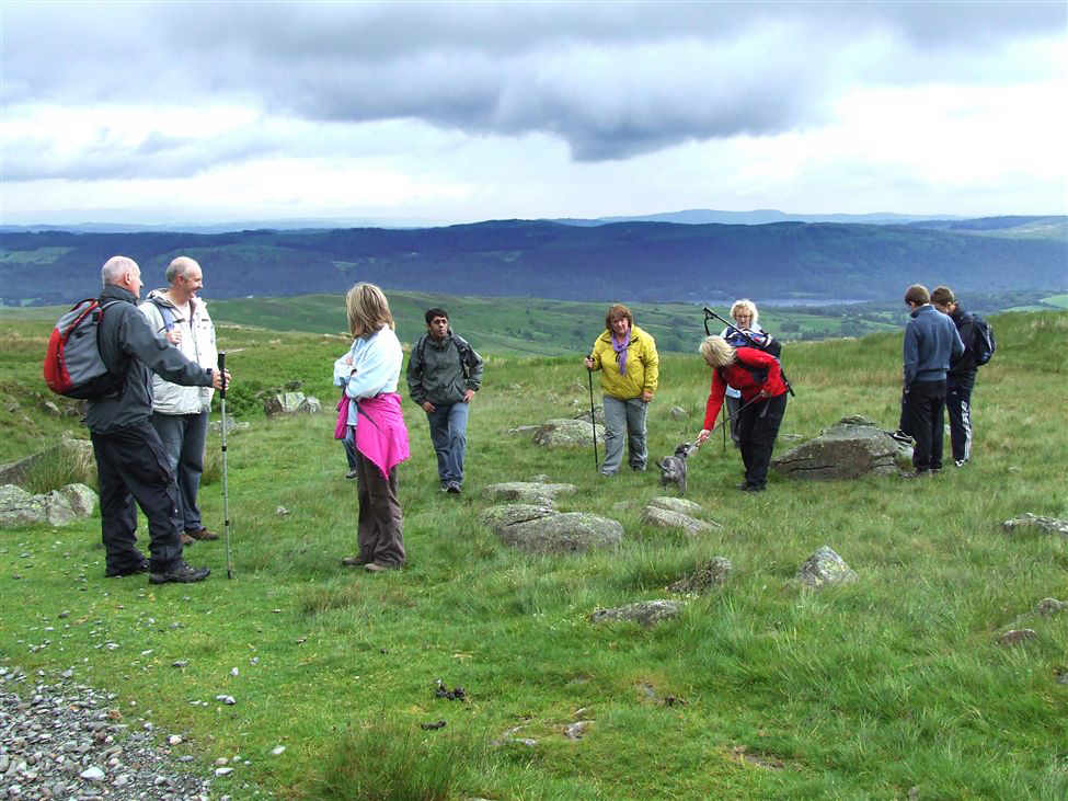
Lunch was taken at Cove Bridge. Here we are ready to set off.
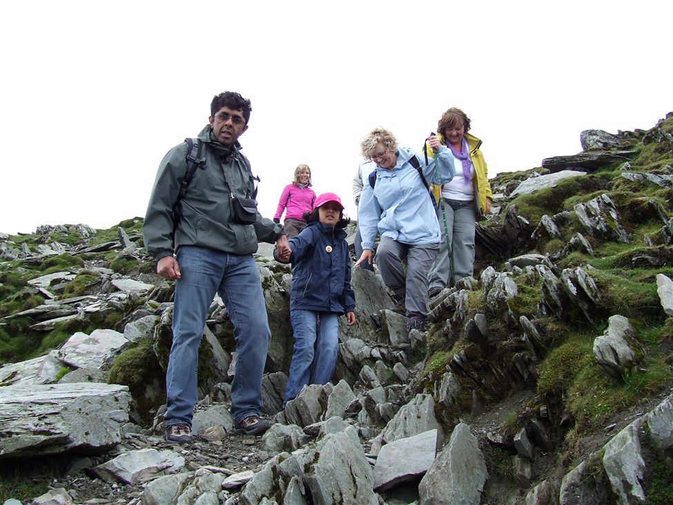
In view are Paul, Paul, Pam with Hanna behind her, Naeem, Ceri, Ruby Susan, Meg, Jack and Sam
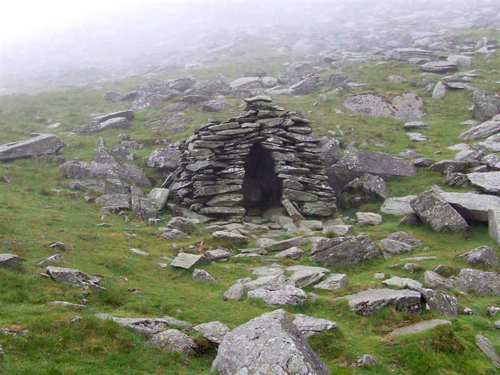
The shelter near the top of the Walna Scar Road. Wainwright said of it, "Just big enough for one, or a honeymoon couple".
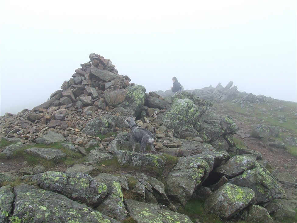
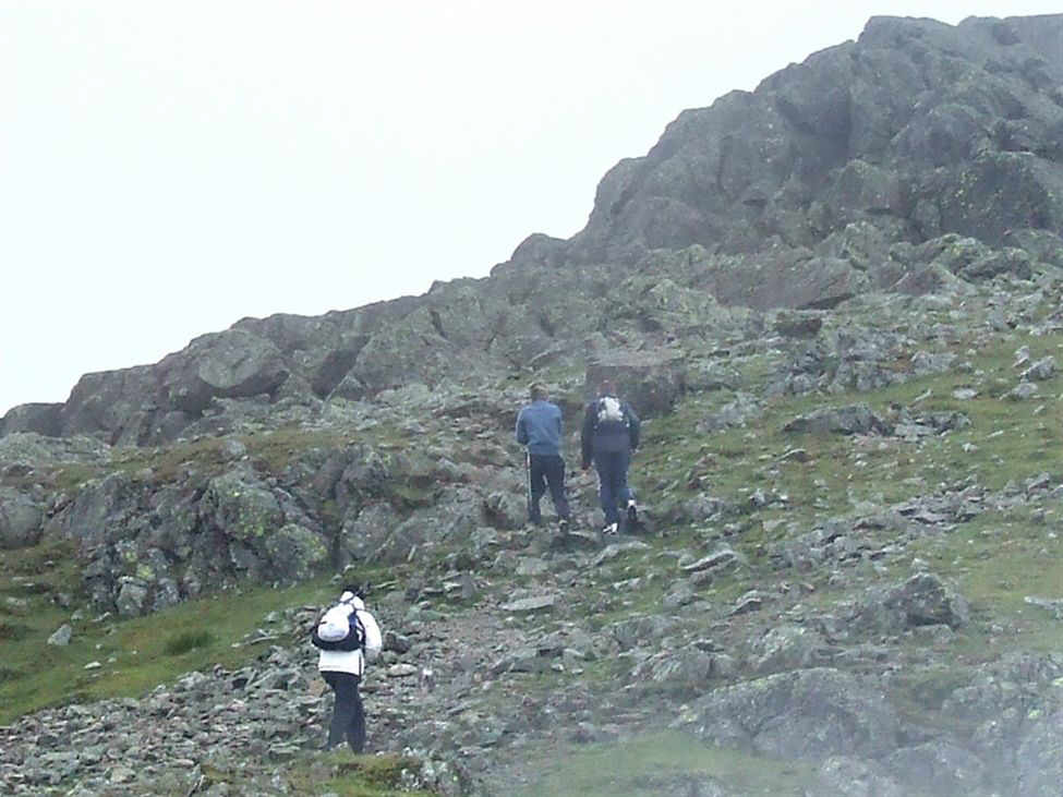
Jack, Paul, Ruby, Ceri, Susan and Sam on Brown Pike summit
Jack, Paul and Ruby on Brown Pike
Sam and Paul on Brown Pike
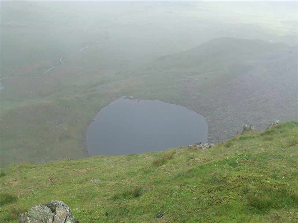
Shortly after leaving Brown Pike gaps in the cloud started to appear. Blind Tarn, at the foot of Brown Pike was first to appear. Blind Tarn gets its name from the fact that it is only one of a very few number of tarns that have no outflow.
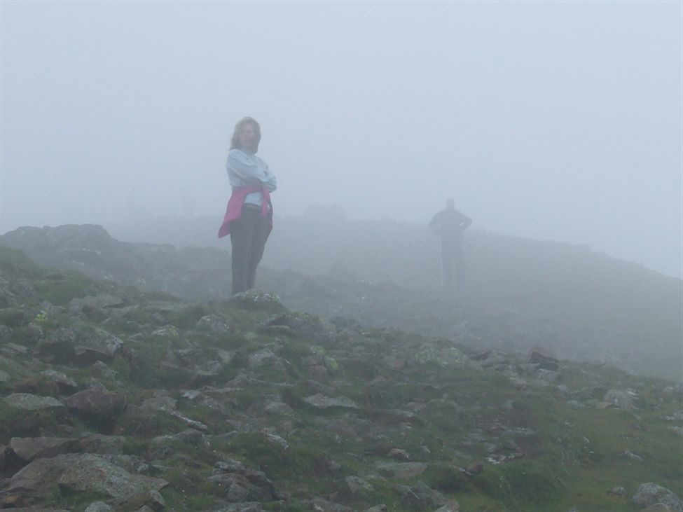
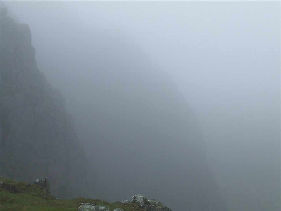
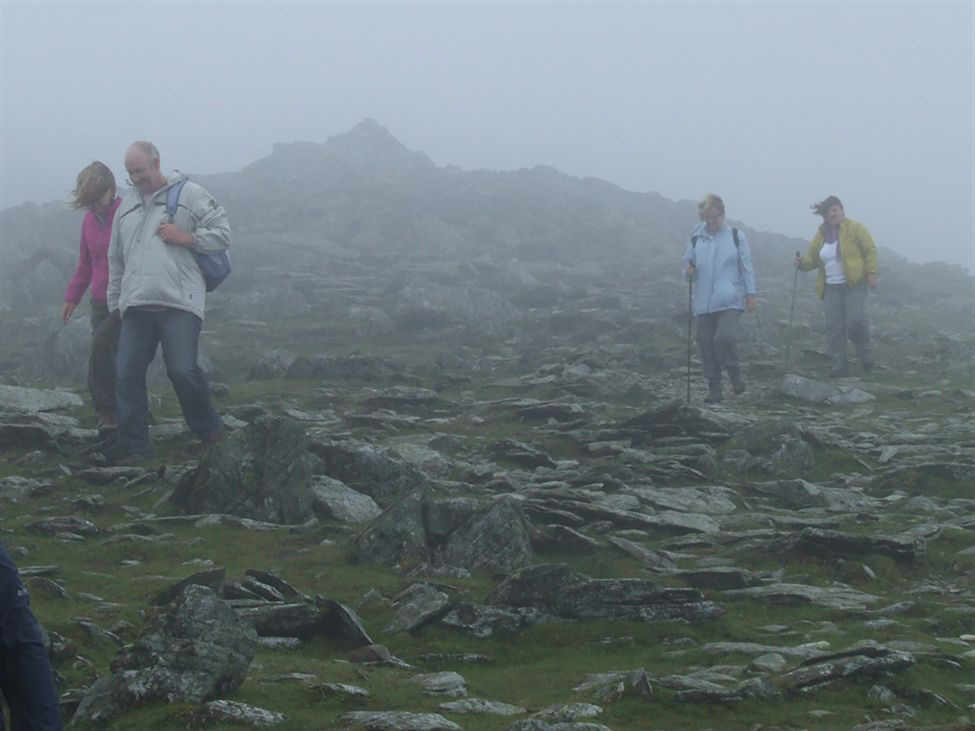
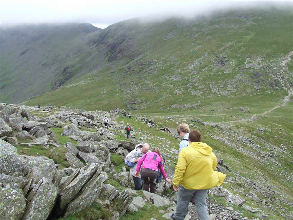
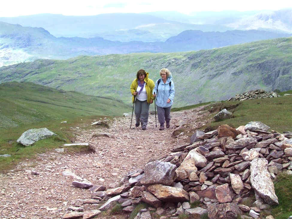
But the cloud was still there. Here are Pam and Paul in the mist waiting for the rest of us to catch up
Ruby at Buck Pike, There's still mist around but there are signs of improving weather
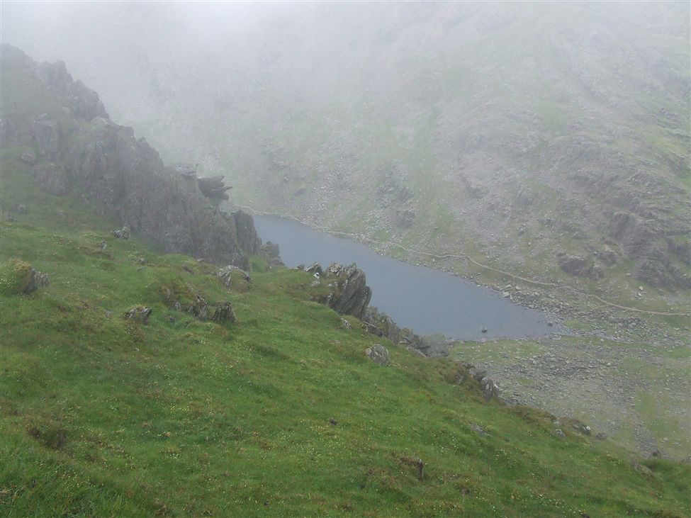
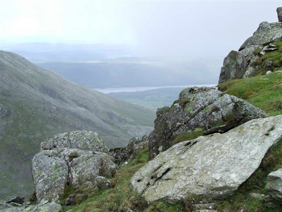
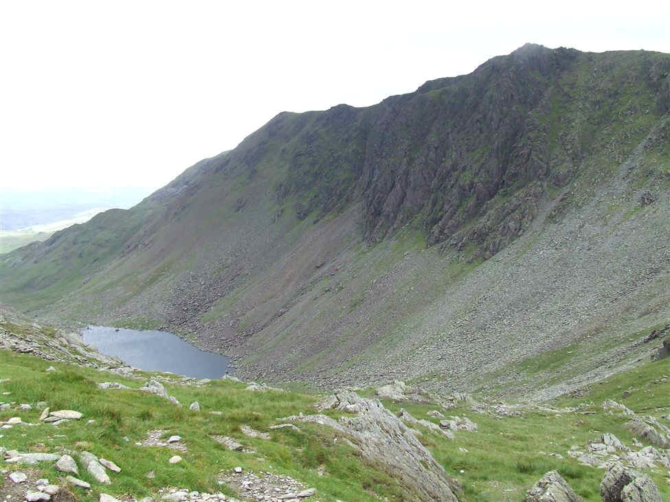
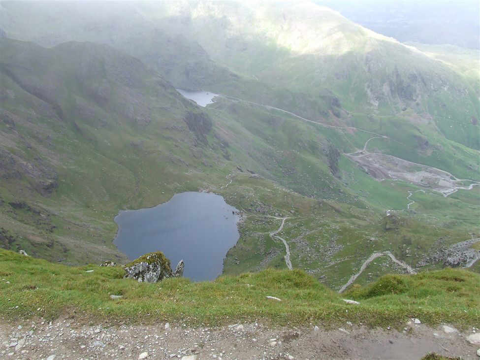
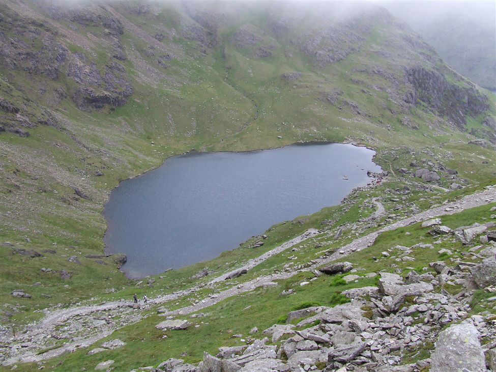
..and there is Goats Water
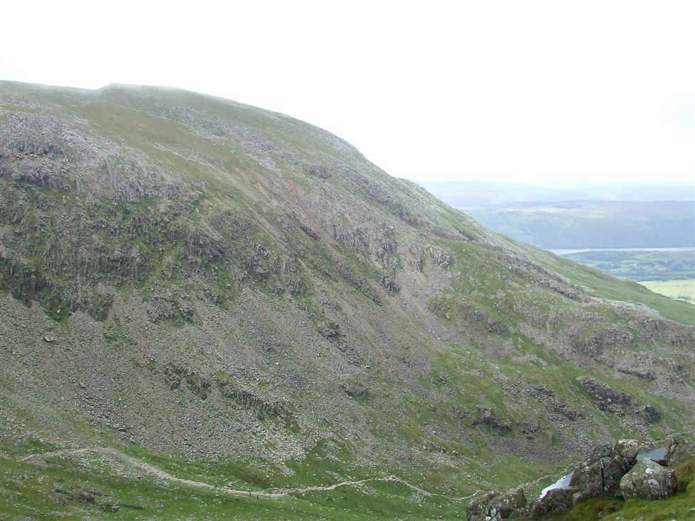
Suddenly appearing in the murk was the steep rock face of Dow Crag
Jack, Sam and Paul attempt to reach the suspended stone slab
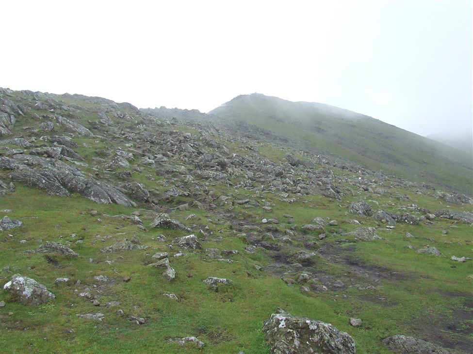
And around the same time, the whole ridge suddenly appeared out of nowhere
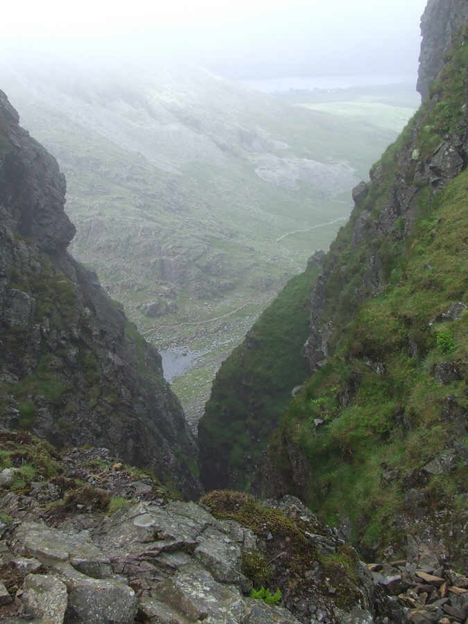
Looking down Great Gully
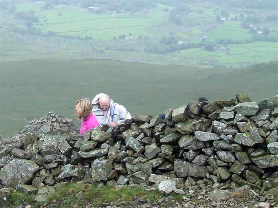
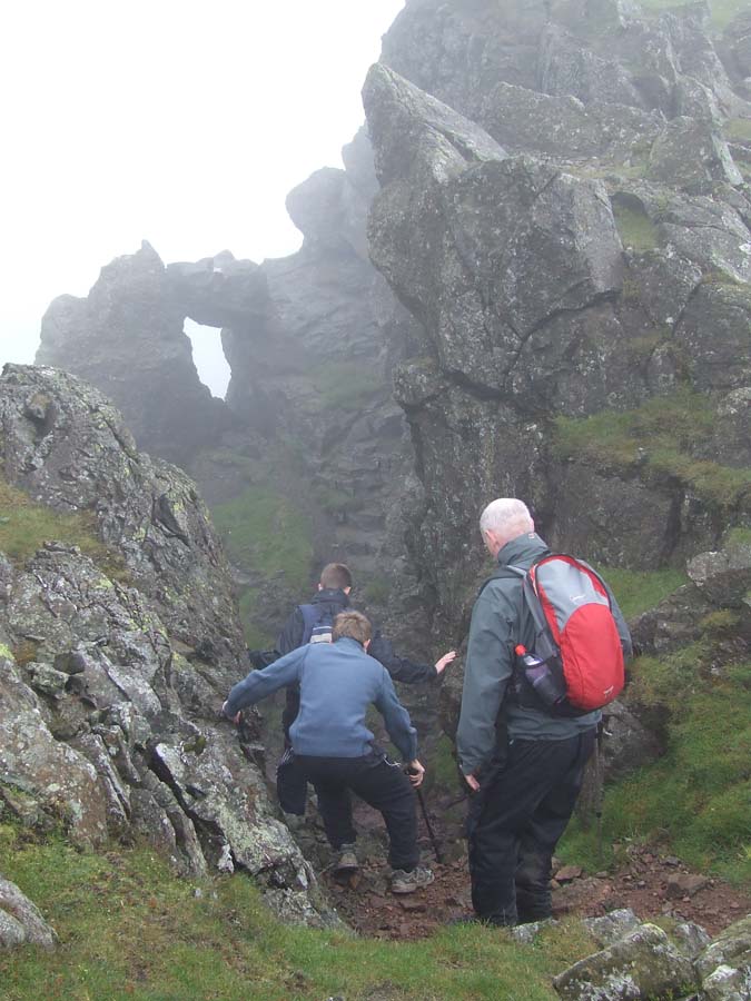
Pam and Paul approch the "hole in the wall" on the ascent to Dow Crag
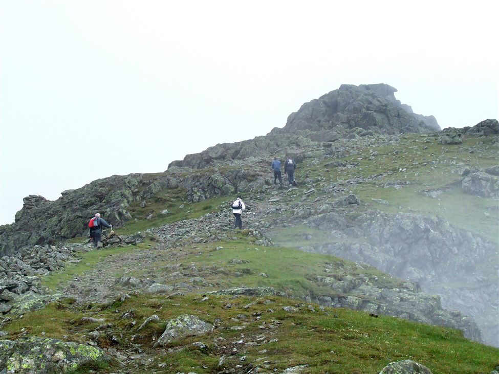
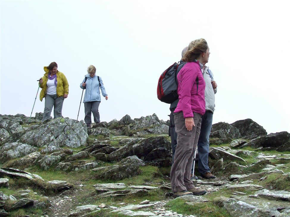
Paul, Susan, Jack and Sam approach Dow Crag summit
....and get ever nearer
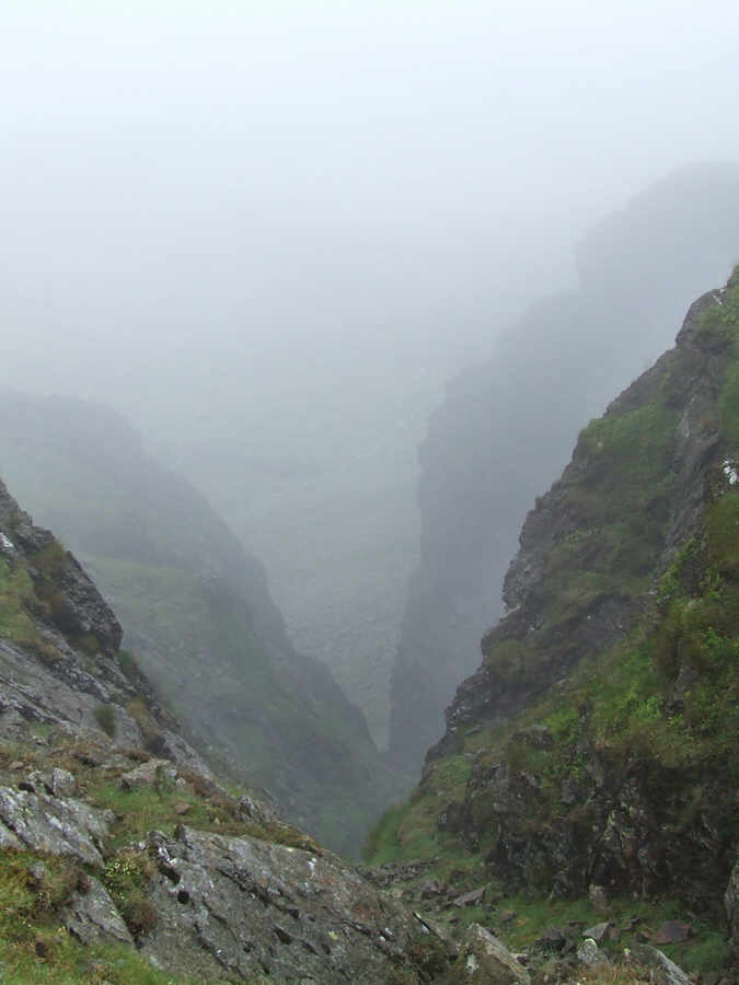
Looking down Dow Crag's North Gully
Sam and Jack head for Goats Hause, with Far Gill as a back drop
Sam, Jack and Susan on the path to Goats Hause
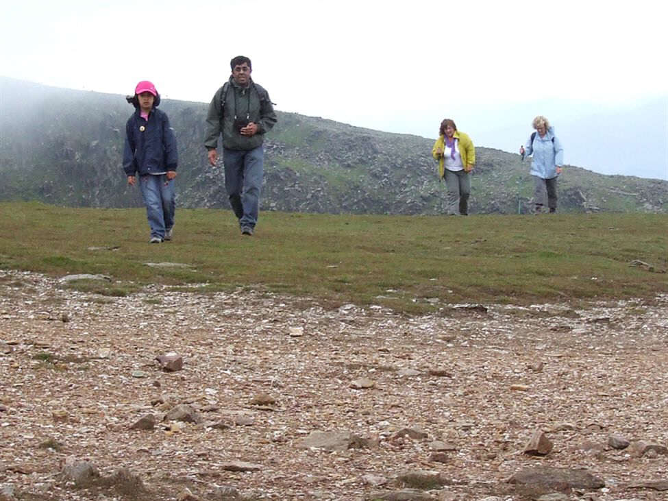
Paul and Naeem looking happy. (Naeem is probably telling his "calculator" story to Paul (yet again) Pam and Paul follow behind.
Smiles all round
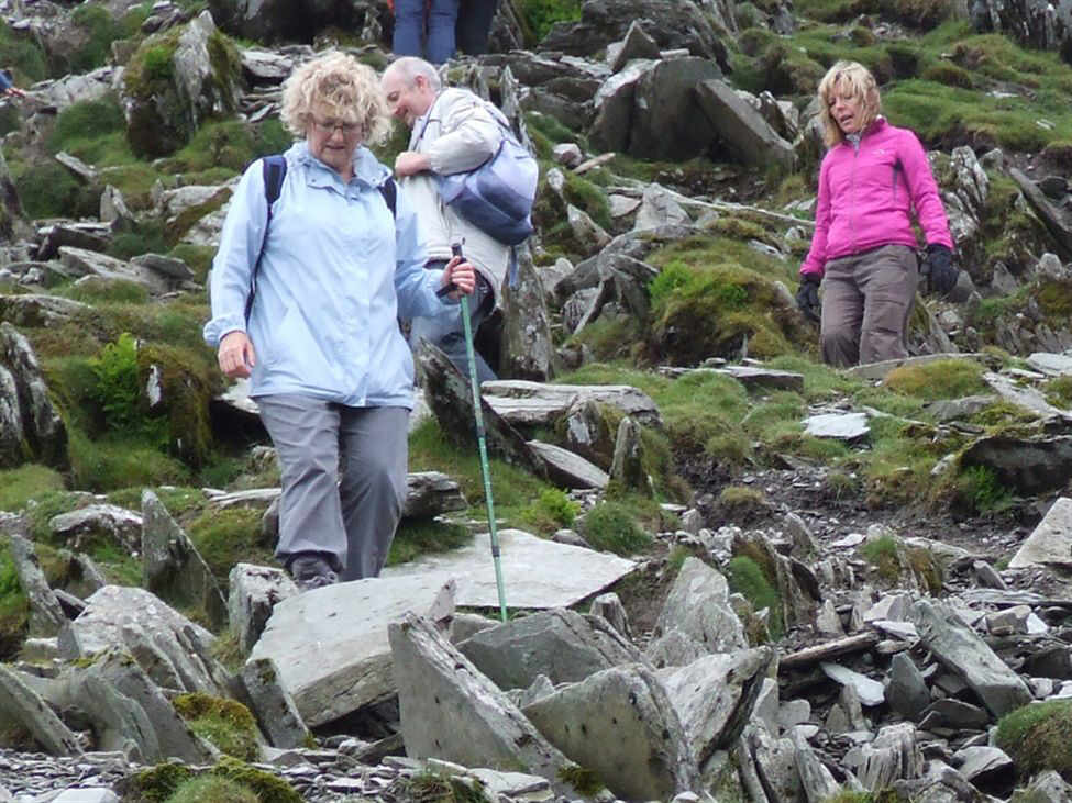
Then the mist re-appeared. Here Pam, Paul Meg and Ceri are descending Dow Crag for Goats Hause
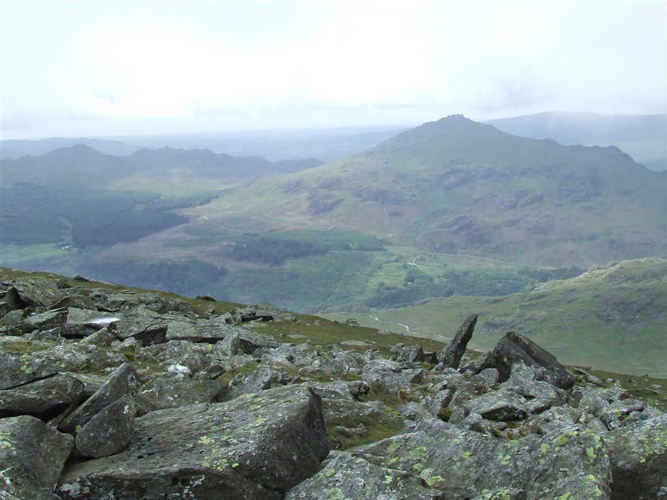
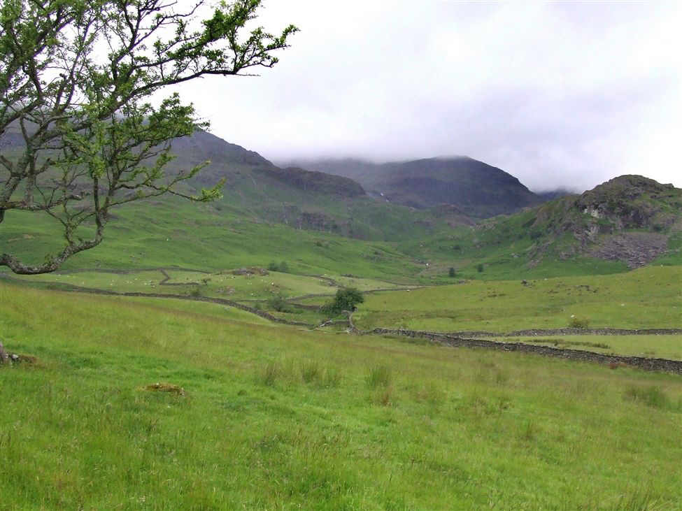
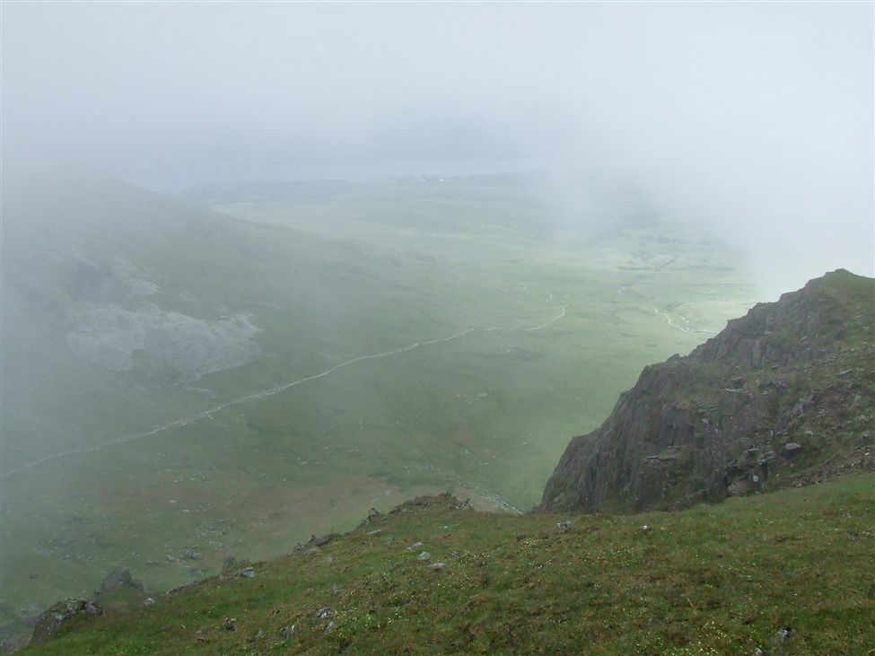
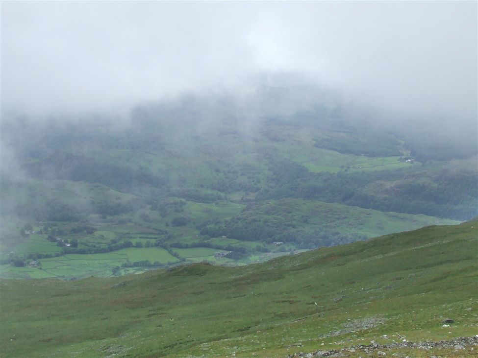
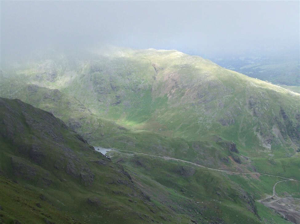
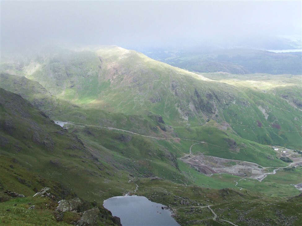
Then it was back to breaks in the cloud, and the lovely Caw and the Duddon Valley appear.
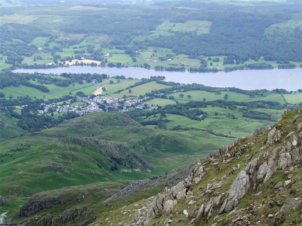
The view of Coniston Water from the descent to Goats Hause
Ceri, Meg, Pam and Paul nearing Goats Hause
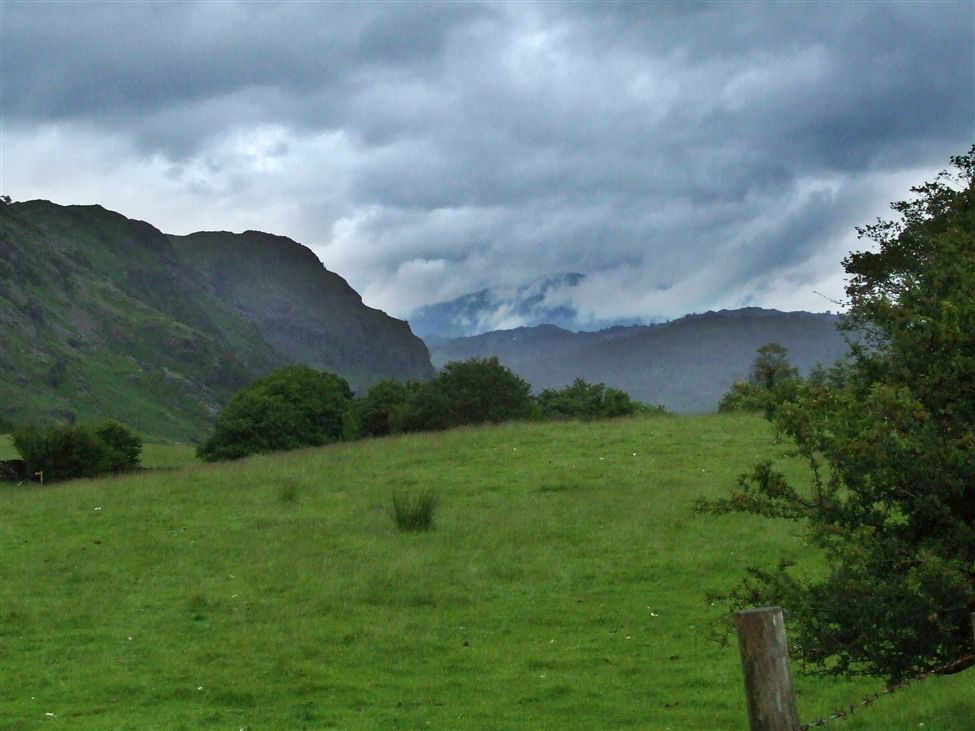
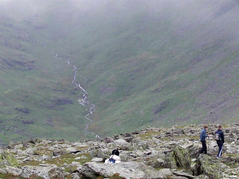
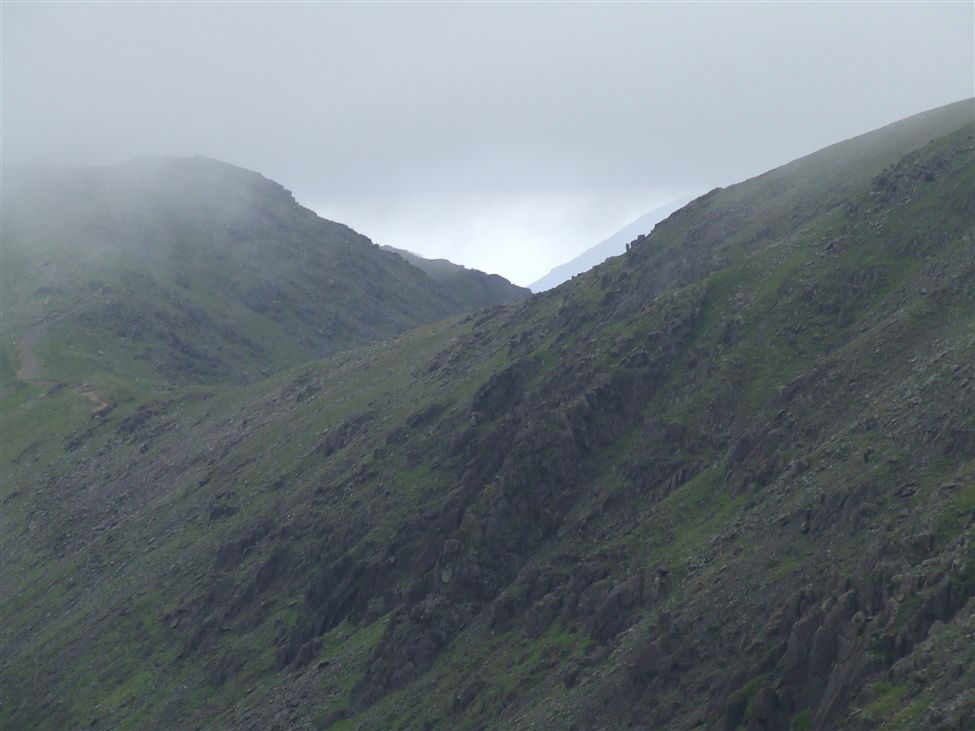
Cloud would rem ain a threat all day. Here the Duddon Valley appears.
The OMC from the col
Another view of Coniston water
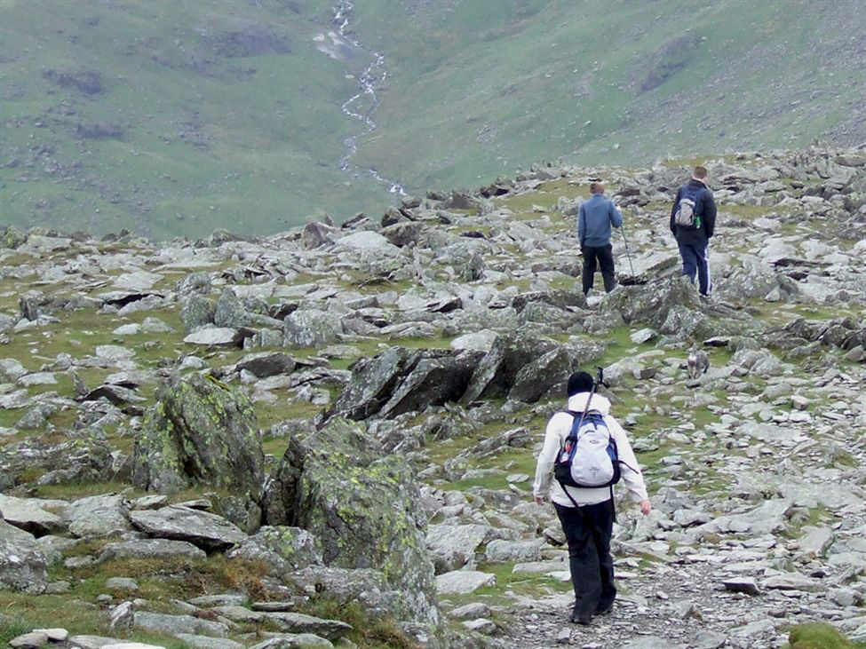
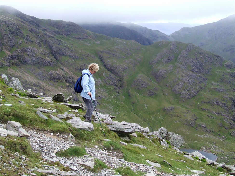
The final section of the descent to Goats Hause
The ridge to Swirl How
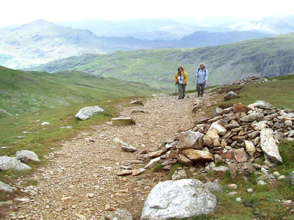
Susan and Paul approach the col
The Old Man of Coniston and the path from Goats Water
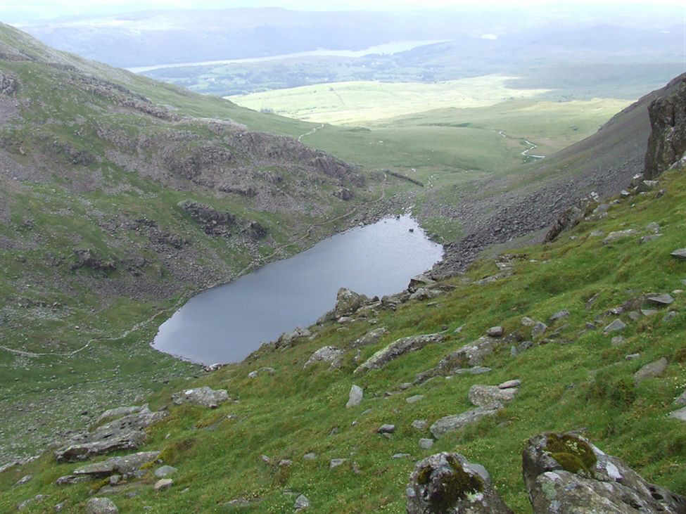
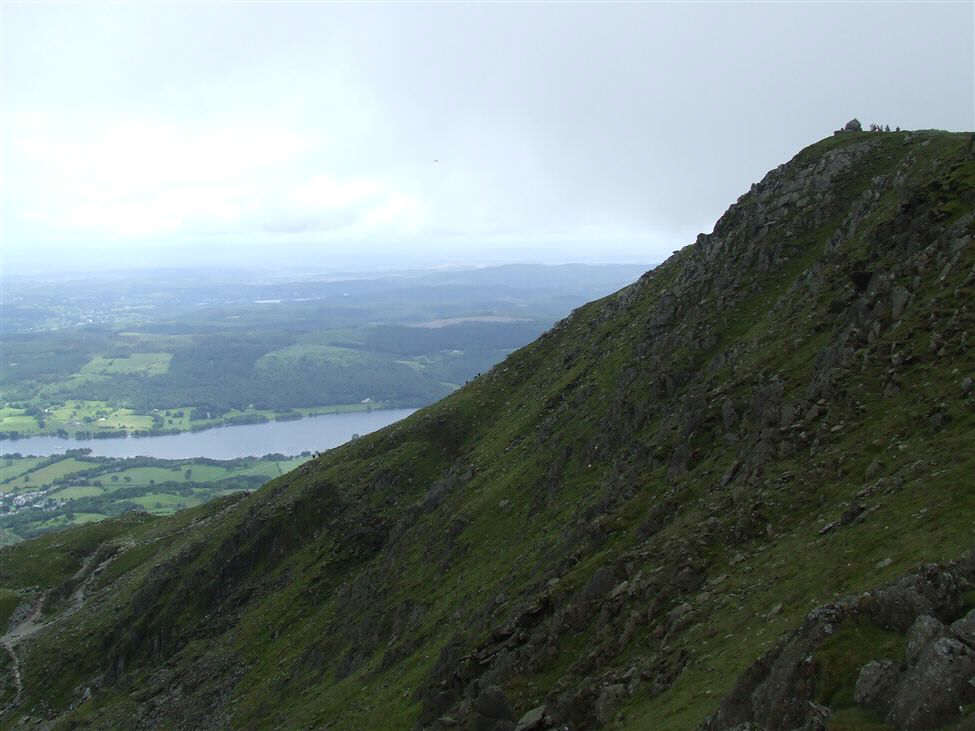
Goats Water and Coniston Water in the distance
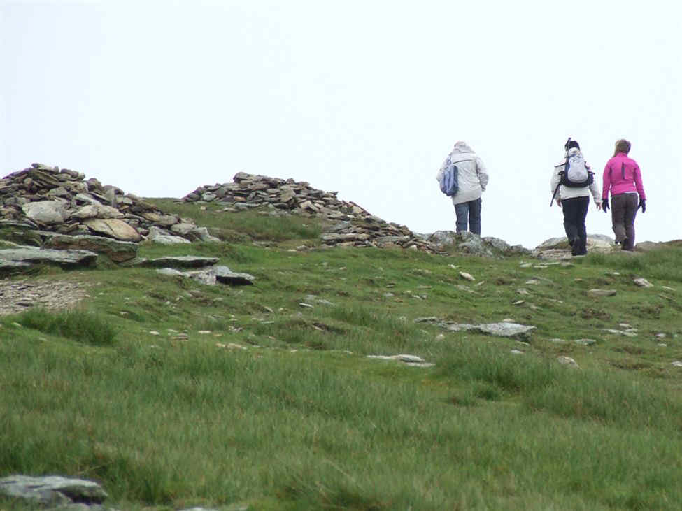
Some of our group wait at the col before the 510 feet climb to Coniston Old Man's summit
Hanna begins the climb
.... as do Paul and Pam
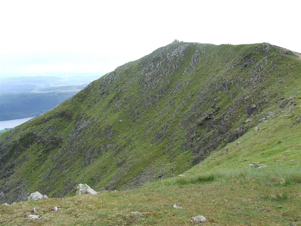
The Dow Crag Ridge, the skyline was our path up
Paul, Susan and Pam head for the final summit of the day
Ceri and Meg ascending the path from Goats Hause
Ceri and Meg
Hanna, Naeem, Ceri and Meg reach the Old Man's ridge
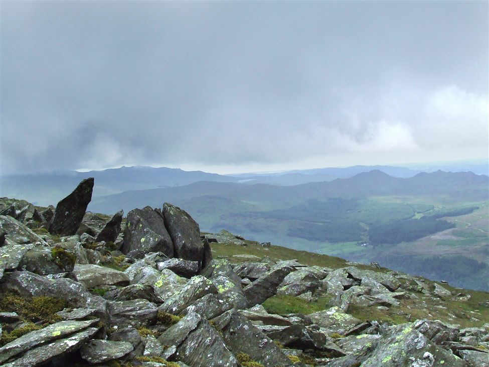
Coniston Water from near the Old Man's summit
The Old Man of Coniston's summit, nearly there now!
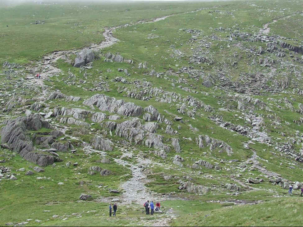
People looking like ants on the ridge and summit
Below is the path to Levers Water
Low Water and the Coppermines Valley
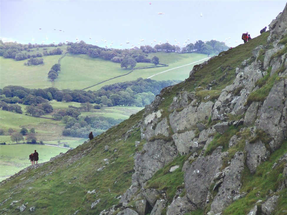
Climbers ascending the direct path from Coniston
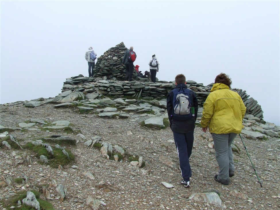
Sam and Ceri approach the summit
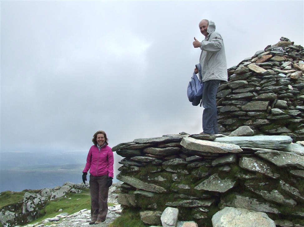
Pam and Paul on the summit
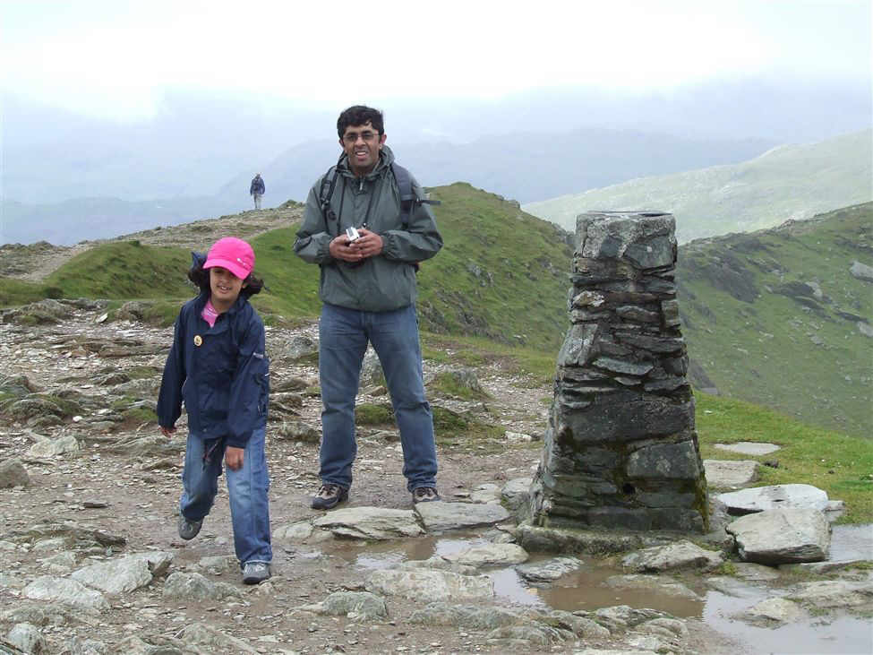
Hanna and Naeem at the Trig point on TOMC
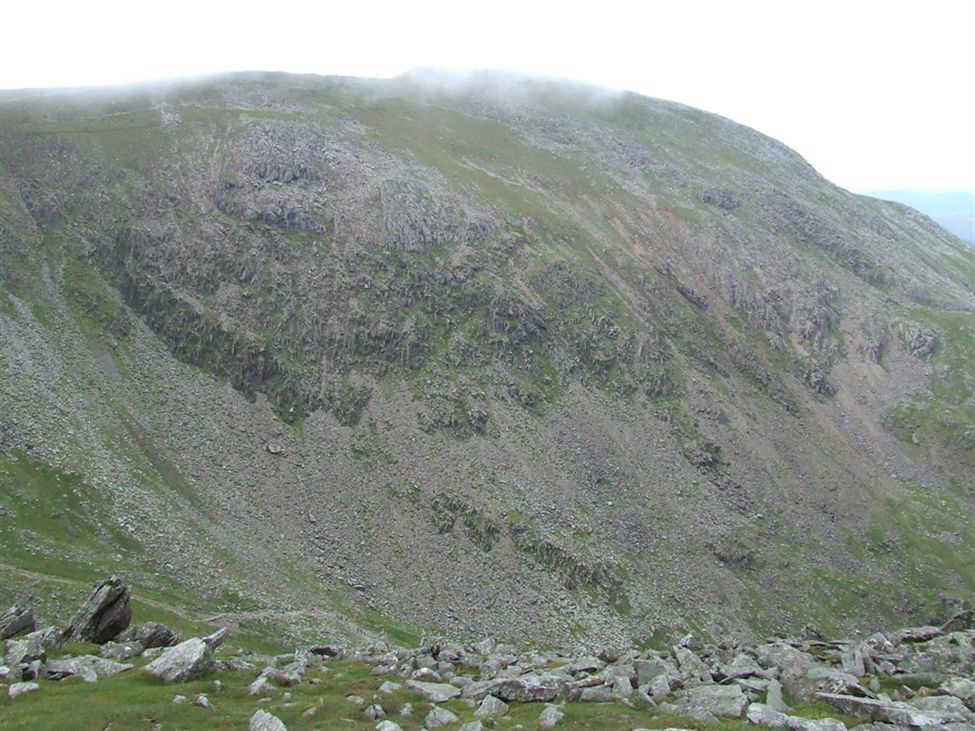
The steep drop to Low Water - our route of descent
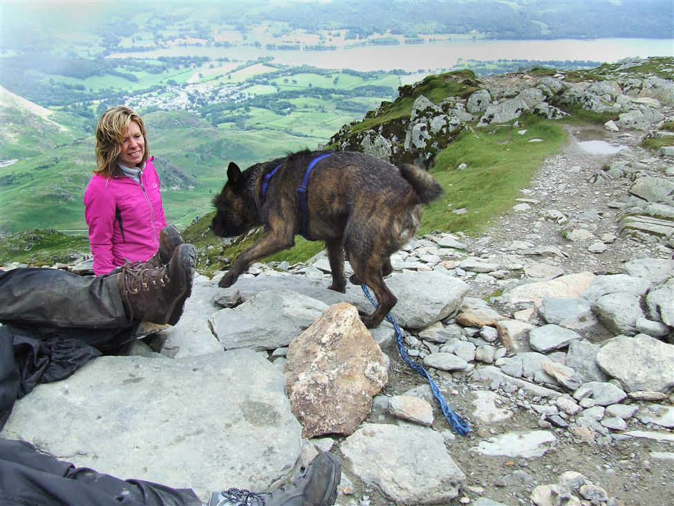
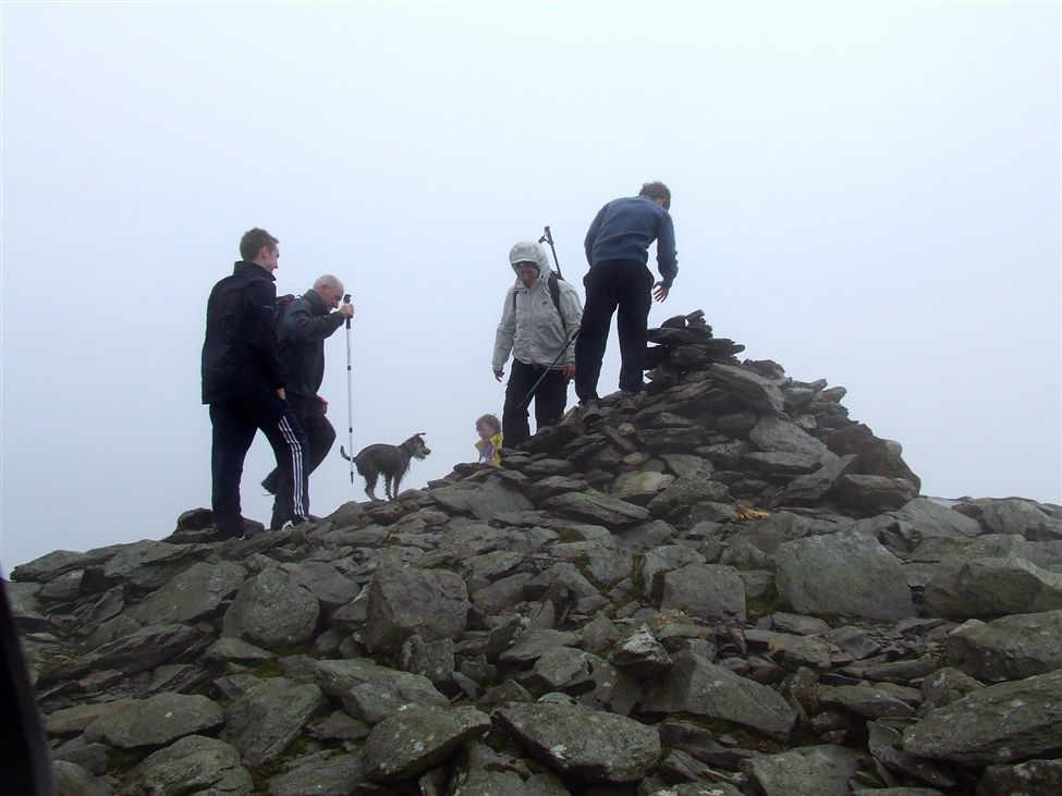
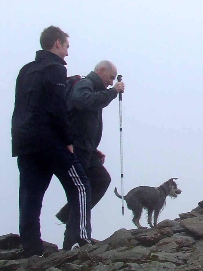
Pam looks at the Staffie crossed with a Border Terrier - it's not often you see a bearded Staffie!
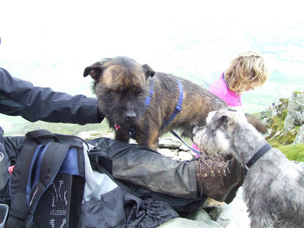
...and Ruby makes friends with him
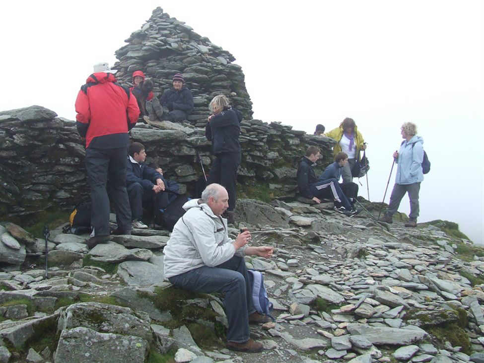
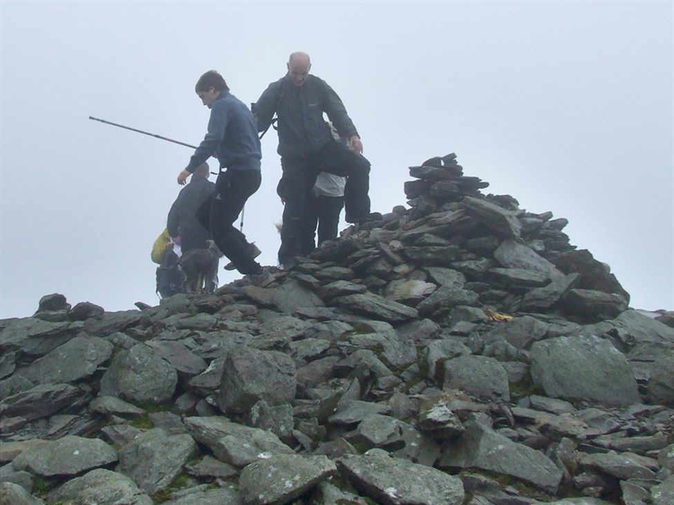
the scene at the summit
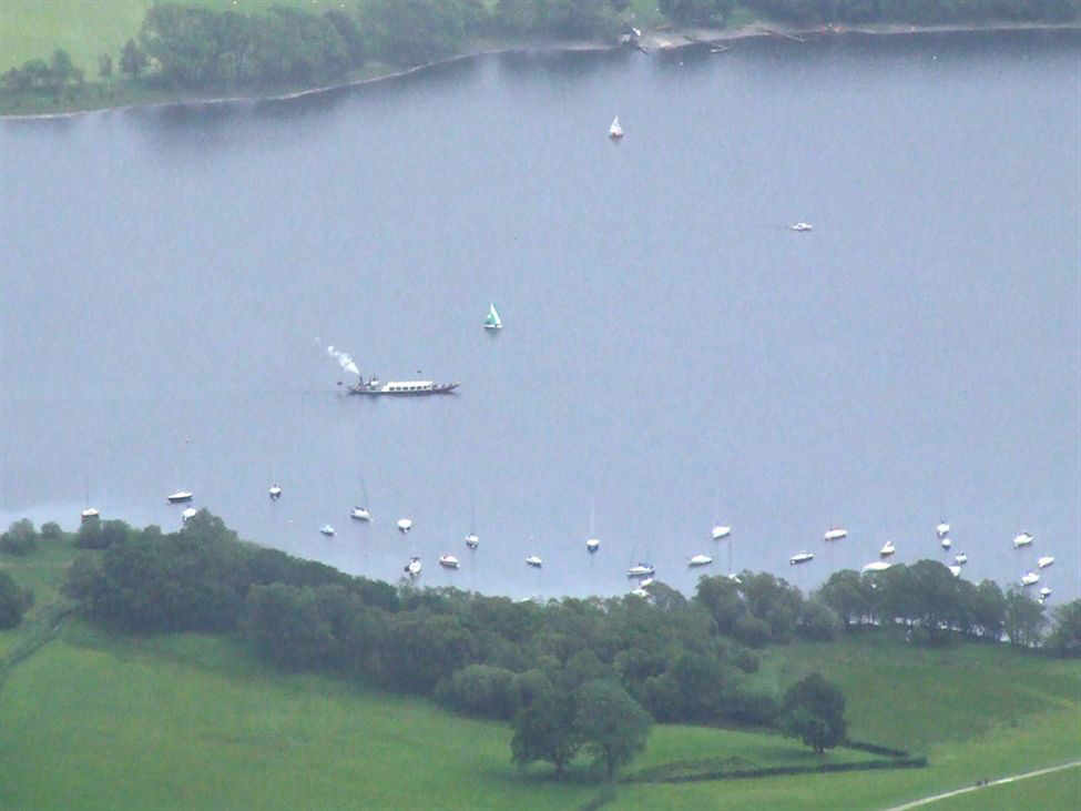
The Victorian steam gondola 2500 ft below us on Coniston Water
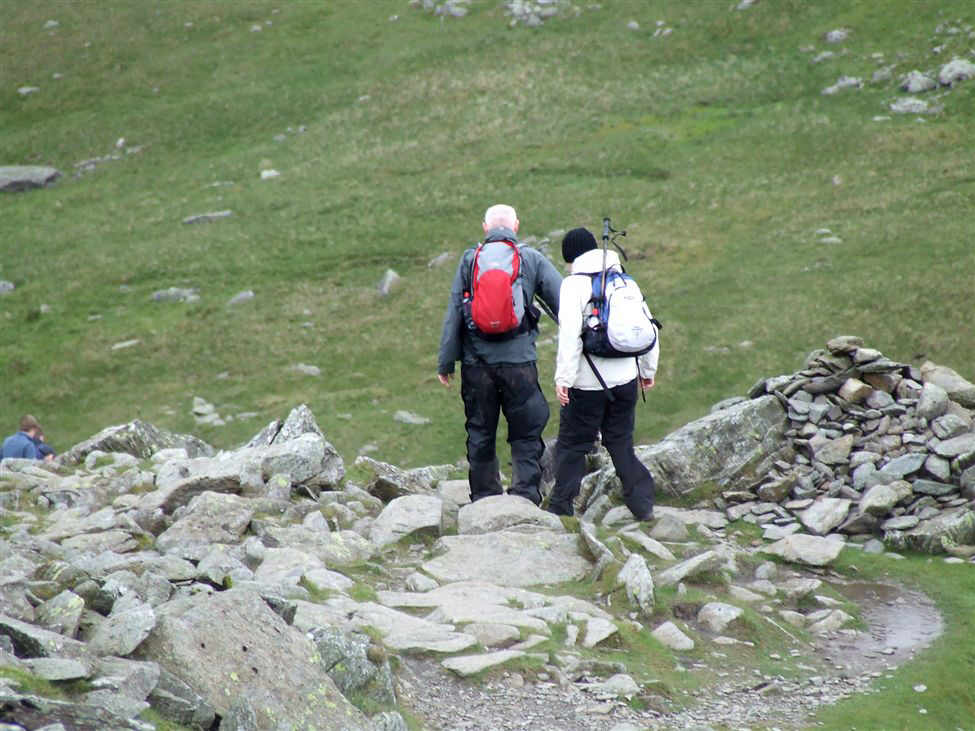
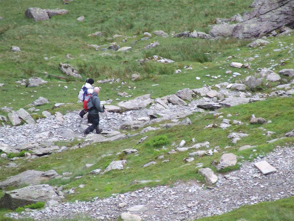
Susan and Paul begin the long and steep descent
...as do Naeem, Hanna, Meg, Ceri and Pam
Zooming in on Meg, Paul and Pam
Meg on the descent to Low Water
A tiny Susan and Paul approach Low Water
Zooming in on them
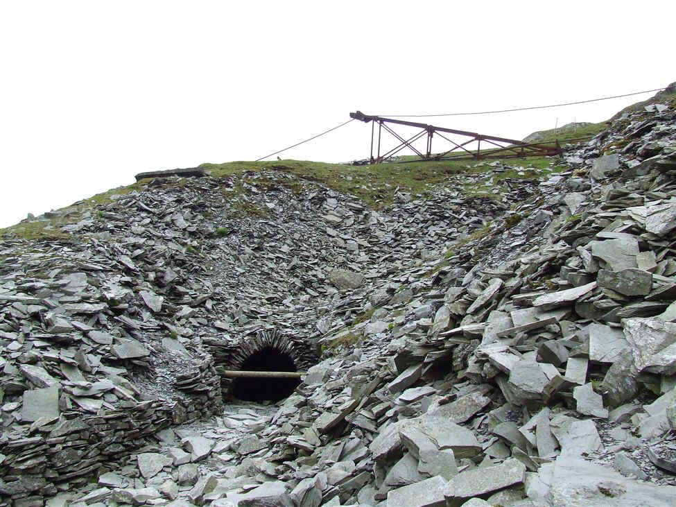
Leaving Low Water we entered the disused mine workings