Weather:
Dry with sunny spells with a slight haze for most of the day
Distance
9.5 miles.
Started
at:
Skelgill
We arrived slightly later than
planned due to a vintage car holding us up for most of the way between Ambleside
and Keswick. Consequently we found it difficult to get a car parking space, but
eventually we did. We set off taking the path from Skelgill up to Skelgill Bank,
which is at a better gradient than the path from Hawes End. Soon we were on the
ridge and heading for the summit. It was warm and sunny and it was nice not to
have to wear jackets/kagools etc. After a brief rest and taking in the views
from the summit we headed for Maiden Moor. After Hause Gate we stopped and had
haf an hour for lunch, something we haven't done for a while, and settled down
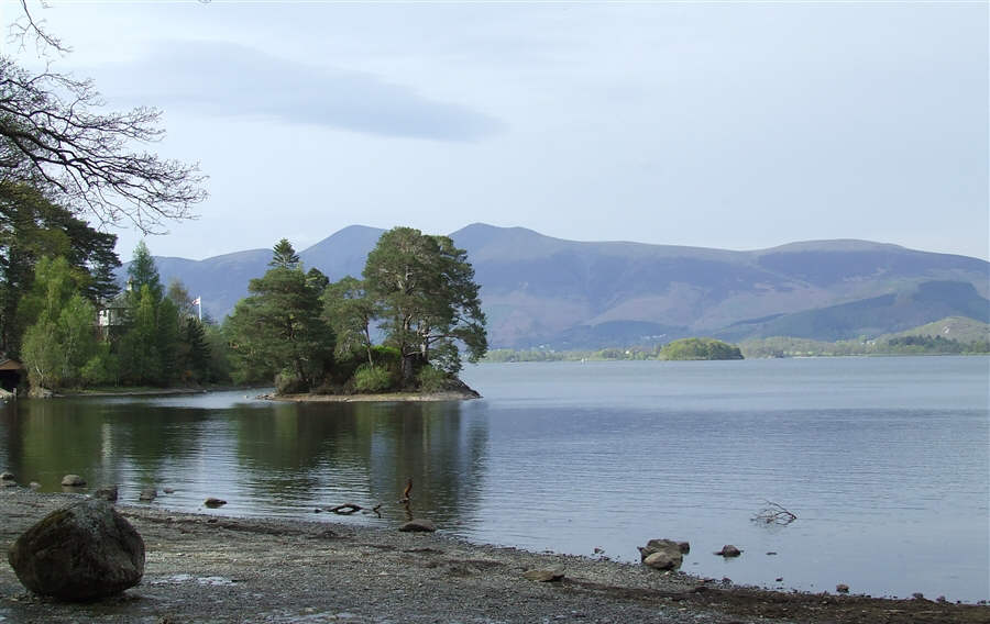
to enjoy the views way below us and across Derwentwater to Bleaberry
Fell
It had been quiet busy but beyond
Maiden Moor there were few people. We made our way to High Spy which we had to
ourselves for a time them made our way down through Rigghead quarries and on to
Castle Crag. From there we went to Grange and had a well needed cup of tea
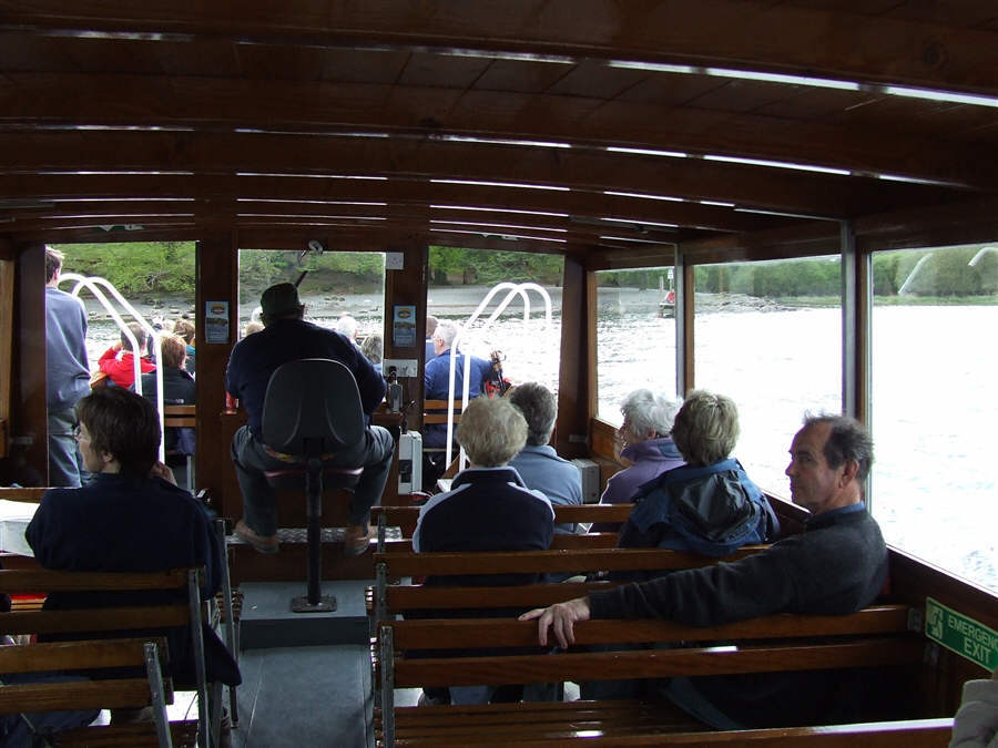
before heading off to the landing stage at Brandelhow Bay where we caught the
launch to Hawes End. Wearily, we walked the last mile back to the
car.
Twenty minutes later we were in the
Swinside Inn quaffing a well earned mead or two.
A great walk with great views -
brilliant!!
Please press the REFRESH
button on your browser if any pictures fail to load
Best viewed at 1024 x 768
resolution (or better)
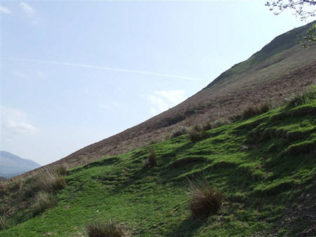
The western
slope of Cat Bells from the start of the walk
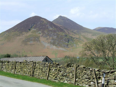
Looking across
to Causey Pike
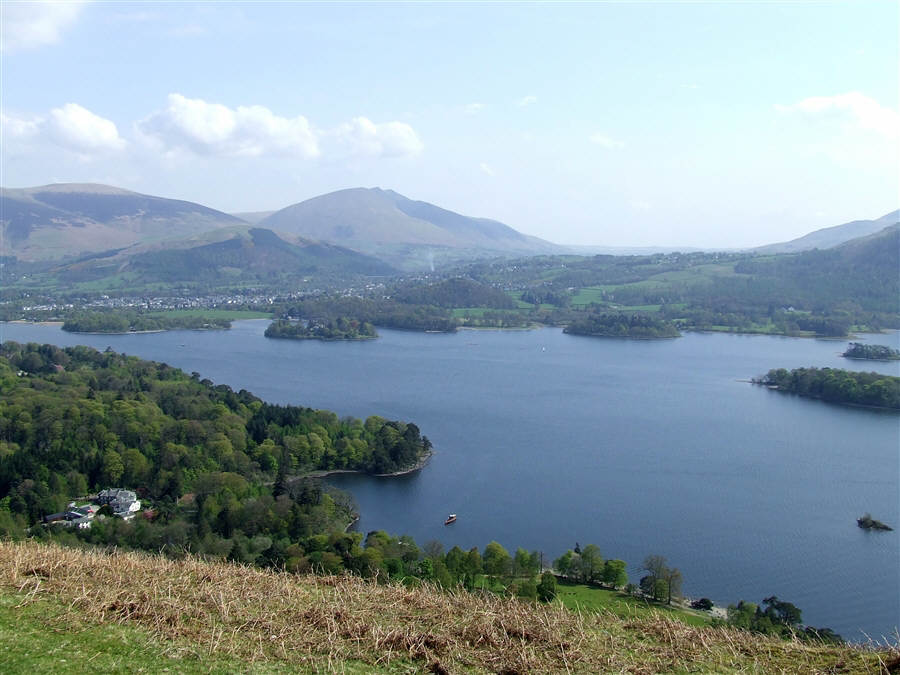
Derwentwater
and Blencathra beyond
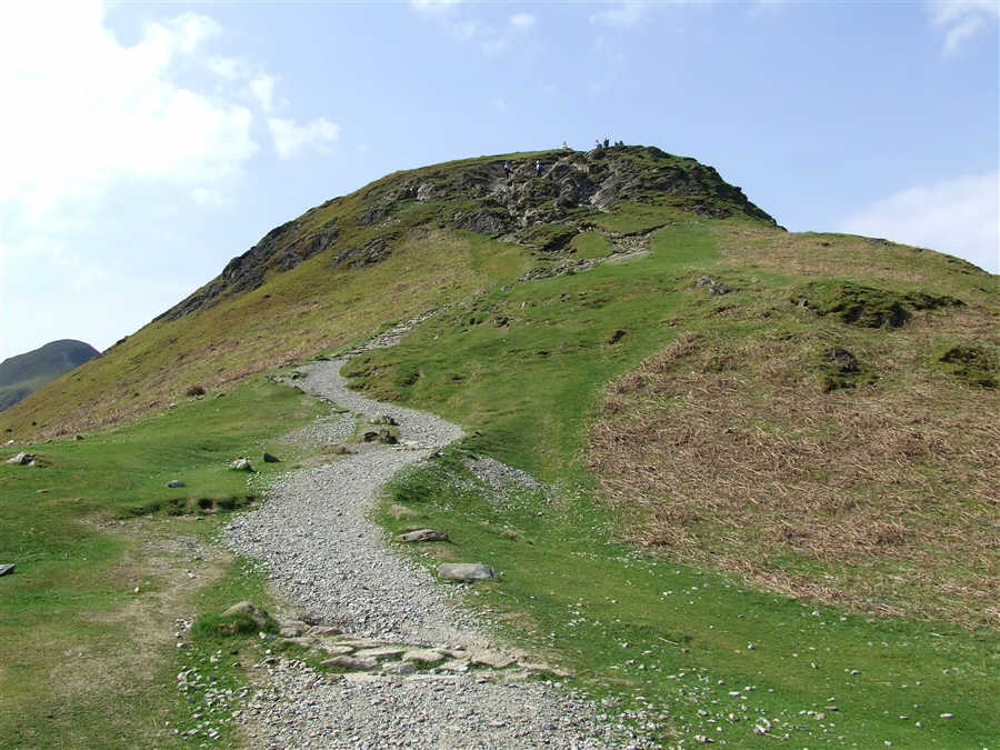
The path on to
the main ridge of Cat Bells - the main summit is far
left
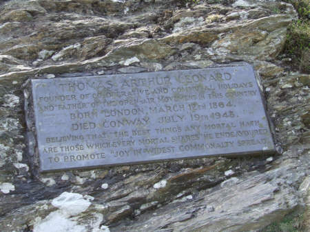
On the section were a little
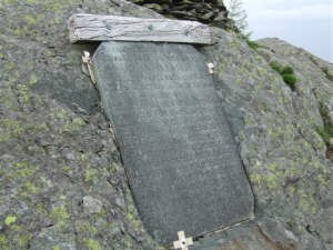
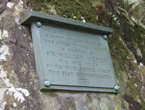
scrambling is required there is a plaque dedicated to Thomas Arthur
Leonard. We saw three plaques on today's walk.
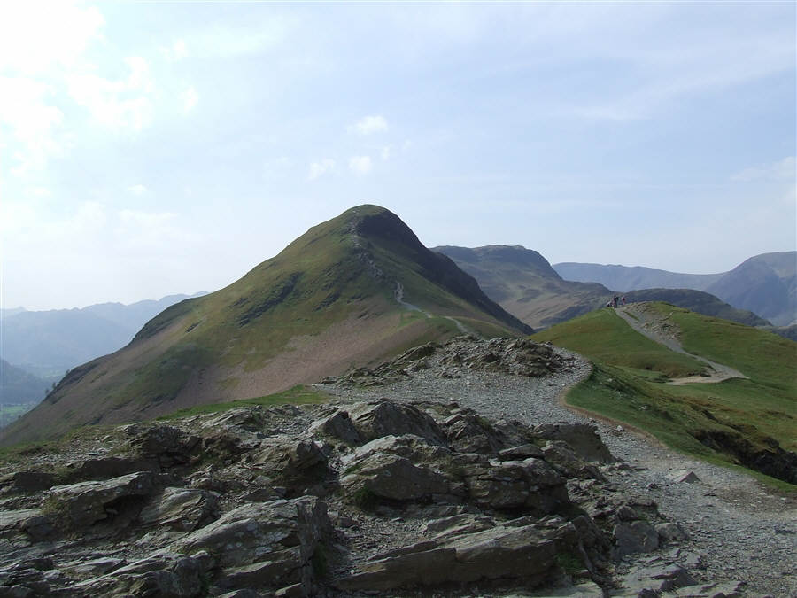
This is the
view on reaching the main ridge - Cat Bells with Maiden Moor
beyond
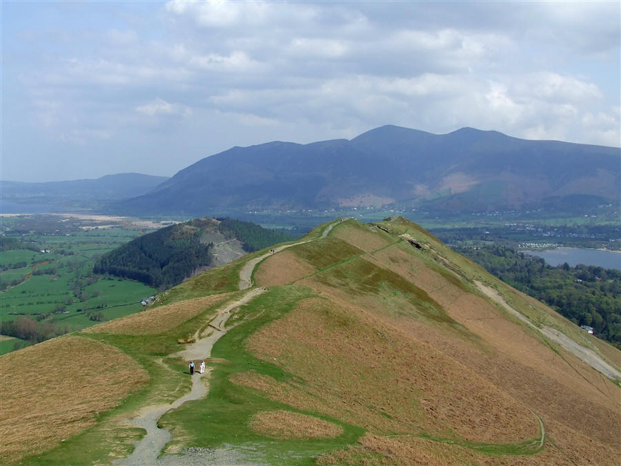
And this view
is looking back along the ridge. Skiddaw is in the
distance
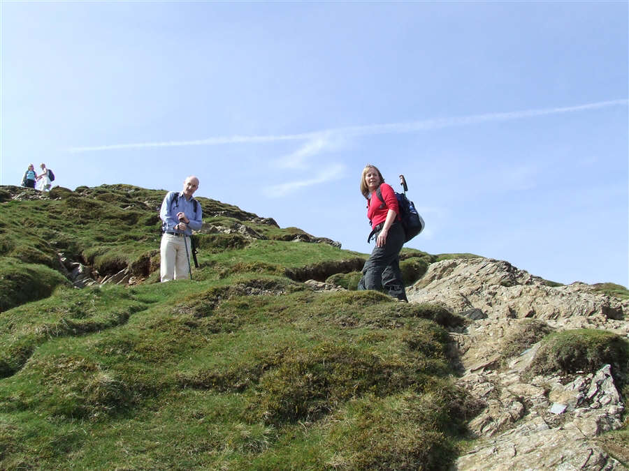
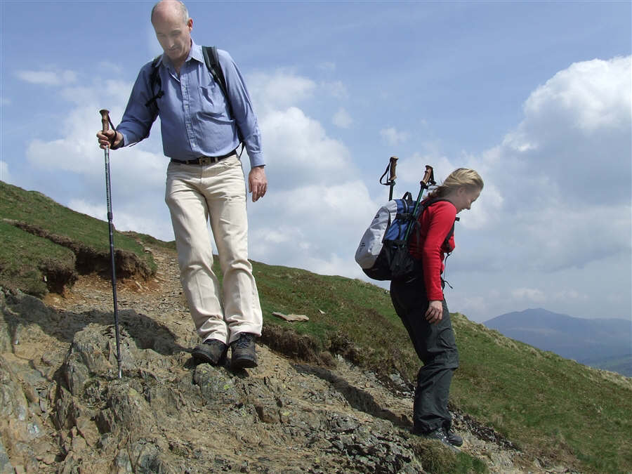
Paul and Susan
on the steep section to the summit
..and here
descending Cat Bells on the way to Maiden Moor
Looking South
and the path to Maiden Moor is clearly visible
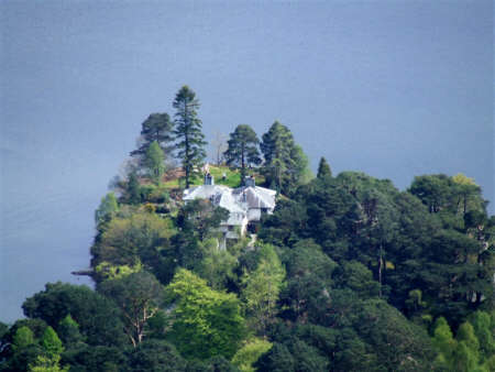
This is the house on
Brandelhow Point way below our picnic spot near Hause Gate
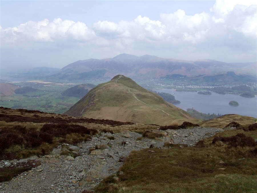
Looking back
to Cat Bells
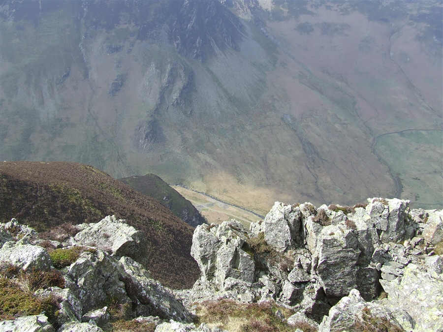
Looking down
the steep western slope of Maiden Moor
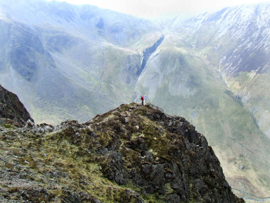
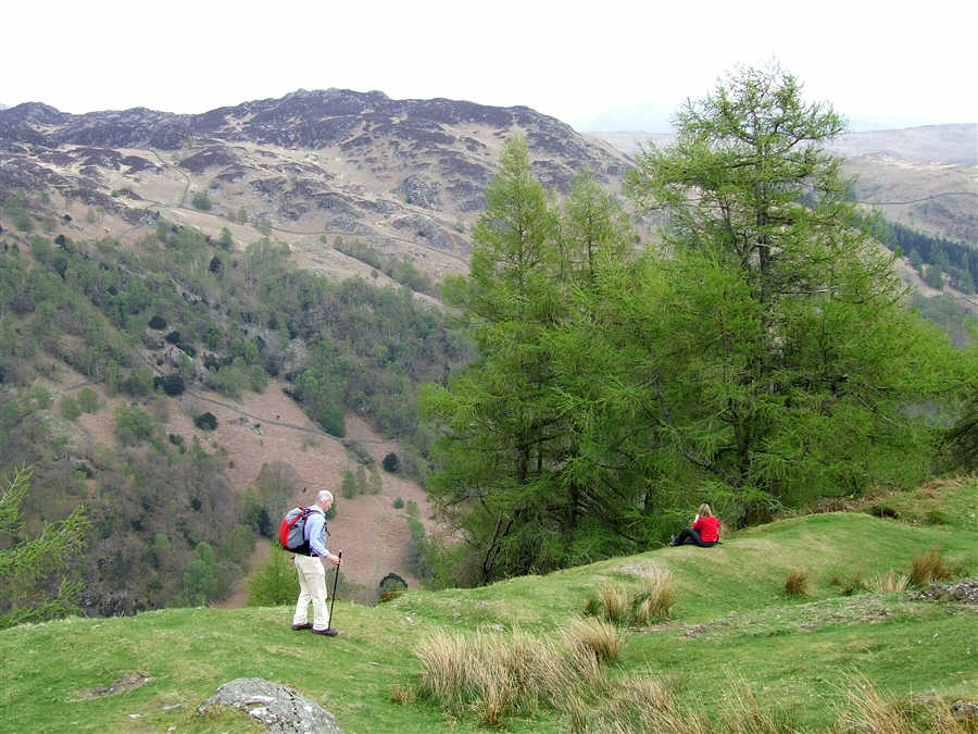
Susan and Paul
on Eel Crags with the ravine of Far Tongue Gill beyond
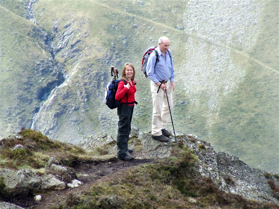
then
Zooming in on
them
Susan and Paul
on High Spy summit
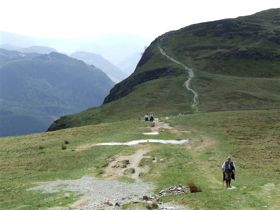
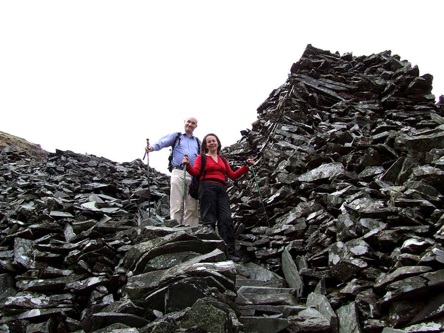
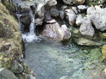
Descending
through Rigghead Quarries
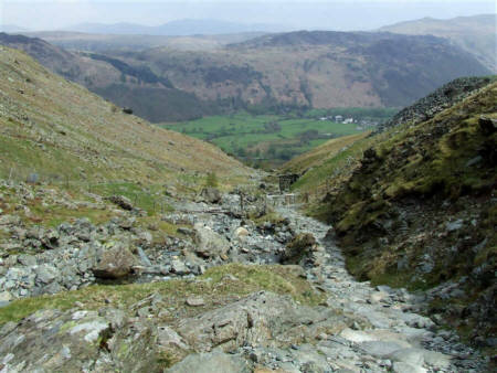
The descent
route down Tongue Gill
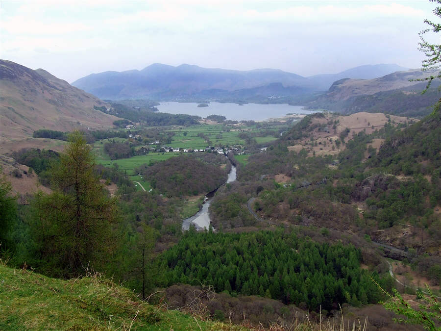
The view from
Castle Crag
The plaque to
the left is on the summit of Castle Crag and the one on the right is on
the western descent path of the Crag
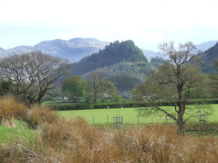
Looking across
to Grange Fell
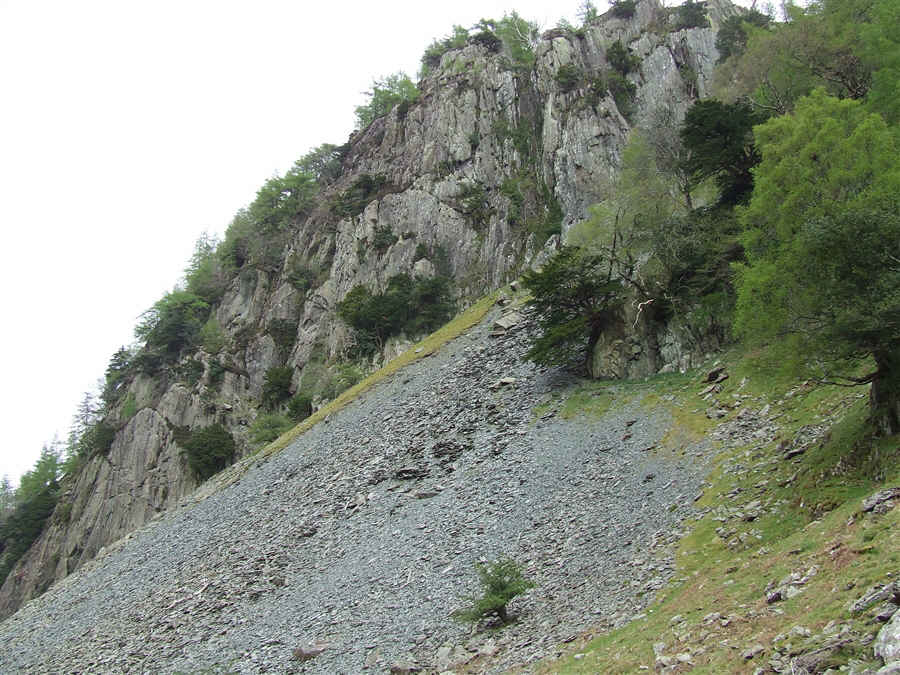
The crag on
the western side of Castle Crag
Paul and I at the cafe in
Grange.
Castle Crag
from the path to Brandelhow landing stage